MyTopo
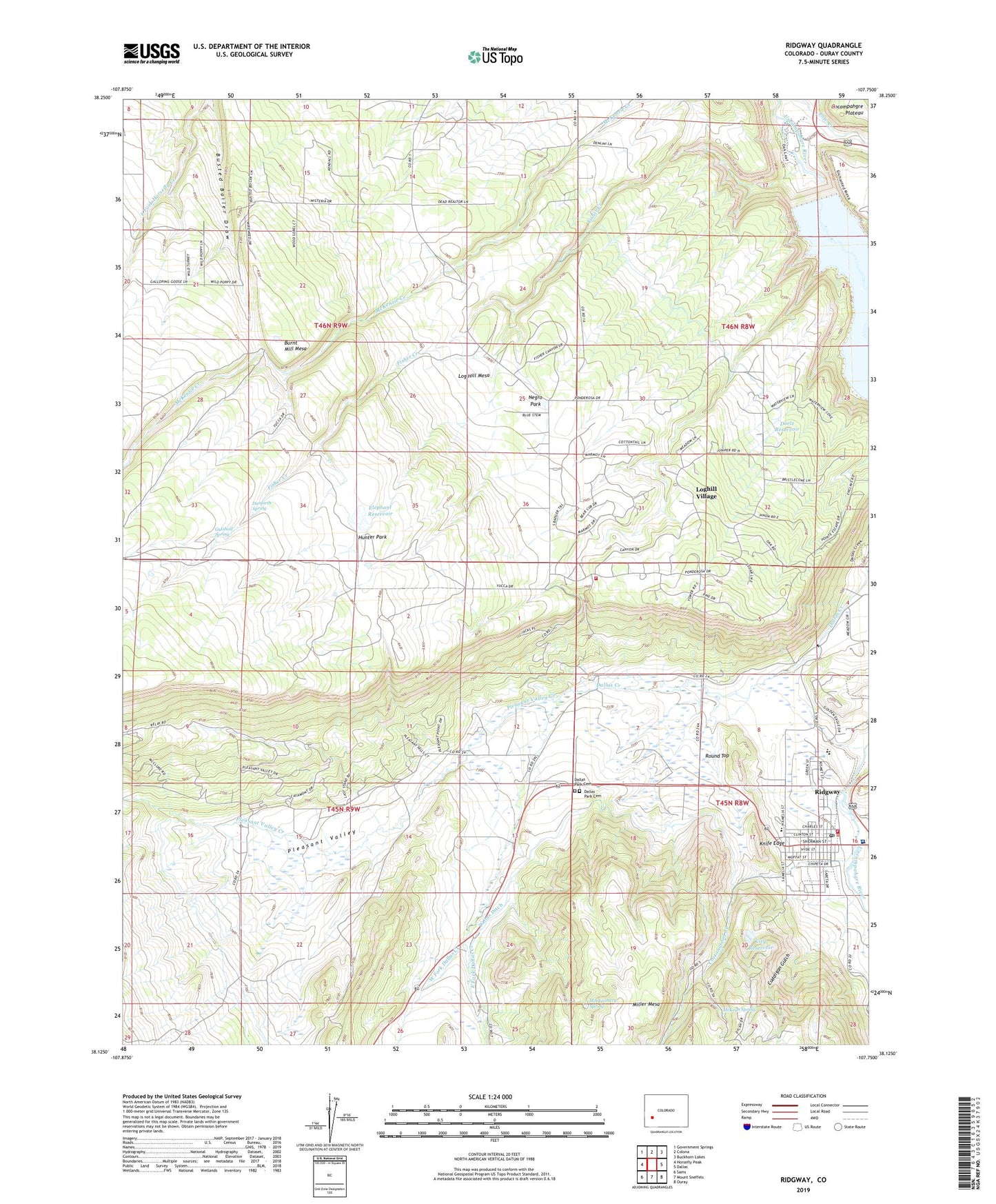
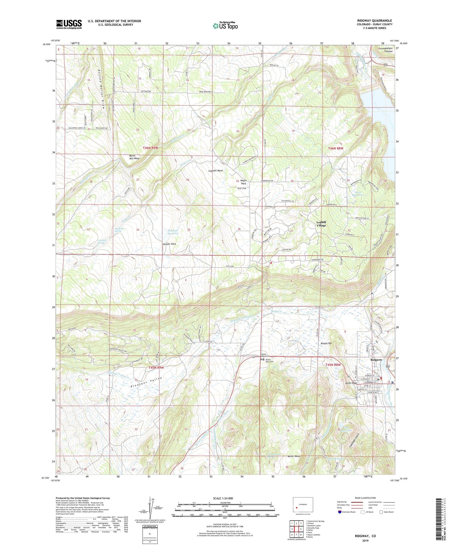
Ridgway Colorado US Topo Map
Couldn't load pickup availability
2022 topographic map quadrangle Ridgway in the state of Colorado. Scale: 1:24000. Based on the newly updated USGS 7.5' US Topo map series, this map is in the following counties: Ouray. The map contains contour data, water features, and other items you are used to seeing on USGS maps, but also has updated roads and other features. This is the next generation of topographic maps. Printed on high-quality waterproof paper with UV fade-resistant inks.
Quads adjacent to this one:
West: Horsefly Peak
Northwest: Government Springs
North: Colona
Northeast: Buckhorn Lakes
East: Dallas
Southeast: Ouray
South: Mount Sneffels
Southwest: Sams
This map covers the same area as the classic USGS quad with code o38107b7.
Contains the following named places: Alkali Creek, Burnt Mill Mesa, Busted Boiler Draw, City Reservoir, Cottonwood Creek, Cuddigan Gulch, Dallas Ditch, Dallas Park Cemetery, Danforth Spring, Dipping Vat Creek, Doelz Dam, Doelz Reservoir, East Fork Dallas Creek, Elephant Dam, Elephant Reservoir, Fisher Camp, Fisher Creek, Gutshall Spring, Hunter Park, Knife Edge, KURA-FM (Ouray), Log Hill Mesa Fire Protection District Station 2 Headquarters, Loghill Village, Loghill Village Census Designated Place, McKean Spring, Montgomery Spring, Mountain Medical Center, Negro Park, Ouray County, Ouray County Fairgrounds and Rodeo, Ouray Division, Pleasant Valley, Pleasant Valley Creek, Ridgway, Ridgway Area Chamber of Commerce, Ridgway Community Church, Ridgway Community Library, Ridgway Elementary School, Ridgway Fire Department, Ridgway Marshal's Office, Ridgway Post Office, Ridgway Rehabilitation Center, Ridgway Reservoir, Ridgway Town Hall, Ridgway Town Park, Ridgway Volunteer Fire Department, Round Top, Town of Ridgway, West Fork Dallas Creek


