MyTopo
Greystone Colorado US Topo Map
Couldn't load pickup availability
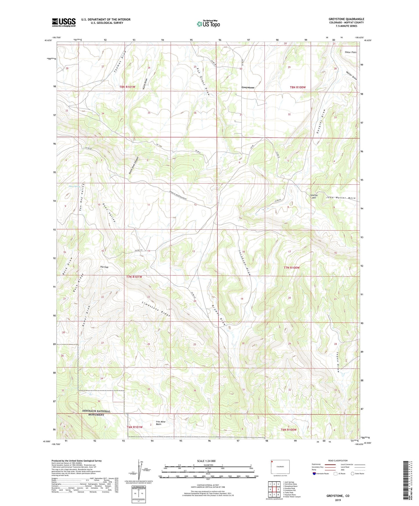
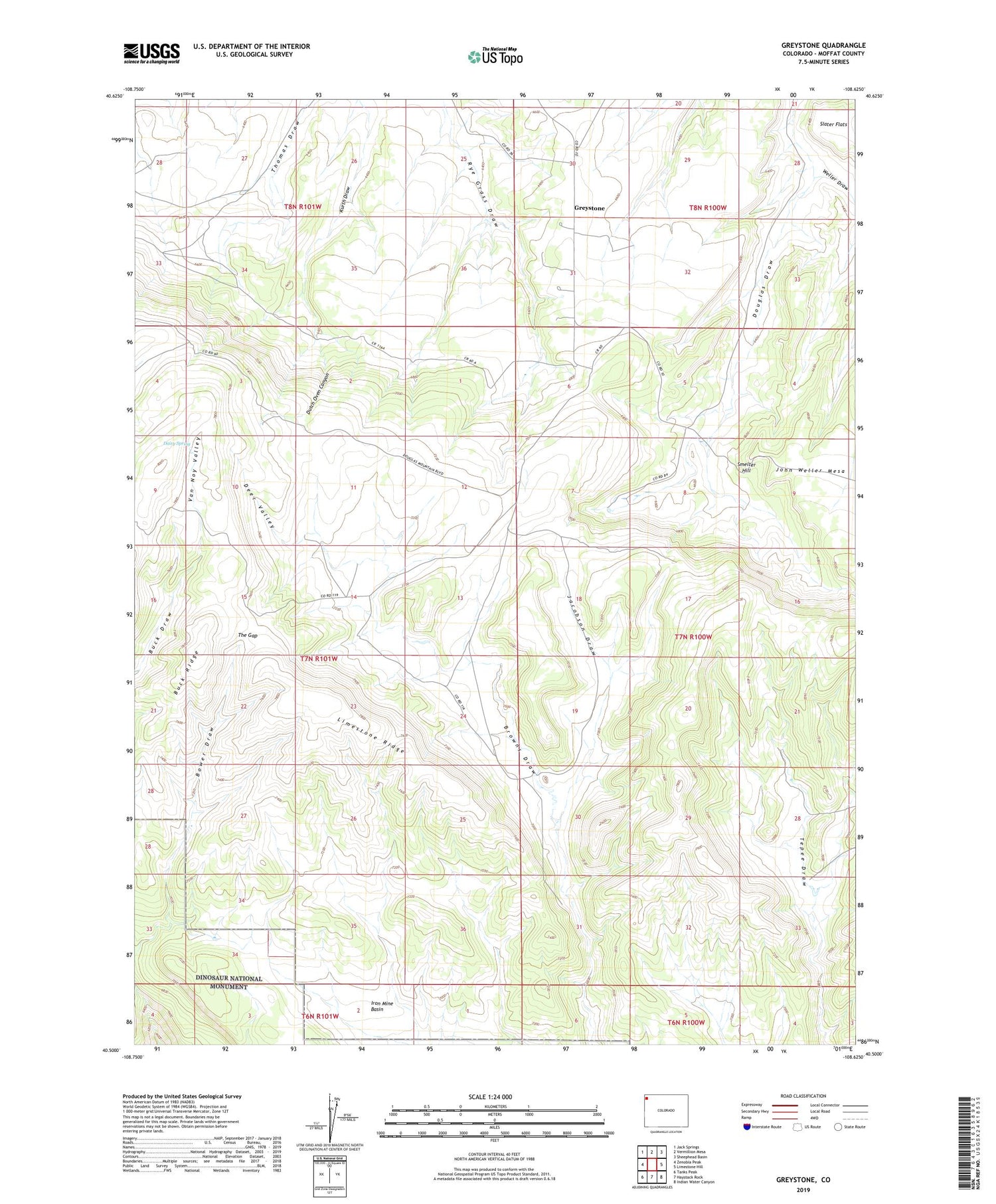
2022 topographic map quadrangle Greystone in the state of Colorado. Scale: 1:24000. Based on the newly updated USGS 7.5' US Topo map series, this map is in the following counties: Moffat. The map contains contour data, water features, and other items you are used to seeing on USGS maps, but also has updated roads and other features. This is the next generation of topographic maps. Printed on high-quality waterproof paper with UV fade-resistant inks.
Quads adjacent to this one:
West: Zenobia Peak
Northwest: Jack Springs
North: Vermillion Mesa
Northeast: Sheephead Basin
East: Limestone Hill
Southeast: Indian Water Canyon
South: Haystack Rock
Southwest: Tanks Peak
This map covers the same area as the classic USGS quad with code o40108e6.
Contains the following named places: Bower Place, Buck Ridge, Daisy Spring, Deer Valley, Douglas Mountain, Dutch Oven Canyon, Greystone, Greystone Post Office, Iron Mine Basin, Jacobson Draw, Limestone Ridge, Petes Place, Smelter Hill, Smelter Place, Sweet Place, Tepee Ranch, The Gap, Van Noy Valley, Weller Draw, Whiskey Springs Ranch