MyTopo
Little Sheep Mountain Colorado US Topo Map
Couldn't load pickup availability
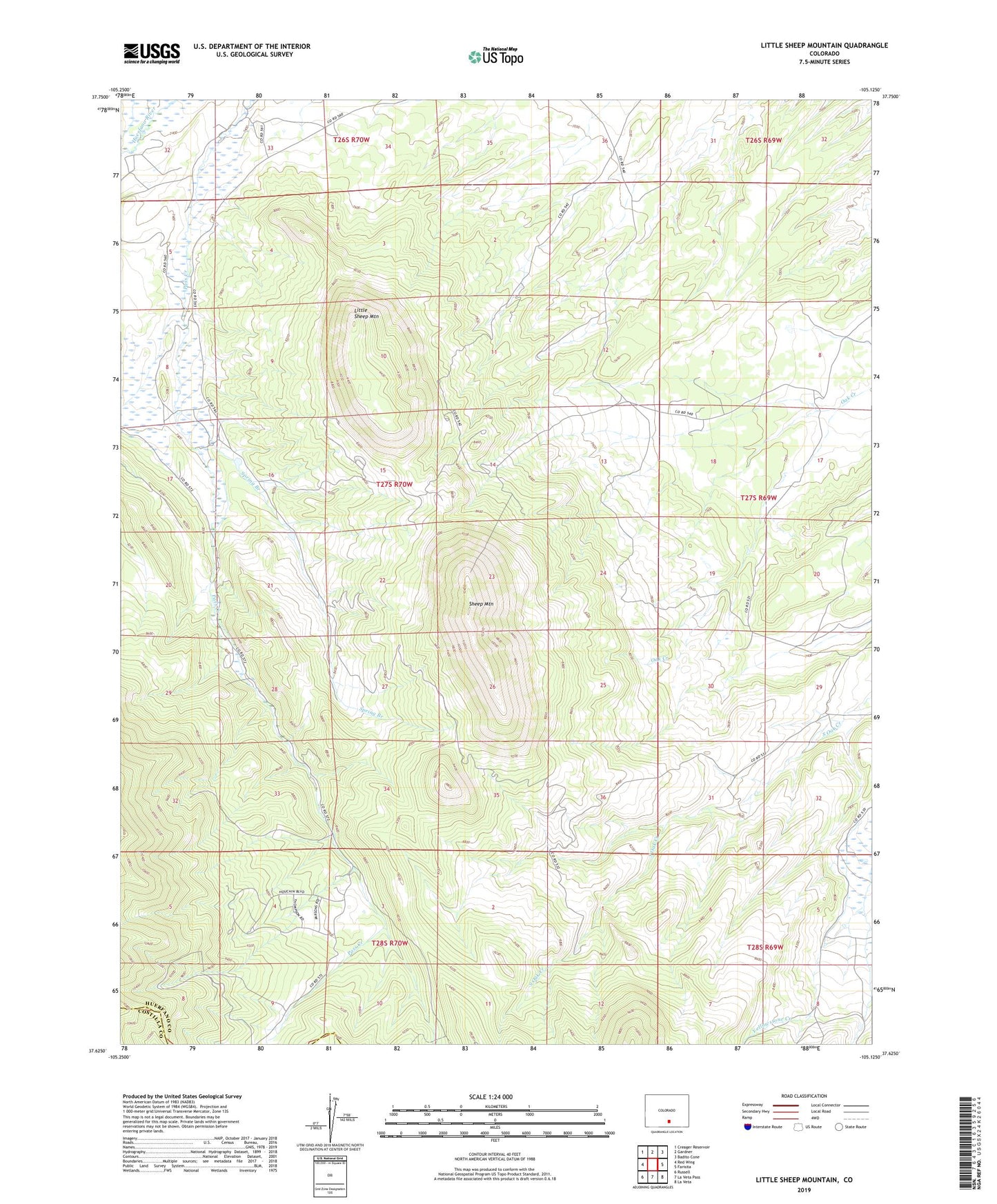
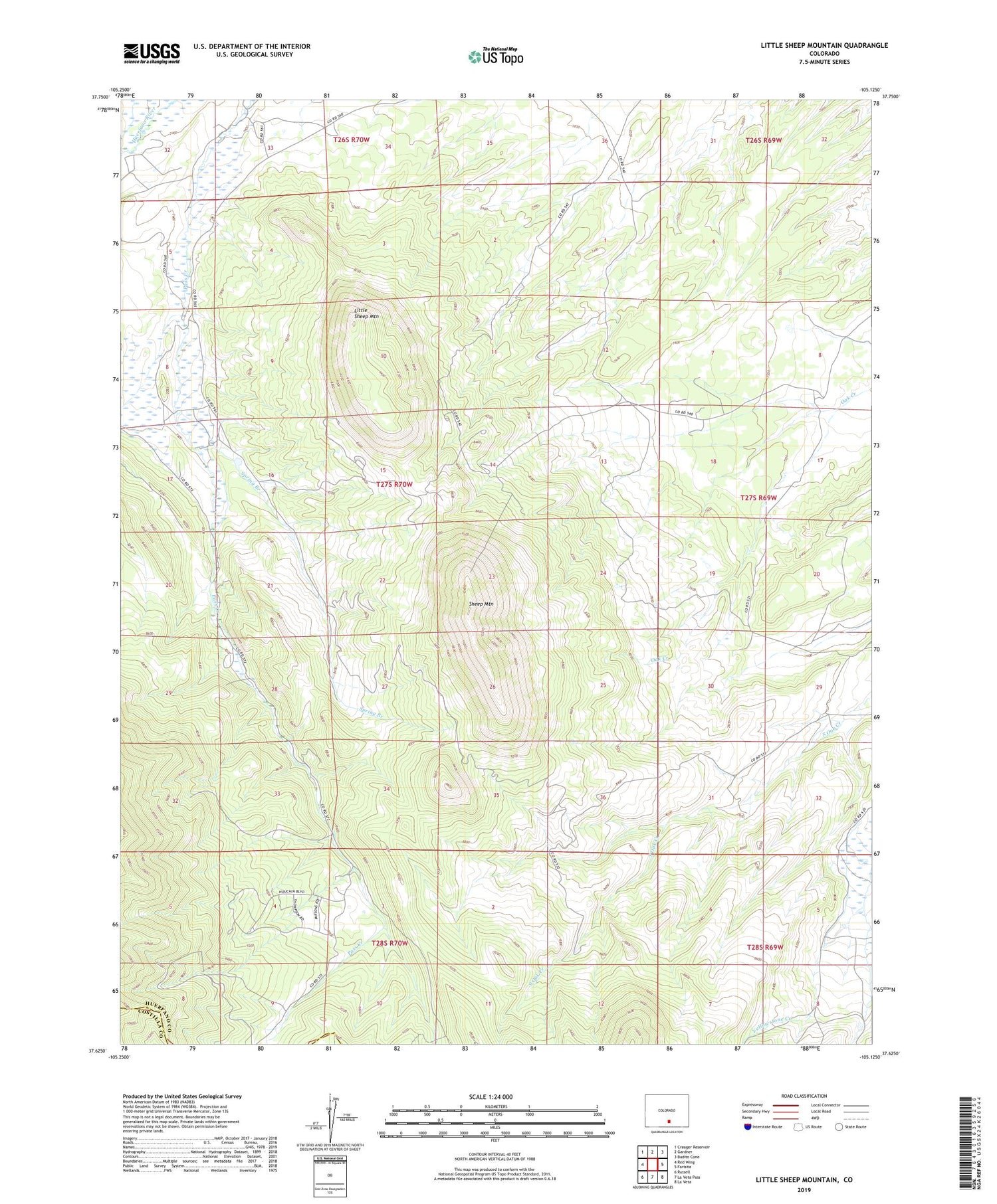
2022 topographic map quadrangle Little Sheep Mountain in the state of Colorado. Scale: 1:24000. Based on the newly updated USGS 7.5' US Topo map series, this map is in the following counties: Huerfano, Costilla. The map contains contour data, water features, and other items you are used to seeing on USGS maps, but also has updated roads and other features. This is the next generation of topographic maps. Printed on high-quality waterproof paper with UV fade-resistant inks.
Quads adjacent to this one:
West: Red Wing
Northwest: Creager Reservoir
North: Gardner
Northeast: Badito Cone
East: Farisita
Southeast: La Veta
South: La Veta Pass
Southwest: Russell
This map covers the same area as the classic USGS quad with code o37105f2.
Contains the following named places: Aguirre Ditch, Deus Pass Creek Ditch, Gimlet Ditch, Gordon Spring Ditch, Lewis Ditch, Little Sheep Mountain, Sheep Mountain, South Fork Yellowstone Creek, Spring Branch, Upper Huerfano Number 3 Ditch