MyTopo
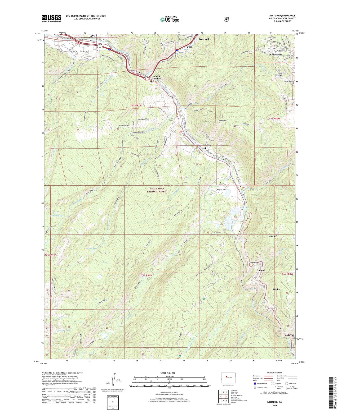
Minturn Colorado US Topo Map
Couldn't load pickup availability
Also explore the Minturn Forest Service Topo of this same quad for updated USFS data
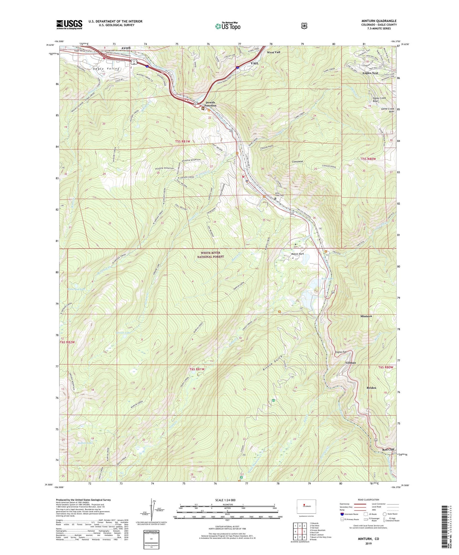
2022 topographic map quadrangle Minturn in the state of Colorado. Scale: 1:24000. Based on the newly updated USGS 7.5' US Topo map series, this map is in the following counties: Eagle. The map contains contour data, water features, and other items you are used to seeing on USGS maps, but also has updated roads and other features. This is the next generation of topographic maps. Printed on high-quality waterproof paper with UV fade-resistant inks.
Quads adjacent to this one:
West: Grouse Mountain
Northwest: Edwards
North: Vail West
Northeast: Vail East
East: Red Cliff
Southeast: Pando
South: Mount of the Holy Cross
Southwest: Mount Jackson
This map covers the same area as the classic USGS quad with code o39106e4.
Contains the following named places: Astor City, Belden, Ben Butler Mine, Bishop Gulch, Bolts Ditch, Bolts Lake, Bolts Lake Dam, Buffalo Lake, Cross Creek, Dowds Junction, Eagle County Sheriff's Office Minturn Substation, Eagle Mine, Eagle River Fire Protection District Eagle - Vail Station 6, Eagle River Fire Protection District Station 5 Minturn, Eagle Vail Golf Club, Eagles Eye, Eagles Nest, Eagle-Vail Census Designated Place, Fall Creek, Fleck Ditch, Game Creek, Game Creek Bowl, Gilman, Girard Creek, Gore Creek, Grouse Creek, Grouse Lake, Half Moon Campground, Half Moon Trailhead, Holy Cross Administrative Site, Homestake Creek, Homestake Creek Mine, Homestake Peak School, KSKE-AM (Vail), Line Shack, Lionshead, Little Spring Mine, Maloit Park, Martin Creek, Minturn, Minturn District Ranger Staton, Minturn Post Office, Minturn-Red Cliff Division, New Jersey Zinc Pit, Newhouse Tunnel, Notch Mountain Creek, Peterson Creek, Pine Marten Mine, Red Cliff District Mine, River View Cemetery, Rock Creek, Singing River Ranch, Stone Creek, Tigiwon Community House, Tigiwon Post Office, Tip Top Mine, Town of Minturn, Traer Creek, Turkey Creek, Two Elk Creek, Vail Junction Heliport, Vail Ski and Snowboard Academy, Vail Ski Area, Waterdog Lake, West Grouse Creek, Whiskey Creek


