MyTopo
Moffat North Colorado US Topo Map
Couldn't load pickup availability
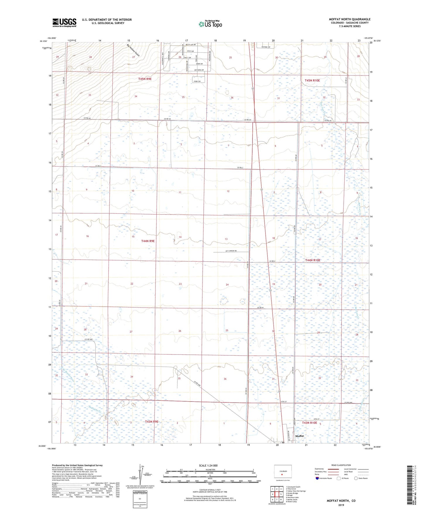
2022 topographic map quadrangle Moffat North in the state of Colorado. Scale: 1:24000. Based on the newly updated USGS 7.5' US Topo map series, this map is in the following counties: Saguache. The map contains contour data, water features, and other items you are used to seeing on USGS maps, but also has updated roads and other features. This is the next generation of topographic maps. Printed on high-quality waterproof paper with UV fade-resistant inks.
Quads adjacent to this one:
West: Hickey Bridge
Northwest: Graveyard Gulch
North: Villa Grove
Northeast: Valley View Hot Springs
East: Mirage
Southeast: Sheds Camp
South: Moffat South
Southwest: Harrence Lake
This map covers the same area as the classic USGS quad with code o38105a8.
Contains the following named places: Big Hollow Gulch, Moffat Post Office, North Branch Saguache Creek, Rito Alto Creek, Town of Moffat