MyTopo
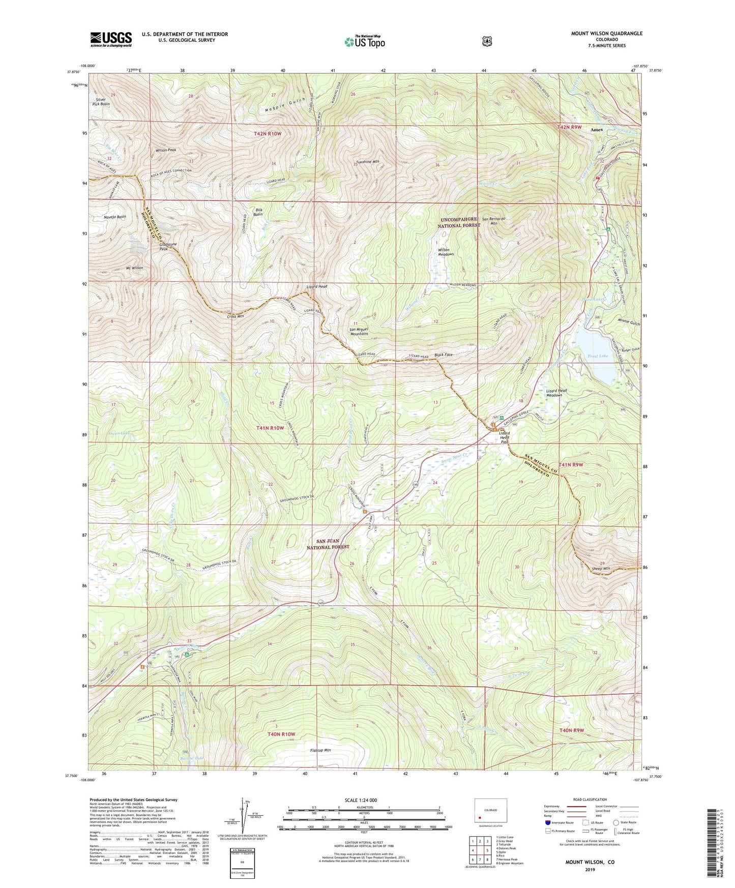
Mount Wilson Colorado US Topo Map
Couldn't load pickup availability
Also explore the Mount Wilson Forest Service Topo of this same quad for updated USFS data
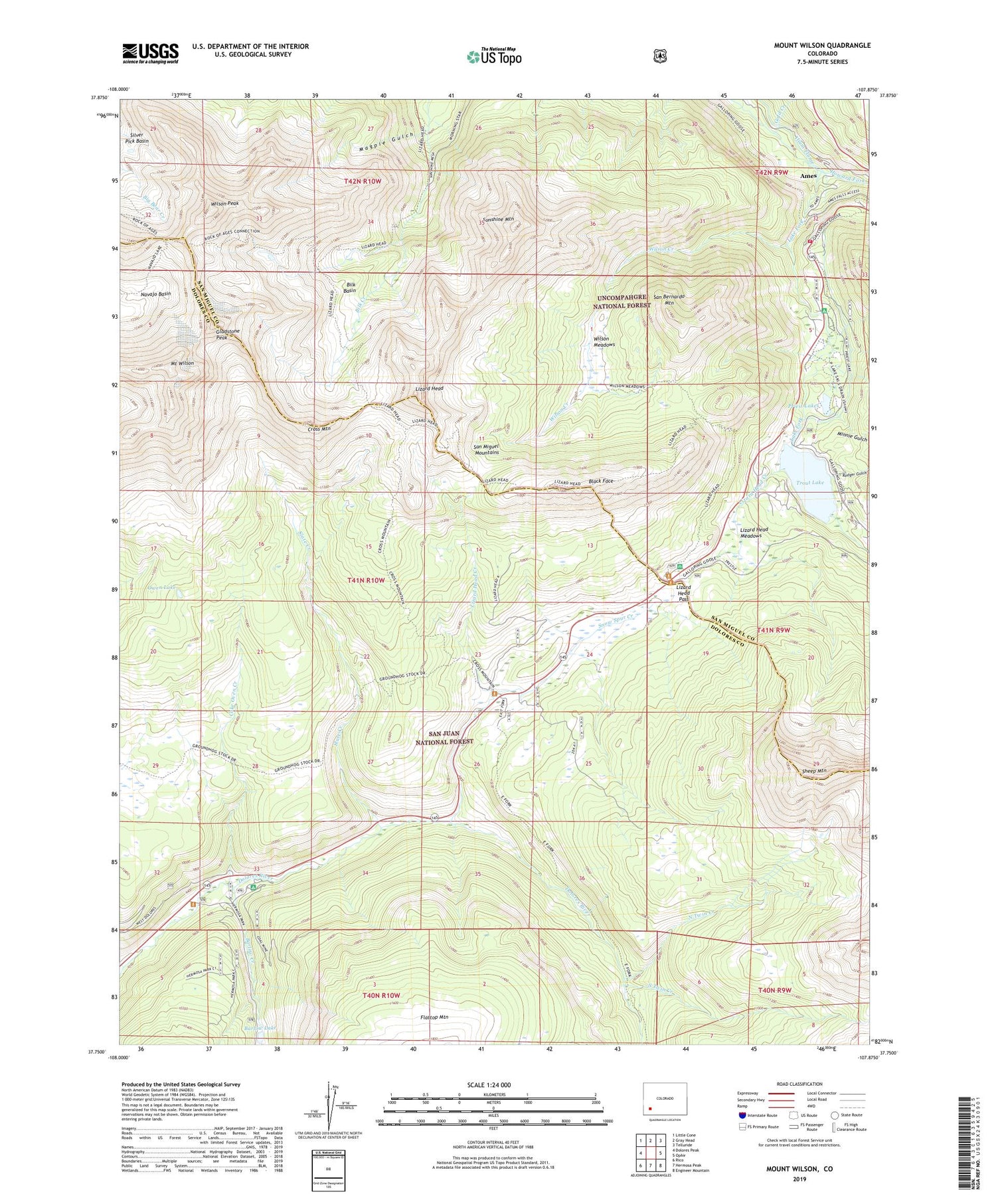
2022 topographic map quadrangle Mount Wilson in the state of Colorado. Scale: 1:24000. Based on the newly updated USGS 7.5' US Topo map series, this map is in the following counties: Dolores, San Miguel. The map contains contour data, water features, and other items you are used to seeing on USGS maps, but also has updated roads and other features. This is the next generation of topographic maps. Printed on high-quality waterproof paper with UV fade-resistant inks.
Quads adjacent to this one:
West: Dolores Peak
Northwest: Little Cone
North: Gray Head
Northeast: Telluride
East: Ophir
Southeast: Engineer Mountain
South: Hermosa Peak
Southwest: Rico
This map covers the same area as the classic USGS quad with code o37107g8.
Contains the following named places: Ames, Atlas Mine, Barlow Creek, Barlow Lake, Bilk Basin, Black Face, Butterfly Mine, Calamine Mine, Cayton Campground, Coal Creek, Coke Oven, Coke Oven Creek, Cross Mountain, Cross Mountain Trail, East Fork Trail, Garibaldi Mine, Gladstone Peak, Gold Creek, Howard Fork, Lake Fork, Lizard Head, Lizard Head Creek, Lizard Head Meadows, Lizard Head Pass, Lizard Head Trail, Lizard Head Trailhead, Magpie Gulch, Matterhorn Campground, Matterhorn Drifts, Matterhorn Work Center, Minnie Gulch, Mount Wilson, Moyer and Tucson Mine, North Twin Creek, Old Butterfly Mine, Ophir Loop School, Owen Lake, Priest Lakes, Rock of Ages Mine, Rodger Gulch, San Bernardo Mine, San Bernardo Mountain, Sheep Mountain, Sheep Trail, Silver Eagle Mine, Silver Hat Mine, Silver Pick Mine, Slate Creek, Snow Spur Creek, South Twin Creek, Special Session Mine, Sunshine Mountain, Synopsis Mine, Trout Lake, Trout Lake Dam, Wilson Creek, Wilson Meadows, Wilson Peak, ZIP Code: 81426


