MyTopo
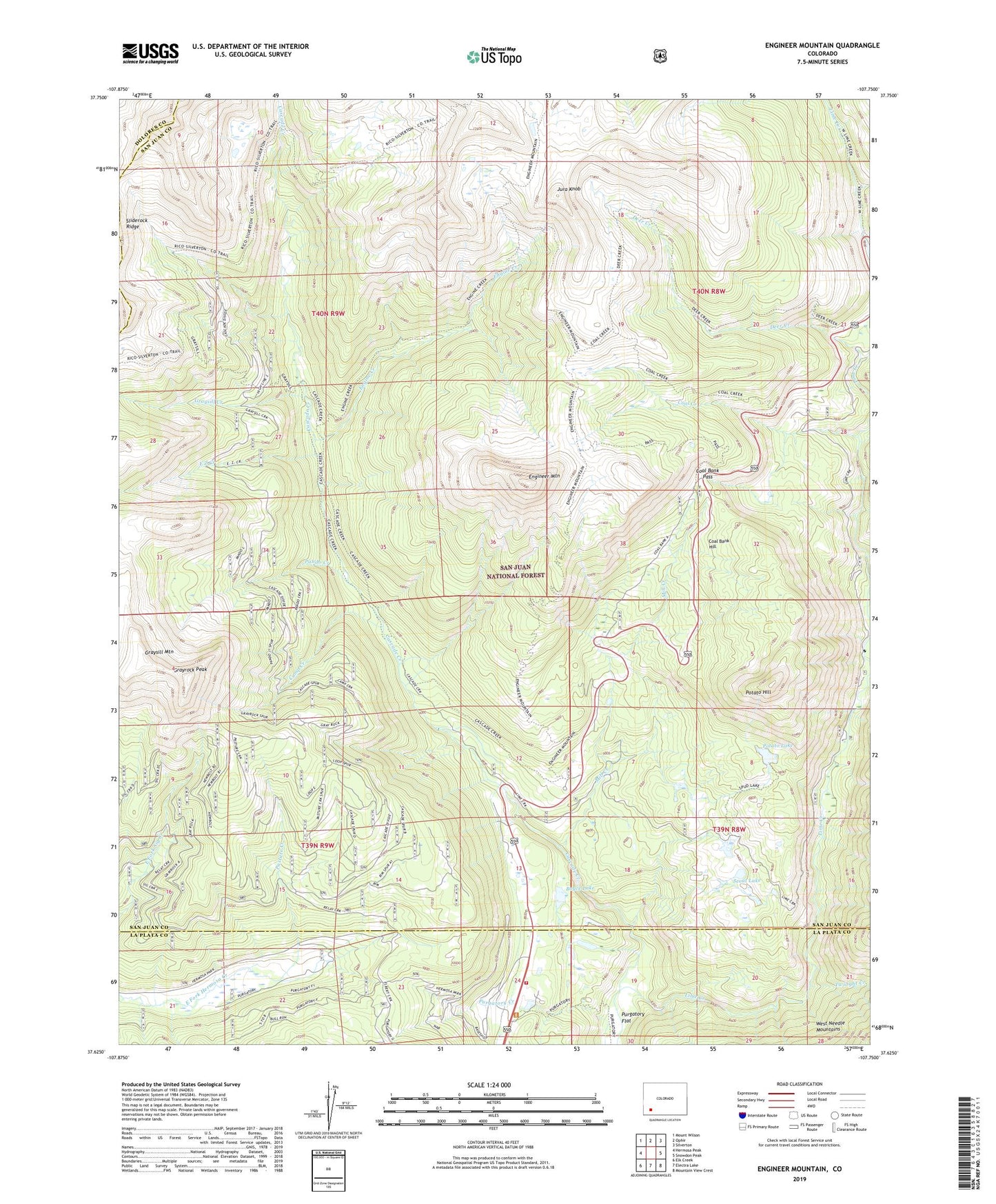
Engineer Mountain Colorado US Topo Map
Couldn't load pickup availability
Also explore the Engineer Mountain Forest Service Topo of this same quad for updated USFS data
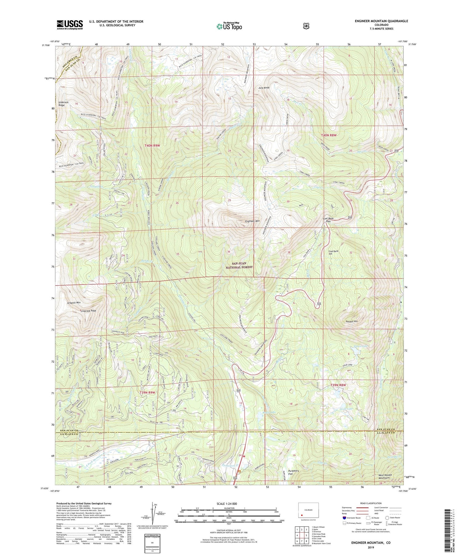
2022 topographic map quadrangle Engineer Mountain in the state of Colorado. Scale: 1:24000. Based on the newly updated USGS 7.5' US Topo map series, this map is in the following counties: San Juan, La Plata, Dolores. The map contains contour data, water features, and other items you are used to seeing on USGS maps, but also has updated roads and other features. This is the next generation of topographic maps. Printed on high-quality waterproof paper with UV fade-resistant inks.
Quads adjacent to this one:
West: Hermosa Peak
Northwest: Mount Wilson
North: Ophir
Northeast: Silverton
East: Snowdon Peak
Southeast: Mountain View Crest
South: Electra Lake
Southwest: Elk Creek
This map covers the same area as the classic USGS quad with code o37107f7.
Contains the following named places: Boyce Lake, Camp Creek, Cascade Summer Home Group, Coal Bank Hill, Coal Bank Pass, Coal Bank Pass Heliport, Coal Creek, Columbine Ranger Station, Crater Creek, Deer Creek, Deer Creek Observation Point, Durango Fire and Rescue Authority - Station 16, E Z Creek, Engine Creek, Engineer Mountain, Engineer Mountain Forest Service Station, Grayrock Peak, Graysill Creek, Graysill Mountain, Harris Ranch, Highline Trail, Jura Knob, KDFM-FM (Silverton), Lime Creek, Lime Creek Campground, Mill Creek, Mill Creek Lodge, North Lime Creek, Pando Creek, Pasture Creek, Potato Hill, Potato Lake, Purgatory Campground, Purgatory Flat, Purgatory Number One Heliport, Sarah G Mine, Scout Lake, Sliderock Ridge, Three Lakes Creek, Twilight Creek


