MyTopo
Rough Gulch Colorado US Topo Map
Couldn't load pickup availability
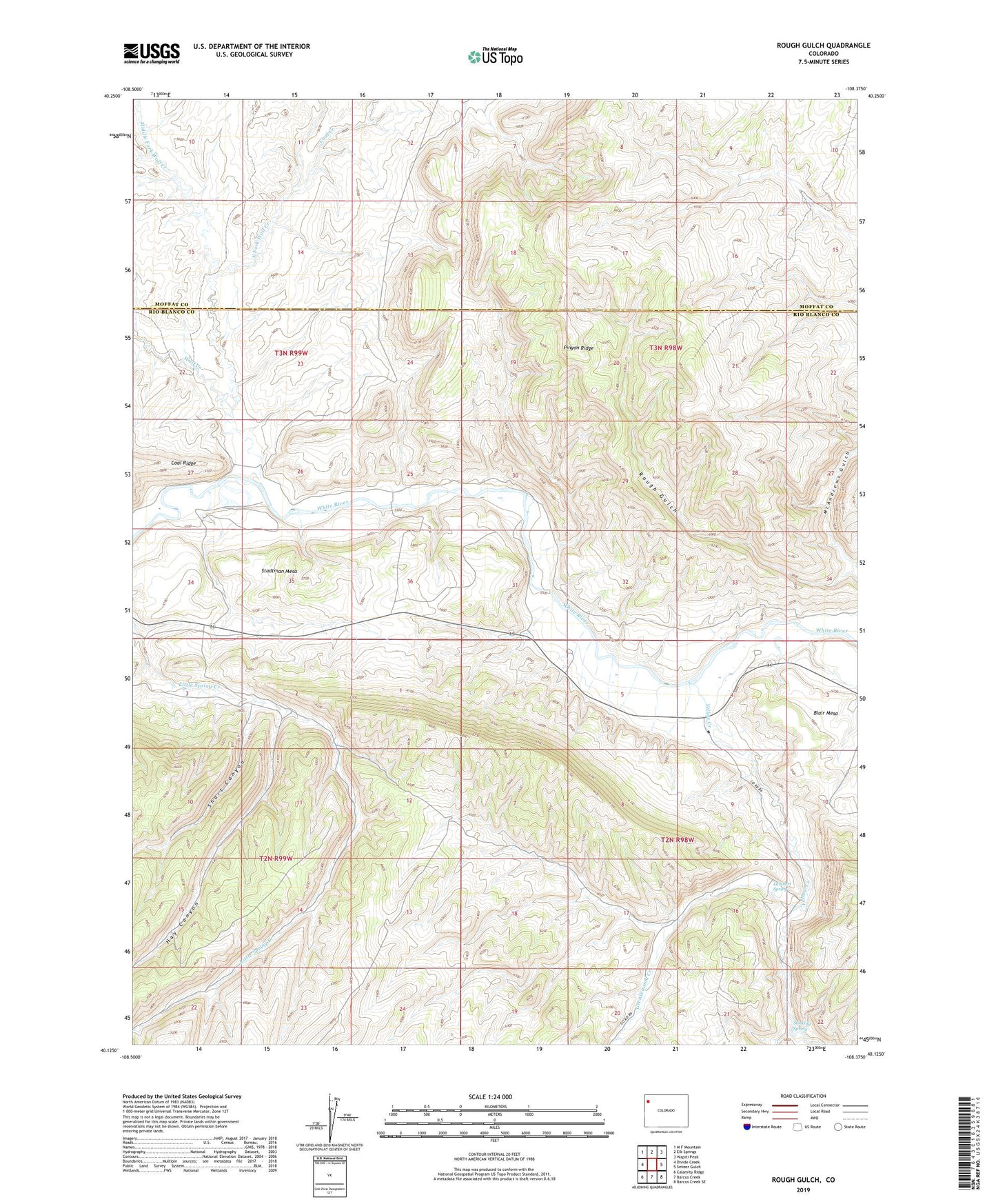
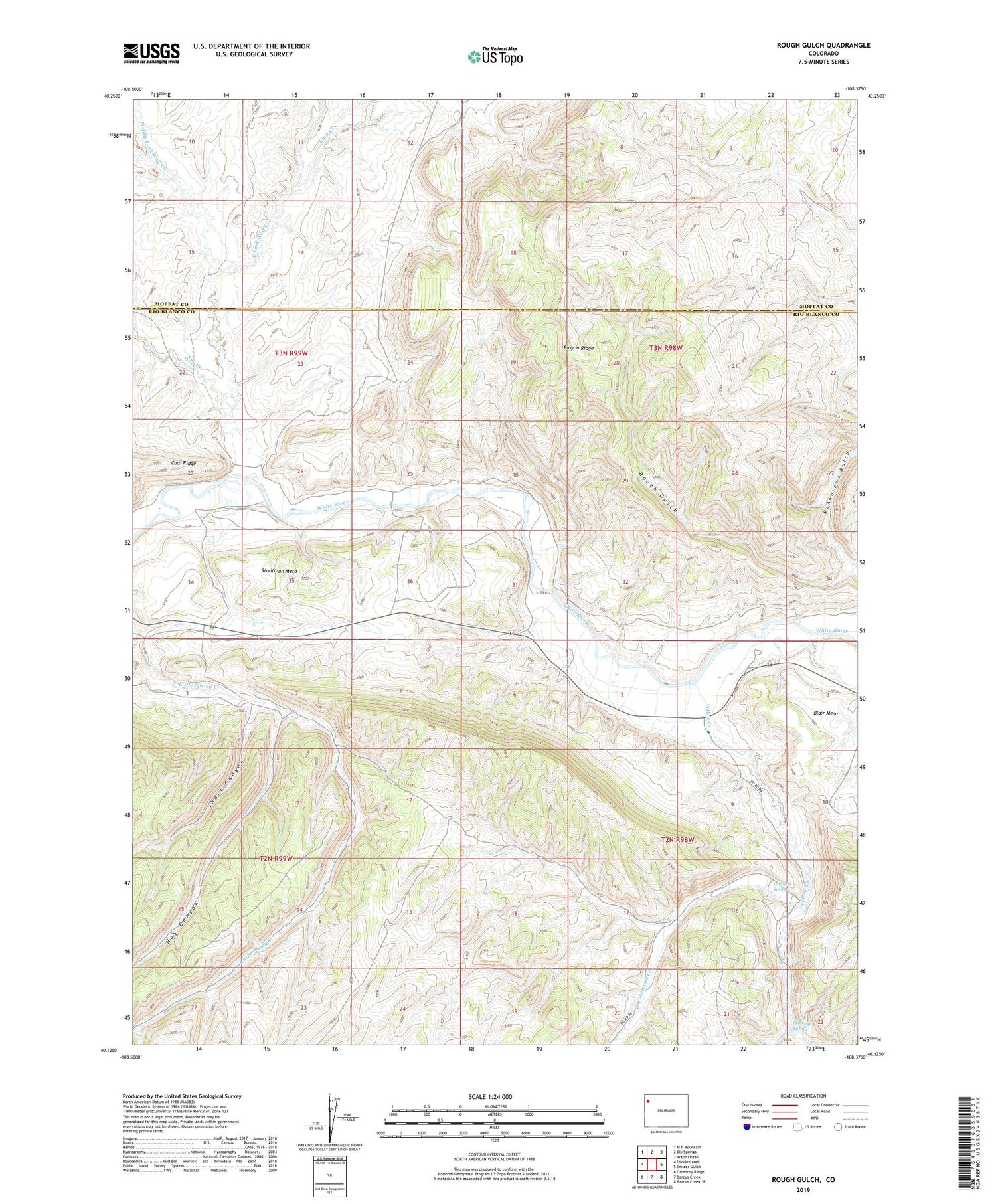
2022 topographic map quadrangle Rough Gulch in the state of Colorado. Scale: 1:24000. Based on the newly updated USGS 7.5' US Topo map series, this map is in the following counties: Rio Blanco, Moffat. The map contains contour data, water features, and other items you are used to seeing on USGS maps, but also has updated roads and other features. This is the next generation of topographic maps. Printed on high-quality waterproof paper with UV fade-resistant inks.
Quads adjacent to this one:
West: Divide Creek
Northwest: M F Mountain
North: Elk Springs
Northeast: Wapiti Peak
East: Smizer Gulch
Southeast: Barcus Creek SE
South: Barcus Creek
Southwest: Calamity Ridge
This map covers the same area as the classic USGS quad with code o40108b4.
Contains the following named places: Coal Creek, East Fork Wolf Creek, Greasewood Creek, Hay Canyon, Lambert Spring, Middle Fork Wolf Creek, Monument Gulch, Rough Gulch, Short Canyon, Stadtman Mesa, Stinking Spring, Trail Gulch, Wolf Creek, Yellow Creek