MyTopo
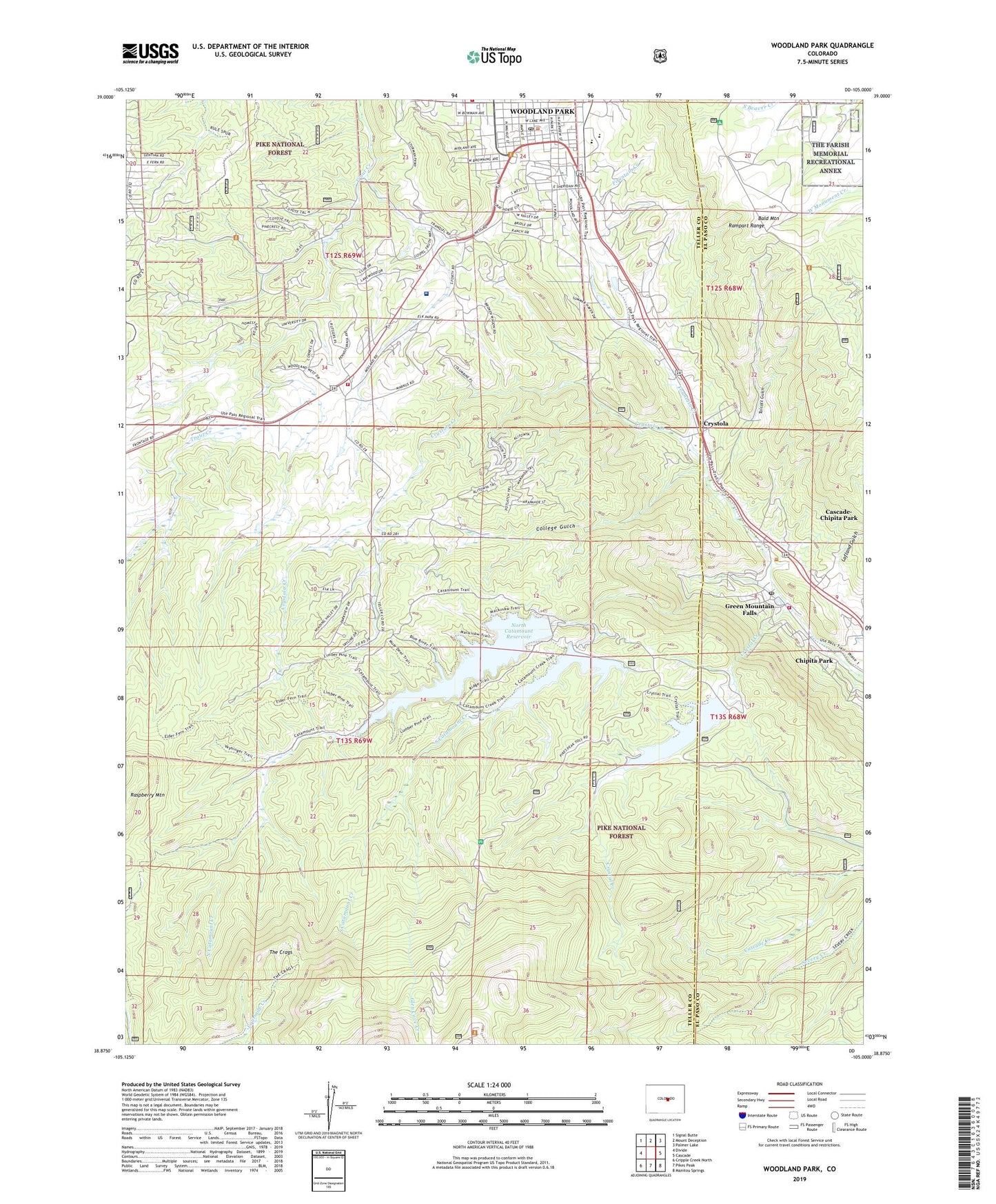
Woodland Park Colorado US Topo Map
Couldn't load pickup availability
Also explore the Woodland Park Forest Service Topo of this same quad for updated USFS data
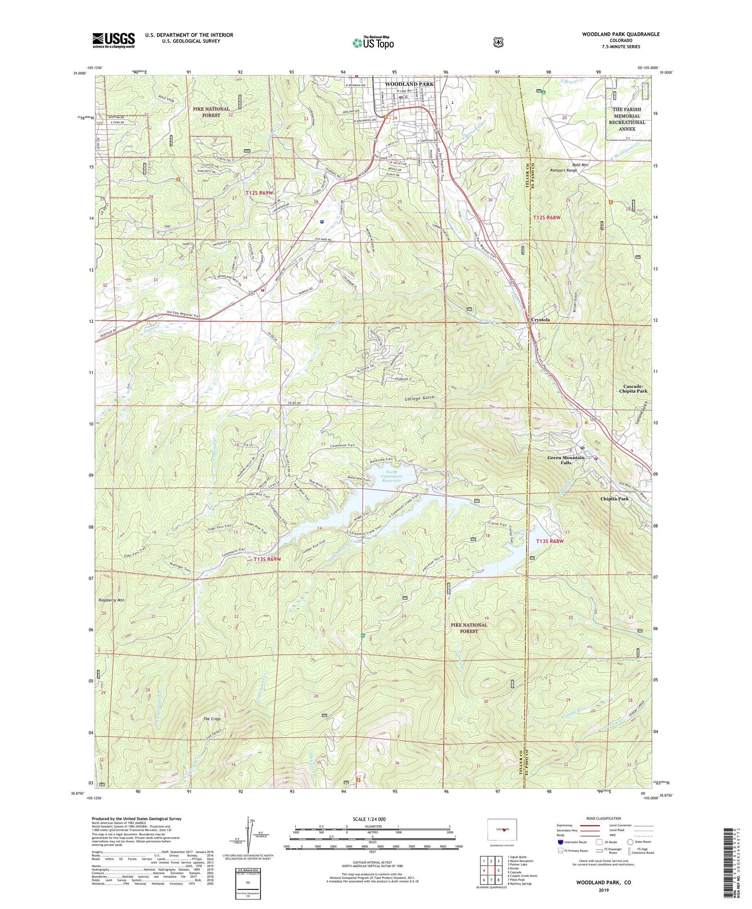
2022 topographic map quadrangle Woodland Park in the state of Colorado. Scale: 1:24000. Based on the newly updated USGS 7.5' US Topo map series, this map is in the following counties: Teller, El Paso. The map contains contour data, water features, and other items you are used to seeing on USGS maps, but also has updated roads and other features. This is the next generation of topographic maps. Printed on high-quality waterproof paper with UV fade-resistant inks.
Quads adjacent to this one:
West: Divide
Northwest: Signal Butte
North: Mount Deception
Northeast: Palmer Lake
East: Cascade
Southeast: Manitou Springs
South: Pikes Peak
Southwest: Cripple Creek North
This map covers the same area as the classic USGS quad with code o38105h1.
Contains the following named places: Aspen Valley Ranch, Avengers Quarry, Bald Mountain, Blue Springs Creek, Cascade-Chipita Park Census Designated Place, Chipita Park, City of Woodland Park, College Gulch, Crystal Creek, Crystal Creek Dam, Crystal Creek Reservoir, Crystola, Crystola Creek, Farish Memorial Recreation Area, Fountain Creek Land Utilization Project Co. Two, Fountain Creek Utilization Project Co. Two, Gateway Elementary School, Glen Cove, Glen Cove Creek, Glen Cove Picnic Area, Green Mountain Falls, Green Mountain Falls / Chipita Park Fire Department Station 1, Green Mountain Falls Post Office, Halfway Picnic Area, Hidden Valley Ranch, Langstaff-Brown Emergency Center Heliport, Lofland Gulch, Navajo Mine, North Catamount Creek, North Catamount Dam, North Catamount Reservoir, Northeast Teller County Fire Protection District Station 3, Paradise Ranch, Penrose Mountain Urgent Care Woodland Park, Pikes Peak Regional Hospital, Pikes Peak Ski Area, Raspberry Mountain, Round Top Mine, Silver Springs Ranch, Silver Spur Ranch, South Catamount Creek, South Catamount Dam, South Catamount Reservoir, Talcott Gulch, The Crags, Thunderbird Camp, Town of Green Mountain Falls, Wheeler Ditch 1, Woodland Park, Woodland Park High School, Woodland Park Post Office, ZIP Code: 80819


