MyTopo
Branford OE S Connecticut US Topo Map
Couldn't load pickup availability
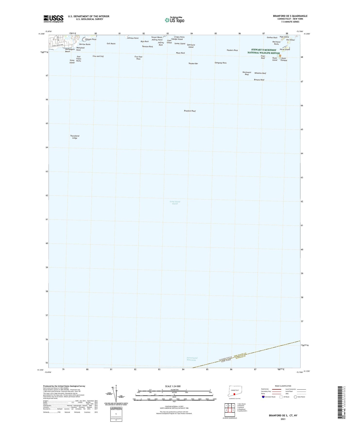
2024 topographic map quadrangle Branford OE S in the state of Connecticut. Scale: 1:24000. Based on the newly updated USGS 7.5' US Topo map series, this map is in the following counties: New Haven, Suffolk. The map contains contour data, water features, and other items you are used to seeing on USGS maps, but also has updated roads and other features. This is the next generation of topographic maps. Printed on high-quality waterproof paper with UV fade-resistant inks.
Quads adjacent to this one:
West: Woodmont
Northwest: New Haven
North: Branford
Northeast: Guilford
East: Guilford OE S
Contains the following named places: Blyn Rock, Branford Reef, Browns Reef, Clam Island, Cow and Calf, Darrow Rocks, East Indies Rocks, East Reef, Farm River, Five Foot Rock, Gangway Rock, Goshen Rock, Gull Rocks, High Island, Hookers Rock, Horse Island, Inner Reef, Jeffrey Point, Jeffrey Rock, Johnson Point, Kidd Harbor, Linden Point, Mansfield Point, Momauguin Beach, Momauguin School, Money Island, Moon Rock, Northwest Reef, Outer Island, Outer Thimble, Pot Island, Red Point Rocks, Sedge Island, Spectacle Island, Squaw Rocks, Stony Island, Sumac Island, Sunset Beach, Taunton Rock, Thimble Island Harbor, Totoket Bar, Townshend Ledge, Umbrella Island, Wheaton Reef


