MyTopo
Guilford OE S Connecticut US Topo Map
Couldn't load pickup availability
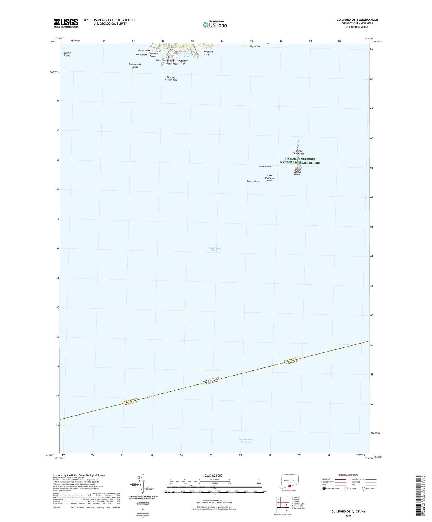
2024 topographic map quadrangle Guilford OE S in the state of Connecticut. Scale: 1:24000. Based on the newly updated USGS 7.5' US Topo map series, this map is in the following counties: New Haven, Suffolk. The map contains contour data, water features, and other items you are used to seeing on USGS maps, but also has updated roads and other features. This is the next generation of topographic maps. Printed on high-quality waterproof paper with UV fade-resistant inks.
Quads adjacent to this one:
West: Branford OE S
Northwest: Branford
North: Guilford
Northeast: Clinton
East: Clinton OE S
Southeast: Mattituck Hills
Contains the following named places: Big Indian, Bloody Cove, Charles Reef, Chimney Corner, Chimney Corner Reef, East Stooping Bush Island, Falkner Island, Falkner Island Light, Falkner Island Reef, Goose Island, Goose Rocks, Goose Rocks Shoals, Hatch Rock, Jefferson Rock, Johnson Island, Marine Island, North Rocks, Old Cobble Rocks, Sachem Head, Sachem Head Harbor, Three Quarters Rock, Uncas Point, Vineyard Point