MyTopo
Cape Henlopen Delaware US Topo Map
Couldn't load pickup availability
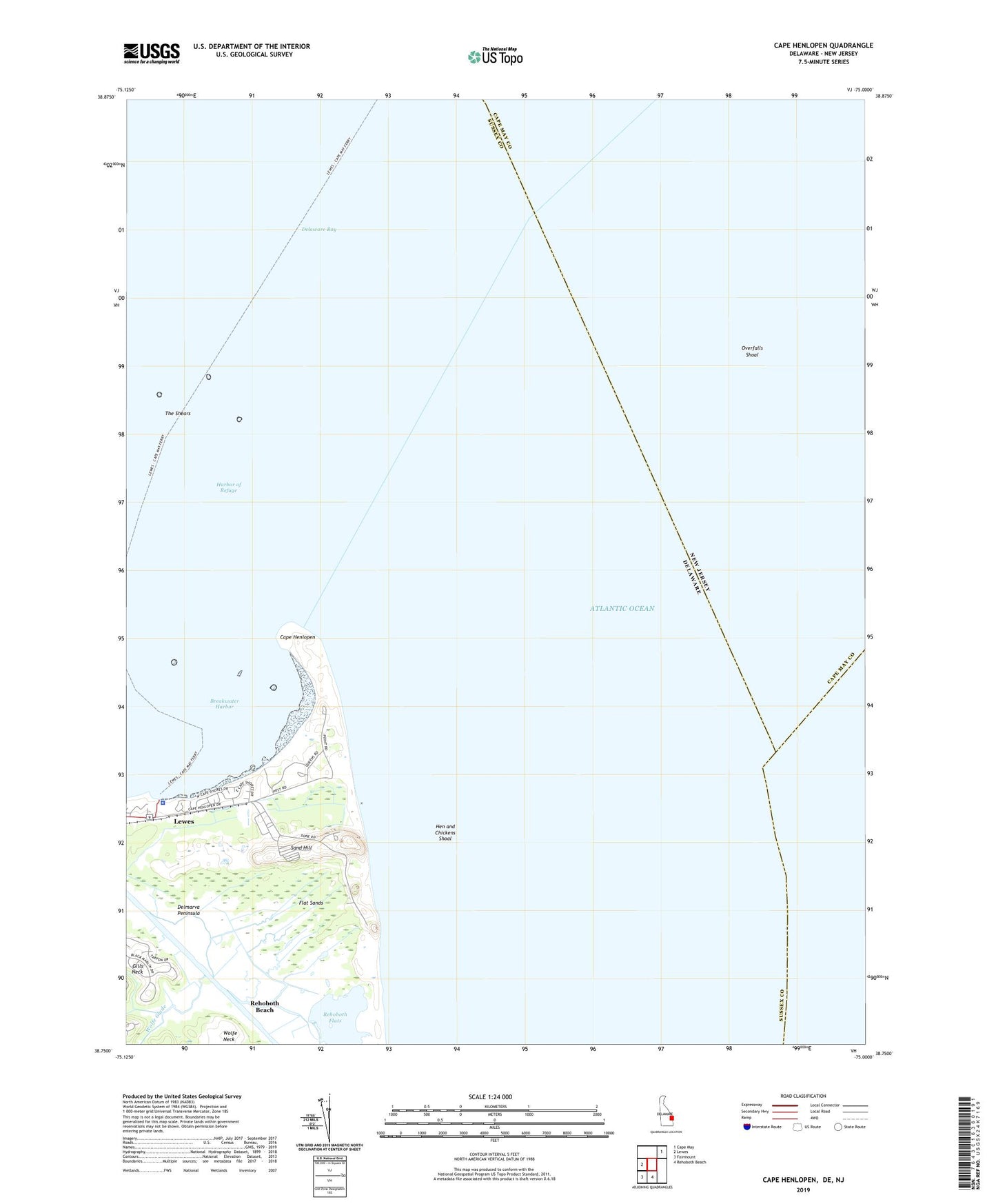
2023 topographic map quadrangle Cape Henlopen in the state of Delaware. Scale: 1:24000. Based on the newly updated USGS 7.5' US Topo map series, this map is in the following counties: Sussex, Cape May. The map contains contour data, water features, and other items you are used to seeing on USGS maps, but also has updated roads and other features. This is the next generation of topographic maps. Printed on high-quality waterproof paper with UV fade-resistant inks.
Quads adjacent to this one:
West: Lewes
Northeast: Cape May
South: Rehoboth Beach
Southwest: Fairmount
This map covers the same area as the classic USGS quad with code o38075g1.
Contains the following named places: Barcroft Airport, Breakwater Harbor, Cape Henlopen, Cape Henlopen State Park, Delaware River and Bay Authority Police Station, Flat Sands, Fort Miles, Gills Neck, Gordon Pond Wildlife Area, Harbor of Refuge, Hen and Chickens Shoal, Lewes and Rehoboth Canal, Lewes-Cape May Ferry, Rehoboth Flats, Sand Hill, Tower Number Eight, Tower Number Five, Tower Number Four, Tower Number Four A, Tower Number Seven, University of Delaware College of Marine Studies, Wolfe Glade, Wolfe Neck