MyTopo
Rehoboth Beach Delaware US Topo Map
Couldn't load pickup availability
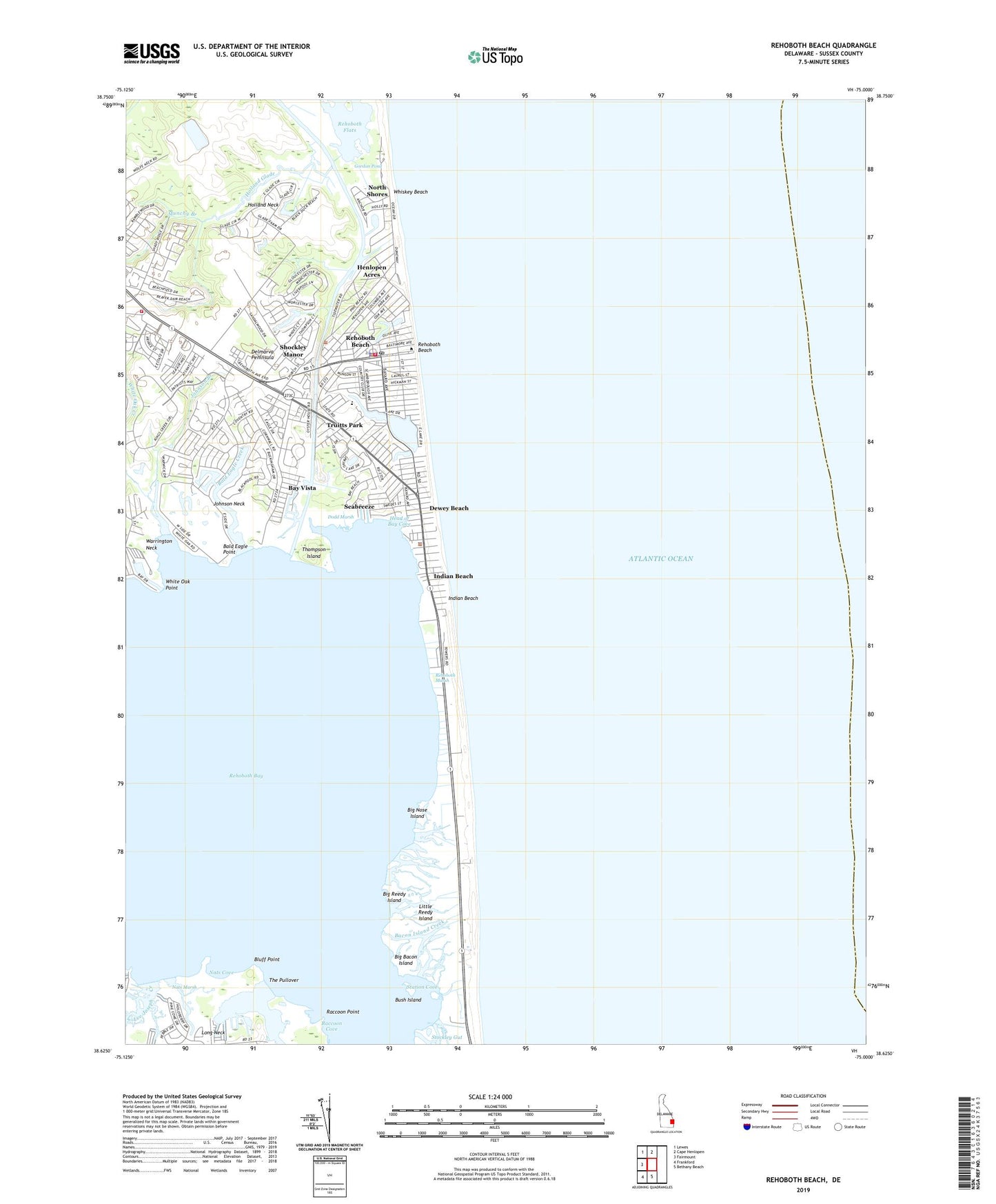
2023 topographic map quadrangle Rehoboth Beach in the state of Delaware. Scale: 1:24000. Based on the newly updated USGS 7.5' US Topo map series, this map is in the following counties: Sussex. The map contains contour data, water features, and other items you are used to seeing on USGS maps, but also has updated roads and other features. This is the next generation of topographic maps. Printed on high-quality waterproof paper with UV fade-resistant inks.
Quads adjacent to this one:
West: Fairmount
Northwest: Lewes
North: Cape Henlopen
South: Bethany Beach
Southwest: Frankford
This map covers the same area as the classic USGS quad with code o38075f1.
Contains the following named places: All Saints Church, Ames Shopping Center, Anna Hazzard Museum, Anne Acres, Bacon Island Creek, Bald Eagle Creek, Bald Eagle Point, Bald Eagle Village, Bay Harbor, Bay Vista, Beachfield, Beaverdam Branch, Big Bacon Island, Big Nose Island, Big Piney Island, Big Reedy Island, Bluff Point, Bush Island, Camelot Mobile Home Park, City of Rehoboth Beach, Deauville Beach, Delaware Seashore State Park, Dewey Beach, Dewey Beach Police Department, Dewey Beach Post Office, Dewey Beach Town Hall, Dodd Marsh, Dodds Addition, Epworth United Methodist Church, Fieldwood Addition, First Church of Christ, Fishermans Park Mobile Home Park, Gordon Pond, Head of Bay Cove, Henlopen Acres, Henlopen Acres Yacht Basin, Henlopen Keys, Holland Glade, Holland Neck, Indian Beach, Indian Landing North Mobile Home Park, Johnson Branch, Johnson Neck, Killens Addition, Kings Creek Country Club, Lake Comegys, Lake Gerar, Lee Joseph Creek, Lewes Division, Lingo Landing, Little Bacon Island, Little Cedar Island, Little Reedy Island, Lutheran Church of Our Savior, Lynch Thicket, Marketplace Shopping Center, Massey Ditch, Massey Landing, Munchy Branch, Nats Cove, Nats Marsh, North Shores, Phil Mar Estates, Piney Glade, Raccoon Cove, Raccoon Point, Rehoboth Bay, Rehoboth Beach, Rehoboth Beach City Hall, Rehoboth Beach Elementary School, Rehoboth Beach Police Department, Rehoboth Beach Post Office, Rehoboth Beach Public Library, Rehoboth Beach Volunteer Fire Company Station 1, Rehoboth Beach Volunteer Fire Company Station 2, Rehoboth Beach Wastewater Treatment Plant, Rehoboth Beach Yacht and Country Club, Rehoboth Junior High School, Rehoboth Manor, Rehoboth Marsh, Rehoboth Station, Religious Society of Friends, Roman T Pond, Saint Edmonds School, Sea Air Mobile Home Park, Seabreeze, Shady Grove, Shady Ridge, Shockley Heights, Shockley Manor, Shoppes of Camelot Shopping Center, Shrine of Saint Jude Catholic Church, Silver Lake, Silver Lake Manor, Silver Lake Shores, Silver View Farm, Spring Lake, Station Cove, Stockley Creek, The Glade, The Pullover, Thompson Island, Three Seasons Mobile Home Park, Town of Dewey Beach, Town of Henlopen Acres, Tru Vale Acres, Truitts Park, Washington Heights, West Rehoboth, West Rehoboth School, Westminster Presbyterian Church, Whiskey Beach, White Oak Creek, White Oak Point, ZIP Code: 19971


