
MyTopo
Overstreet Florida US Topo Map
Couldn't load pickup availability
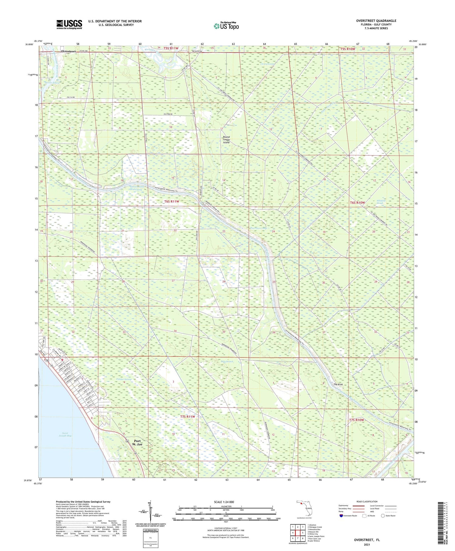
2025 topographic map quadrangle Overstreet in the state of Florida. Scale: 1:24000. Based on the newly updated USGS 7.5' US Topo map series, this map is in the following counties: Gulf. The map contains contour data, water features, and other items you are used to seeing on USGS maps, but also has updated roads and other features. This is the next generation of topographic maps. Printed on high-quality waterproof paper with UV fade-resistant inks.
Quads adjacent to this one:
West: Beacon Hill
Northwest: Allanton
North: Wetappo Creek
Northeast: Wewahitchka
East: White City
Southeast: Lake Wimico
South: Port Saint Joe
Southwest: Saint Joseph Point
This map covers the same area as the classic USGS quad with code o29085h3.
Contains the following named places: Cerser Swamp, Cypress Creek, Devils Elbow, Gulf County, Gulf County Beaches Fire Department, Harrison Lake, Joe Lamb Branch, Long Branch, Luke Ford Creek, Overstreet, Overstreet Fire Tower, Panther Swamp, Ringjaw Camp, Roberts Camp, Round Timber Island, Saint Joe Beach, Sharp Hardy Homestead, The Kink


