MyTopo
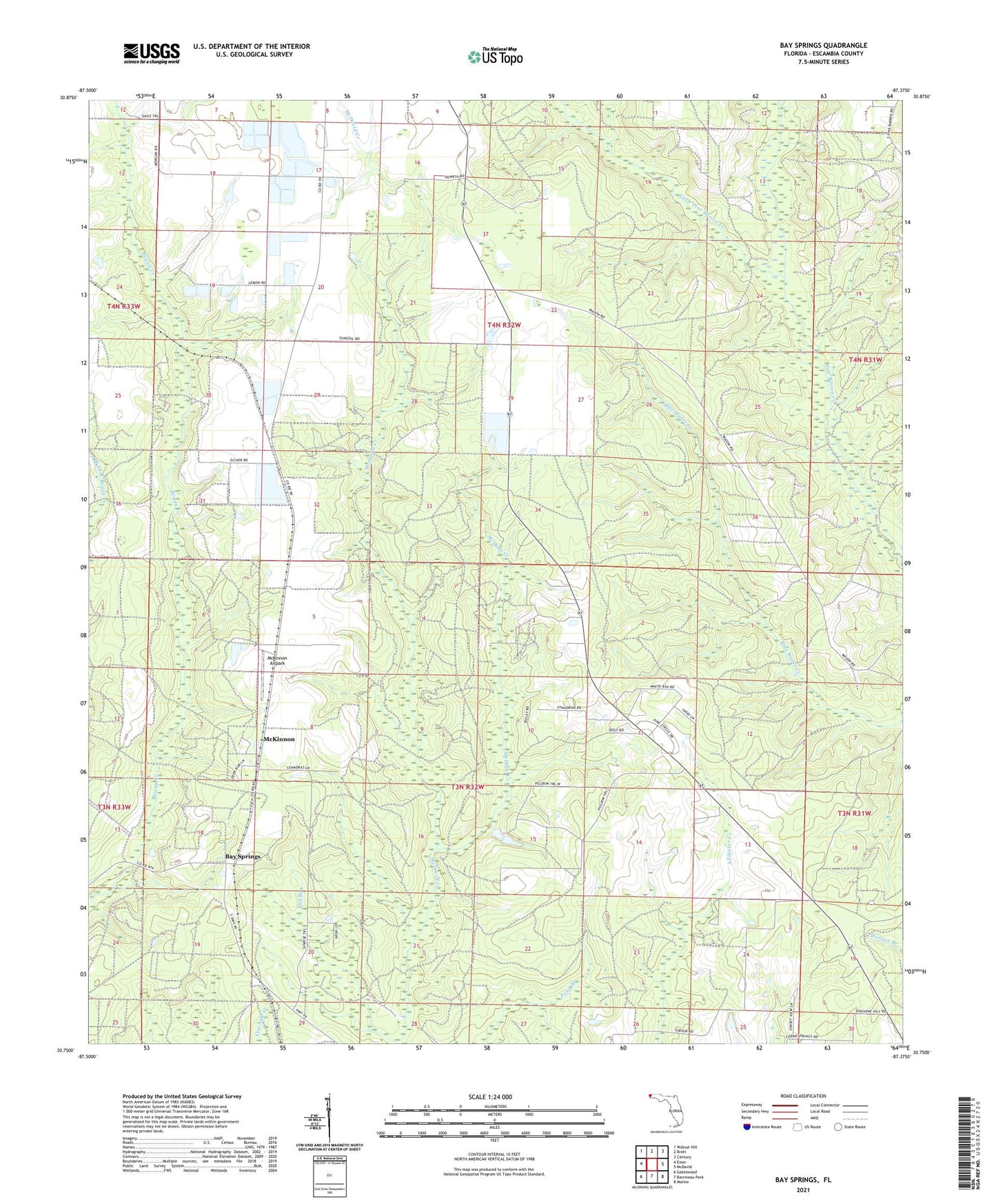
Bay Springs Florida US Topo Map
Couldn't load pickup availability
2024 topographic map quadrangle Bay Springs in the state of Florida. Scale: 1:24000. Based on the newly updated USGS 7.5' US Topo map series, this map is in the following counties: Escambia. The map contains contour data, water features, and other items you are used to seeing on USGS maps, but also has updated roads and other features. This is the next generation of topographic maps. Printed on high-quality waterproof paper with UV fade-resistant inks.
Quads adjacent to this one:
West: Enon
Northwest: Walnut Hill
North: Bratt
Northeast: Century
East: McDavid
Southeast: Molino
South: Barrineau Park
Southwest: Gateswood
This map covers the same area as the classic USGS quad with code o30087g4.
Contains the following named places: Bay Springs, Champion International State Wildlife Management Area, Little Pine Barren Creek, McDade Creek, McKinnon, McKinnon Airpark, Northwest Escambia Division, Turner Stark Grant, ZIP Code: 32568