MyTopo
Bostwick Florida US Topo Map
Couldn't load pickup availability
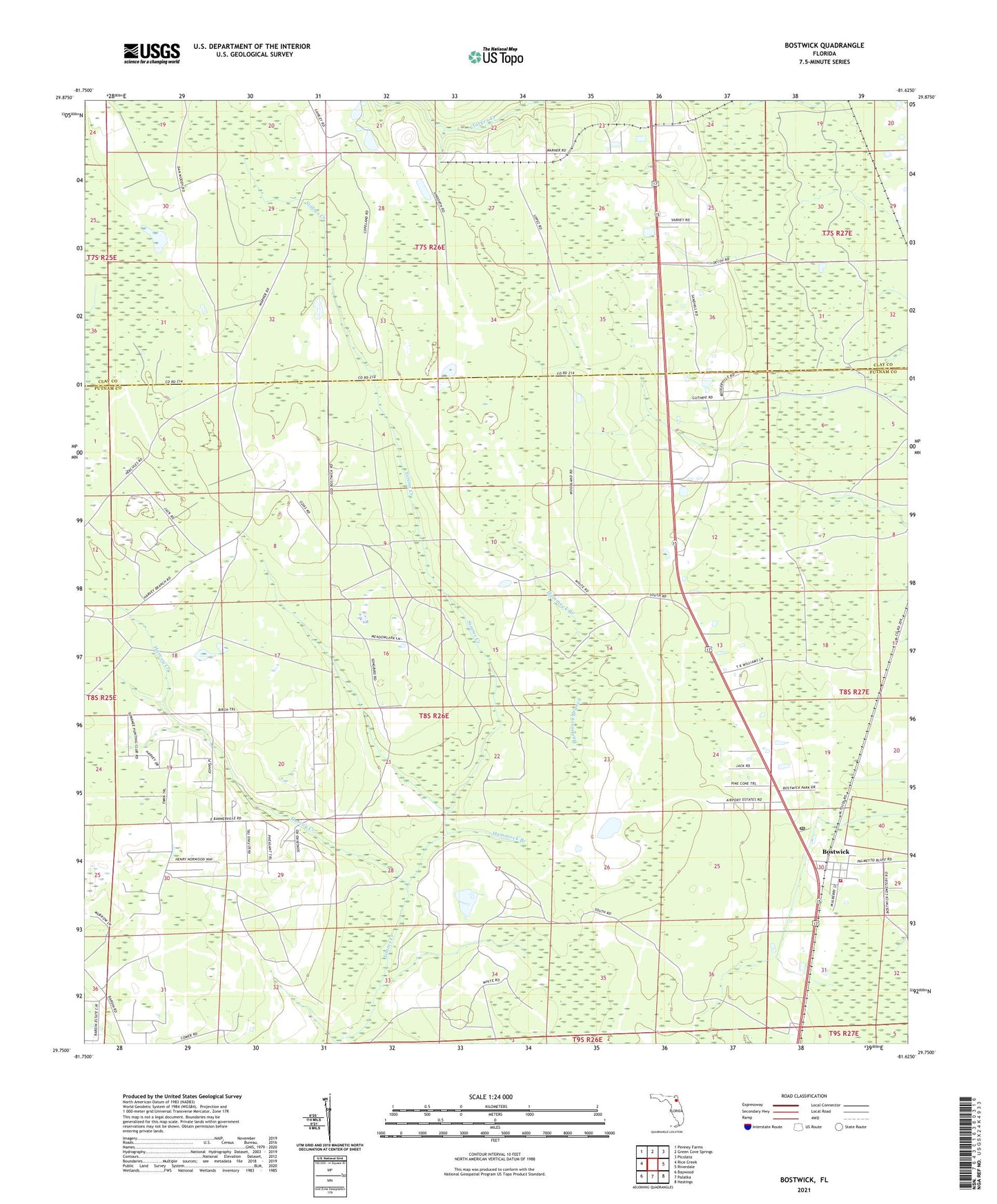
2024 topographic map quadrangle Bostwick in the state of Florida. Scale: 1:24000. Based on the newly updated USGS 7.5' US Topo map series, this map is in the following counties: Putnam, Clay. The map contains contour data, water features, and other items you are used to seeing on USGS maps, but also has updated roads and other features. This is the next generation of topographic maps. Printed on high-quality waterproof paper with UV fade-resistant inks.
Quads adjacent to this one:
West: Rice Creek
Northwest: Penney Farms
North: Green Cove Springs
Northeast: Picolata
East: Riverdale
Southeast: Hastings
South: Palatka
Southwest: Baywood
This map covers the same area as the classic USGS quad with code o29081g6.
Contains the following named places: Bostwick, Bostwick Baptist Church, Bostwick Post Office, Bostwick Volunteer Fire Department, Decoy Church, Hammock Branch, Hancock, Harvey Creek, John Middleton Grant, Sun Garden, Sungarden Lookout Tower