MyTopo
Chattahoochee Florida US Topo Map
Couldn't load pickup availability
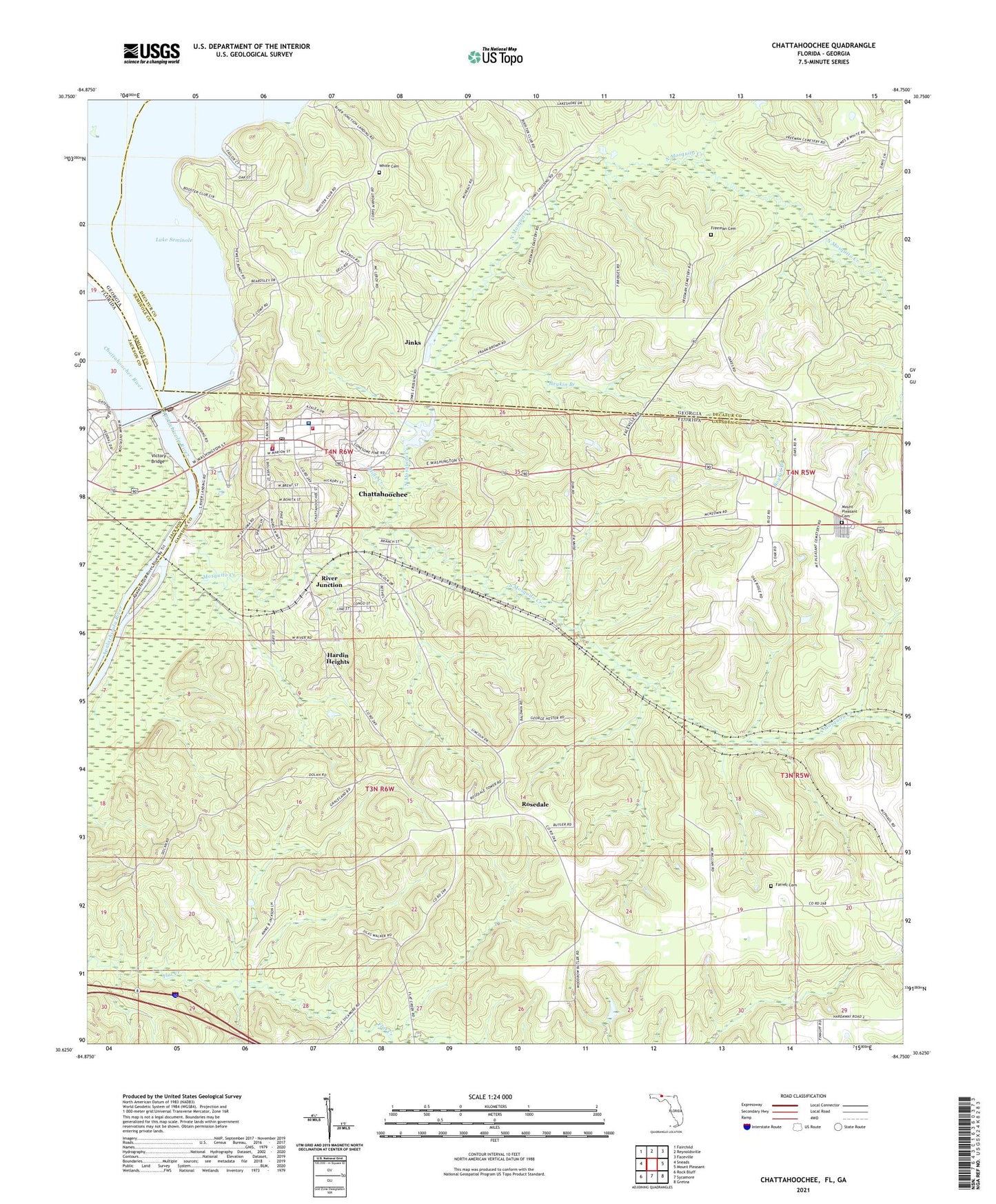
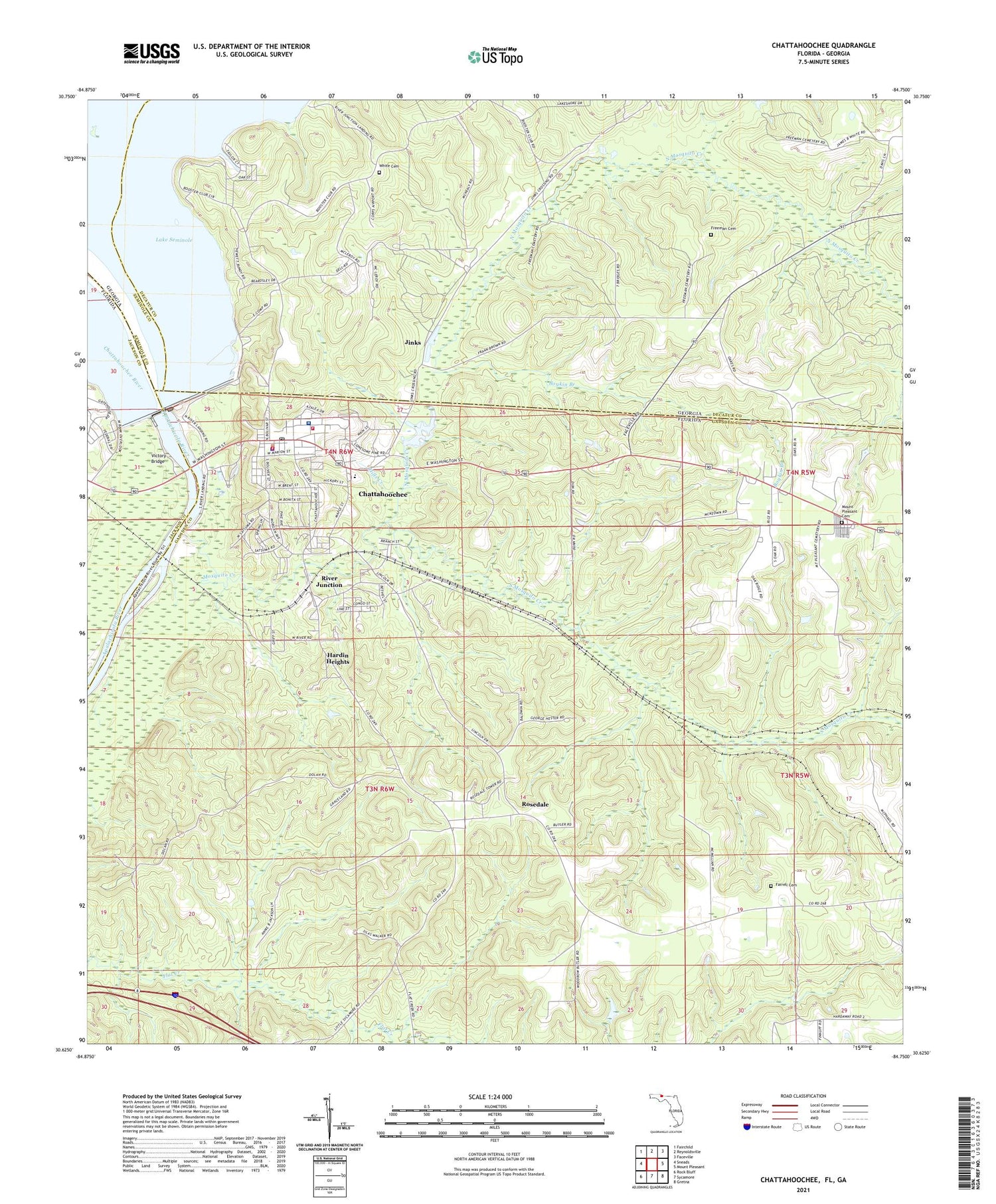
2024 topographic map quadrangle Chattahoochee in the states of Florida, Georgia. Scale: 1:24000. Based on the newly updated USGS 7.5' US Topo map series, this map is in the following counties: Gadsden, Decatur, Jackson, Seminole. The map contains contour data, water features, and other items you are used to seeing on USGS maps, but also has updated roads and other features. This is the next generation of topographic maps. Printed on high-quality waterproof paper with UV fade-resistant inks.
Quads adjacent to this one:
West: Sneads
Northwest: Fairchild
North: Reynoldsville
Northeast: Faceville
East: Mount Pleasant
Southeast: Gretna
South: Sycamore
Southwest: Rock Bluff
Contains the following named places: Boykin Branch, Chattahoochee, Chattahoochee Division, Chattahoochee Elementary School, Chattahoochee Fire Department, Chattahoochee High School, Chattahoochee Landing, Chattahoochee Police Department, Chattahoochee Post Office, Chattahoochee River, City of Chattahoochee, Corps of Engineers Airport, Dell School, Farrell Cemetery, Flint River, Florida State Hospital, Florida State Hospital Fire Department, Florida State Hospital Heliport, Freeman Cemetery, Gadsden County Emergency Medical Services Station 4, Hardin Heights, Hills Creek, Jim Woodruff Dam, Jinks, Mosel Chapel, Mosquito Creek, Mount Moriah Church, Mount Pleasant Cemetery, Mount Pleasant Church, North Mosquito Creek, Oaklake Village Shopping Center, River Hill Church, River Junction, River Junction Landing, Rosedale, Rosedale Fire Tower, South Mosquito Creek, Star Bethel Church, Victory Bridge, White Cemetery, Widdon Airstrip, Woodruff Railroad Station, WTCL-AM (Chattahoochee), Yon Creek, ZIP Code: 32324


