MyTopo
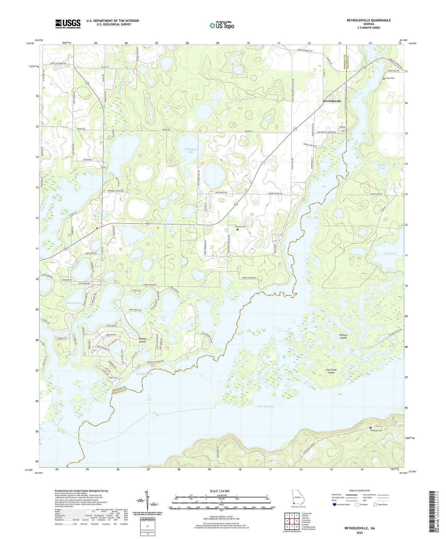
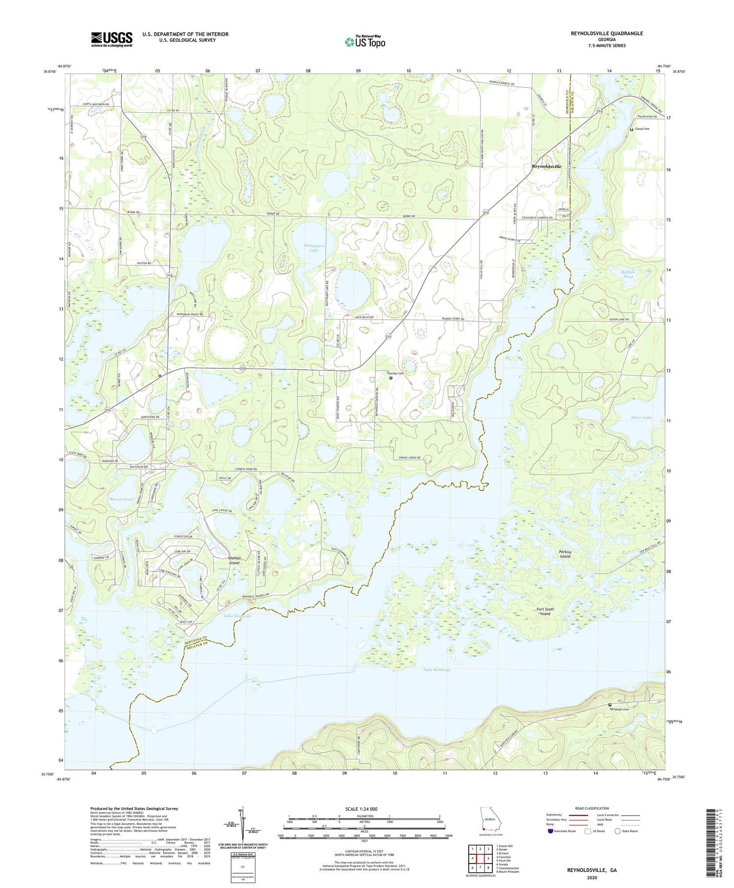
Reynoldsville Georgia US Topo Map
Couldn't load pickup availability
2024 topographic map quadrangle Reynoldsville in the state of Georgia. Scale: 1:24000. Based on the newly updated USGS 7.5' US Topo map series, this map is in the following counties: Seminole, Decatur. The map contains contour data, water features, and other items you are used to seeing on USGS maps, but also has updated roads and other features. This is the next generation of topographic maps. Printed on high-quality waterproof paper with UV fade-resistant inks.
Quads adjacent to this one:
West: Fairchild
Northwest: Steam Mill
North: Desser
Northeast: Brinson
East: Faceville
Southeast: Mount Pleasant
South: Chattahoochee
Southwest: Sneads
This map covers the same area as the classic USGS quad with code o30084g7.
Contains the following named places: Bainbridge Air Base Landing Field, Buffalo Pond, Calvary Church, Church of God, Cloud Cemetery, Devil Den Springs, F D R School, Fishpond Drain, Fort Scott, Fort Scott Island, Harvel Pond, Henry Cummings Landing, Lake Seminole, Perkins Island, Randolph Cemetery, Reynoldsville, Reynoldsville State Park, Sealeys Island, Sealy Plantation, Shackelford Springs, Silver Lake, Spring Creek, Spring Creek Church, Spring Creek Courthouse, Spring Creek Landing, Spring Creek Volunteer Fire Department, Thursby Cemetery, Whidden Springs, Whittakers Lake, Wyley Landing


