
MyTopo
Faceville Georgia US Topo Map
Couldn't load pickup availability
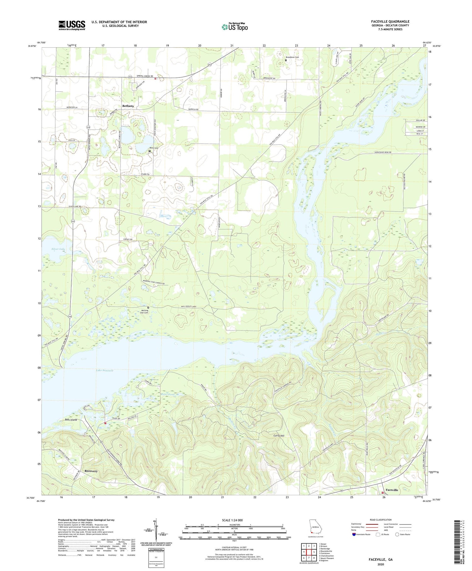
2024 topographic map quadrangle Faceville in the state of Georgia. Scale: 1:24000. Based on the newly updated USGS 7.5' US Topo map series, this map is in the following counties: Decatur. The map contains contour data, water features, and other items you are used to seeing on USGS maps, but also has updated roads and other features. This is the next generation of topographic maps. Printed on high-quality waterproof paper with UV fade-resistant inks.
Quads adjacent to this one:
West: Reynoldsville
Northwest: Desser
North: Brinson
Northeast: Bainbridge
East: Fowlstown
Southeast: Dogtown
South: Mount Pleasant
Southwest: Chattahoochee
This map covers the same area as the classic USGS quad with code o30084g6.
Contains the following named places: Bass Island, Bethany, Bethany Church, Bethany Church Cemetery, Big Horseshoe Bend, Breedlove Cemetery, Butlers Creek, Decatur County Fire and Rescue Station 240, Decatur County Fire Department and Rescue Station 275, Dry Creek, Faceville, Faceville Census Designated Place, Faceville Division, Faceville Landing, Fellowship Church, Fellowship Church Cemetery, Hales Landing, Horseshoe Bend Boat Ramp, Hutchinson Landing, Hutchinsons Ferry, Kendrick Volunteer Fire Department and Rescue Station 260, L and N Poultry Farm, Mock Cemetery, Morning Star Cemetery, Mount Gilead Church, Mount Gilead Church Cemetery, Mount Zion Church, Muddy Springs, Pattersons Landing, Peter Pond, Recovery, Saint Lukes Church, Salem Church, Sanborn Creek, Ten Mile Still Landing, ZIP Code: 39819


