MyTopo
Daytona Beach NW Florida US Topo Map
Couldn't load pickup availability
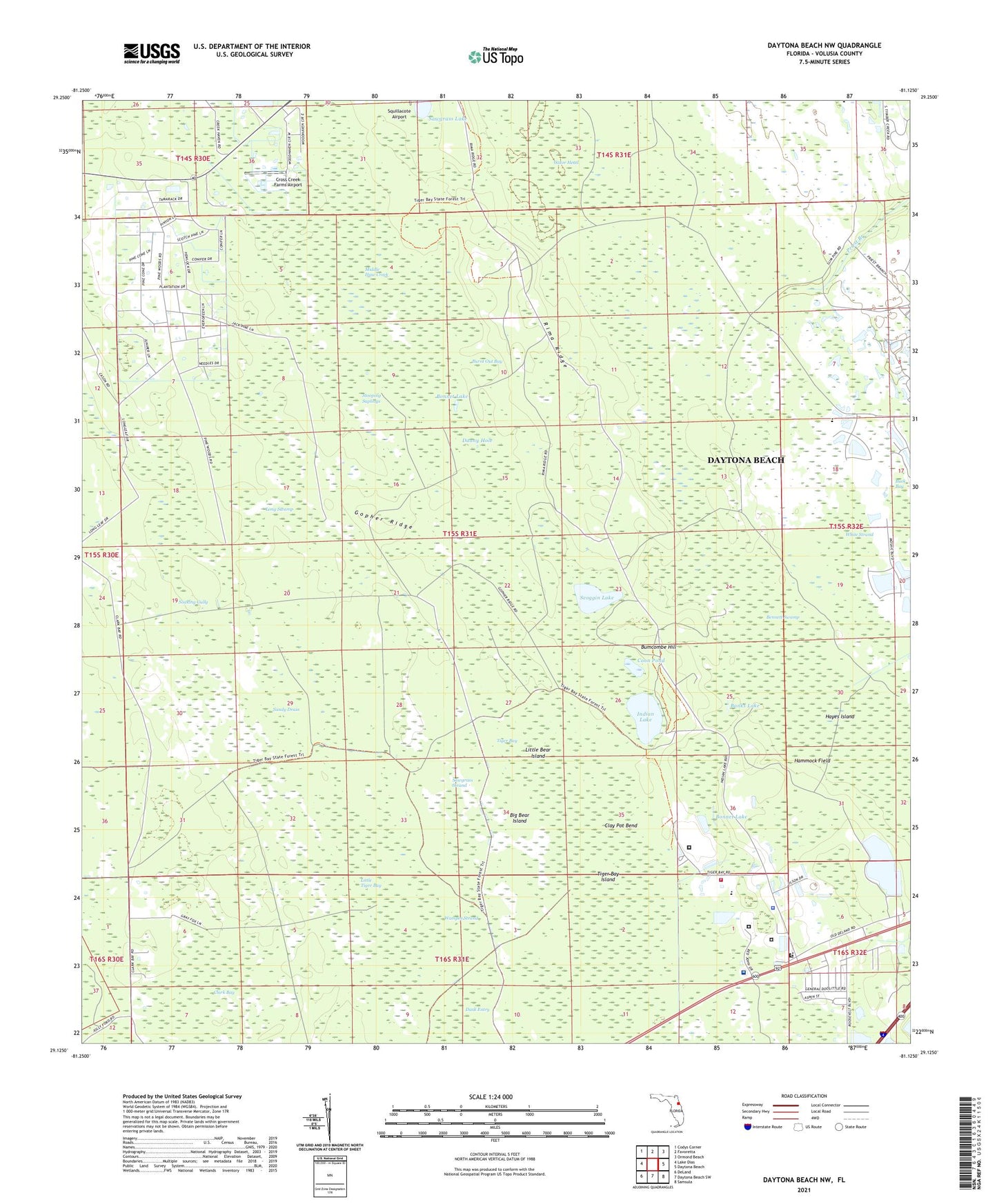
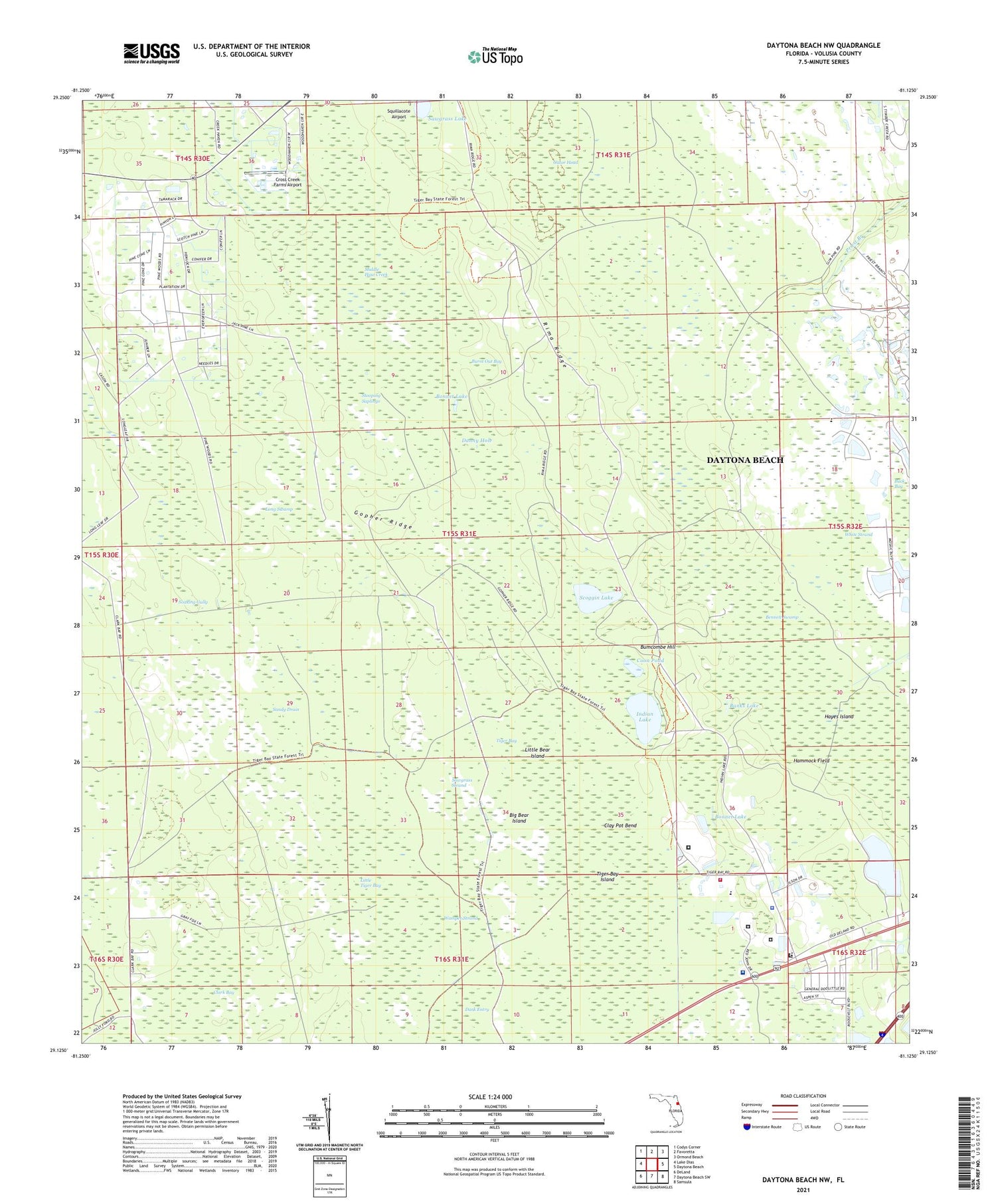
2024 topographic map quadrangle Daytona Beach NW in the state of Florida. Scale: 1:24000. Based on the newly updated USGS 7.5' US Topo map series, this map is in the following counties: Volusia. The map contains contour data, water features, and other items you are used to seeing on USGS maps, but also has updated roads and other features. This is the next generation of topographic maps. Printed on high-quality waterproof paper with UV fade-resistant inks.
Quads adjacent to this one:
West: Lake Dias
Northwest: Codys Corner
North: Favoretta
Northeast: Ormond Beach
East: Daytona Beach
Southeast: Samsula
South: Daytona Beach SW
Southwest: DeLand
This map covers the same area as the classic USGS quad with code o29081b2.
Contains the following named places: Banks Lake, Bennett Field, Bennett Swamp, Big Bear Island, Bonnet Lake, Buck Bay, Bumcombe Hill, Burnt Out Bay, Clark Bay, Clay Pot Bend, Coon Pond, Cross Creek Farms Airport, Danny Hole, Daytona Beach Community College - Mary Karl Memorial Library, Daytona Highridge Estates, Gator Head, Gopher Ridge, Hammock Field, Hayes Island, Indian Lake, Little Bear Island, Little Tiger Bay, Long Swamp, Middle Haw Creek, Old Clark Field, Rima Ridge, Riverbend Community Church, Sandy Drain, Sawgrass Lake, Sawgrass Strand, Scoggin Lake, Slim Pines, Soaking Gully, Stooping Saplings, Tiger Bay, Tiger Bay Island, Tomoka Correctional Institution, Tomoka Lookout Tower, Volusia County Correctional Facility, Volusia County Fire Services Training Center Station 15, Volusia County Public Library Support Center, Volusia County Sheriff's Office, Volusia County Sheriff's Office Operations Center, Wampee Strand, WART-AM (Port Orange), WCEU-TV (New Smyrna Beach), White Strand, ZIP Code: 32124


