MyTopo
Favoretta Florida US Topo Map
Couldn't load pickup availability
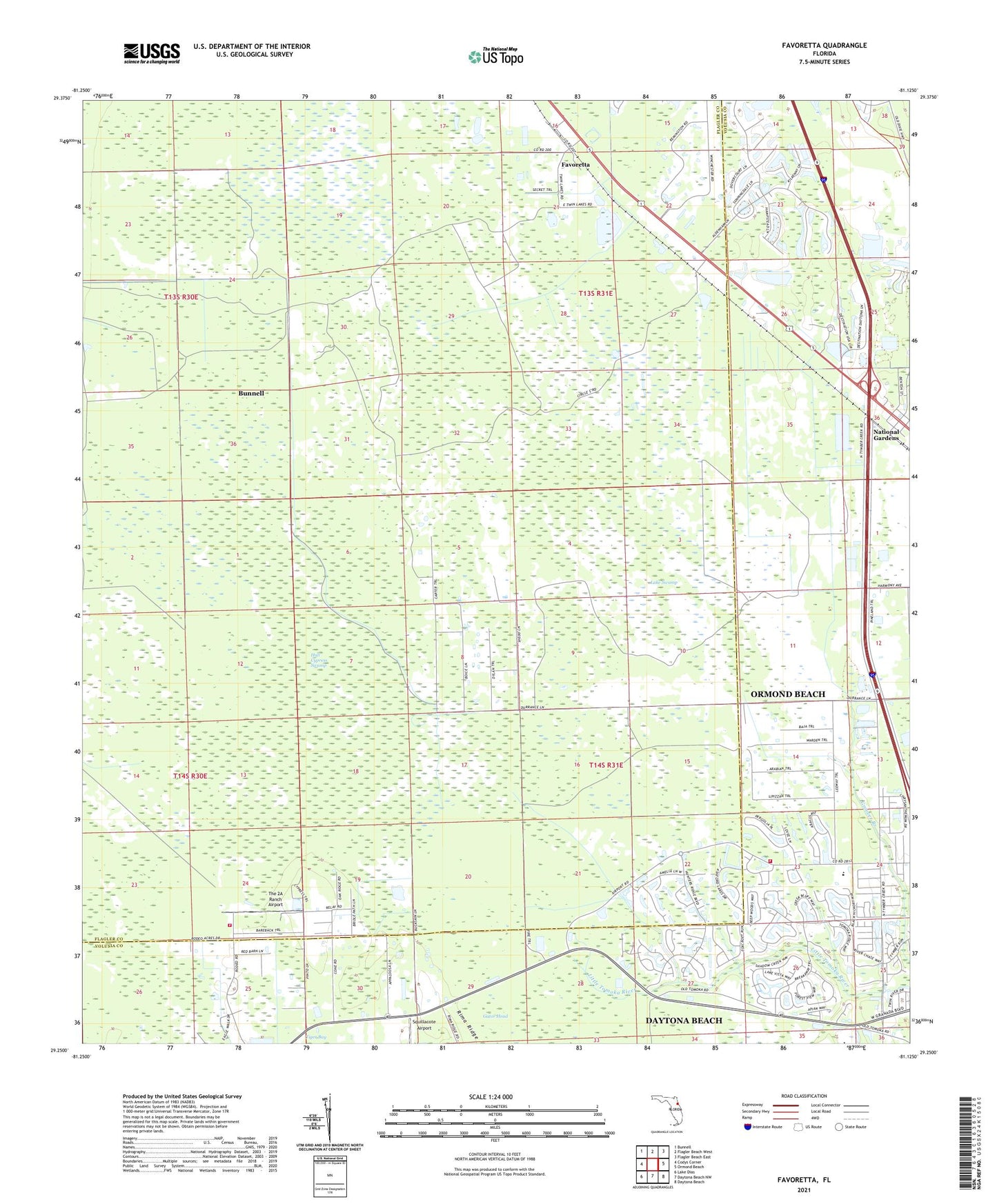
2024 topographic map quadrangle Favoretta in the state of Florida. Scale: 1:24000. Based on the newly updated USGS 7.5' US Topo map series, this map is in the following counties: Flagler, Volusia. The map contains contour data, water features, and other items you are used to seeing on USGS maps, but also has updated roads and other features. This is the next generation of topographic maps. Printed on high-quality waterproof paper with UV fade-resistant inks.
Quads adjacent to this one:
West: Codys Corner
Northwest: Bunnell
North: Flagler Beach West
Northeast: Flagler Beach East
East: Ormond Beach
Southeast: Daytona Beach
South: Daytona Beach NW
Southwest: Lake Dias
This map covers the same area as the classic USGS quad with code o29081c2.
Contains the following named places: Dan Rice Airport, Faith Lutheran Church, Favoretta, Holy Dormition Catholic Church, Hull Cypress Swamp, Lake Swamp, National Gardens, Ormond Beach Fire Department Station 94, Rima Ridge Baptist Church, Rima Ridge Volunteer Fire Department Station 81, Squillacote Airport, The 2A Ranch Airport, ZIP Code: 32174