MyTopo
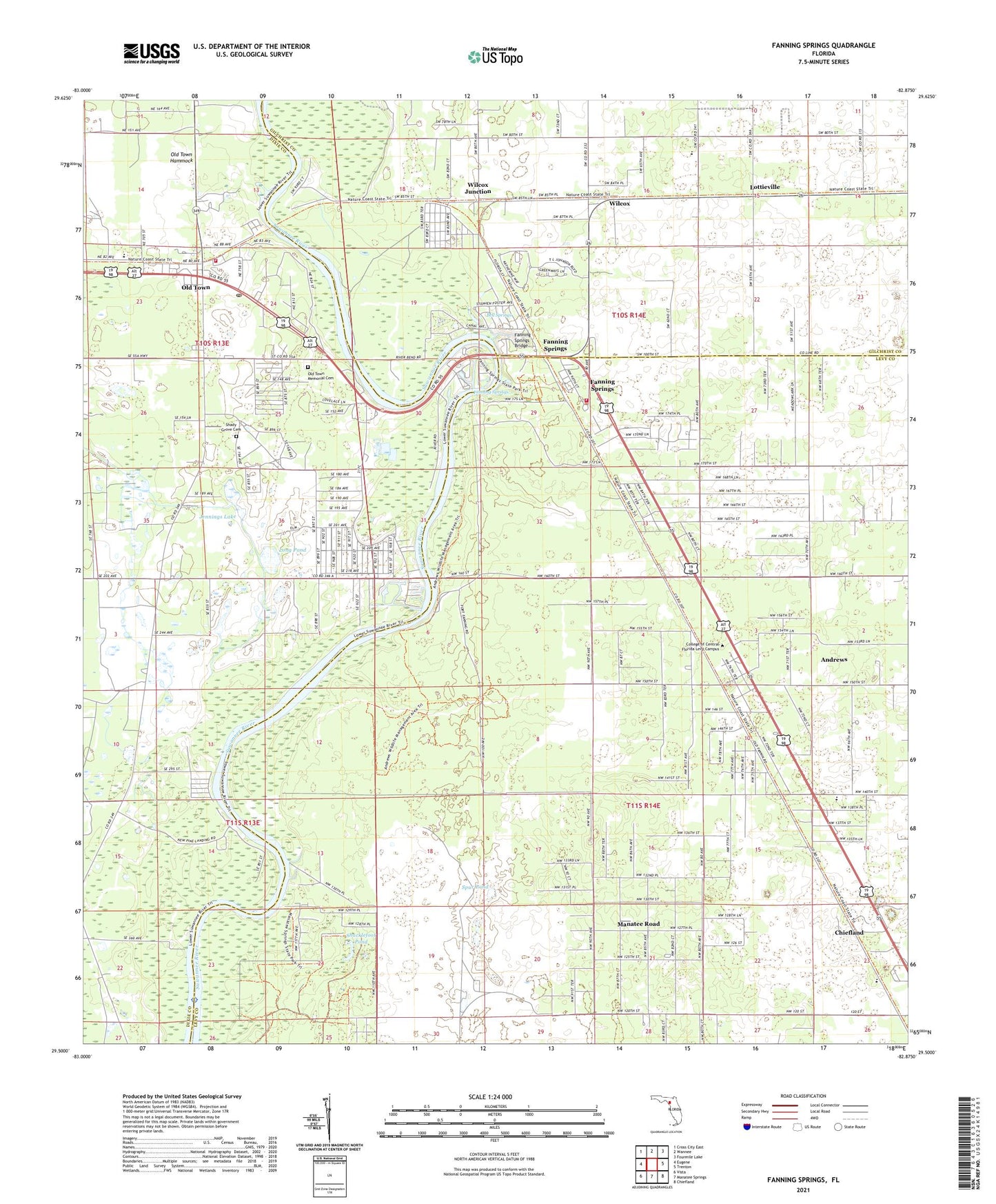
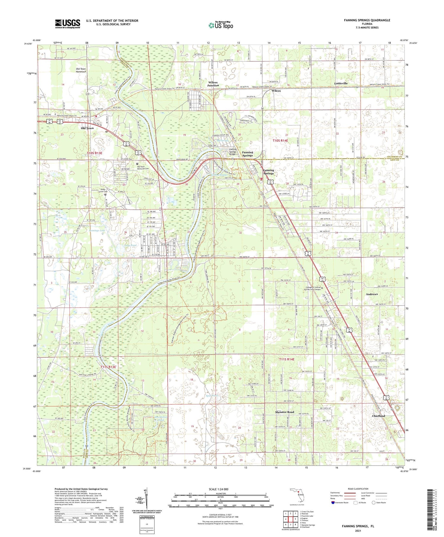
Fanning Springs Florida US Topo Map
Couldn't load pickup availability
2024 topographic map quadrangle Fanning Springs in the state of Florida. Scale: 1:24000. Based on the newly updated USGS 7.5' US Topo map series, this map is in the following counties: Levy, Dixie, Gilchrist. The map contains contour data, water features, and other items you are used to seeing on USGS maps, but also has updated roads and other features. This is the next generation of topographic maps. Printed on high-quality waterproof paper with UV fade-resistant inks.
Quads adjacent to this one:
West: Eugene
Northwest: Cross City East
North: Wannee
Northeast: Fourmile Lake
East: Trenton
Southeast: Chiefland
South: Manatee Springs
Southwest: Vista
This map covers the same area as the classic USGS quad with code o29082e8.
Contains the following named places: Andrews, Andrews Census Designated Place, Bell Springs, City of Fanning Springs, Clay Landing, Dixie County Emergency Medical Services Station 2, Dixie County Emergency Services Station 21, Faith Tabernacle, Fanning Springs, Fanning Springs Bridge, Fanning Springs Fire Department, Fanning Springs State Park, Fort Fanning, Gapac Station, Ipco Station, Jennings Lake, Joppa Church, Long Pond, Lottieville, Manatee Road, Manatee Road Census Designated Place, New Clay Landing, New Pine Landing, North Chiefland Church of God, Old Town, Old Town Elementary School, Old Town Memorial Cemetery, Old Town Post Office, Pine Landing, Saint Christophers Church, Shacklefoot Pond, Shady Grove Cemetery, Spur Pond, Suwanee Old Town, Suwannee River Church, Wilcox, Wilcox Junction, WLQH-AM (Chiefland)


