MyTopo
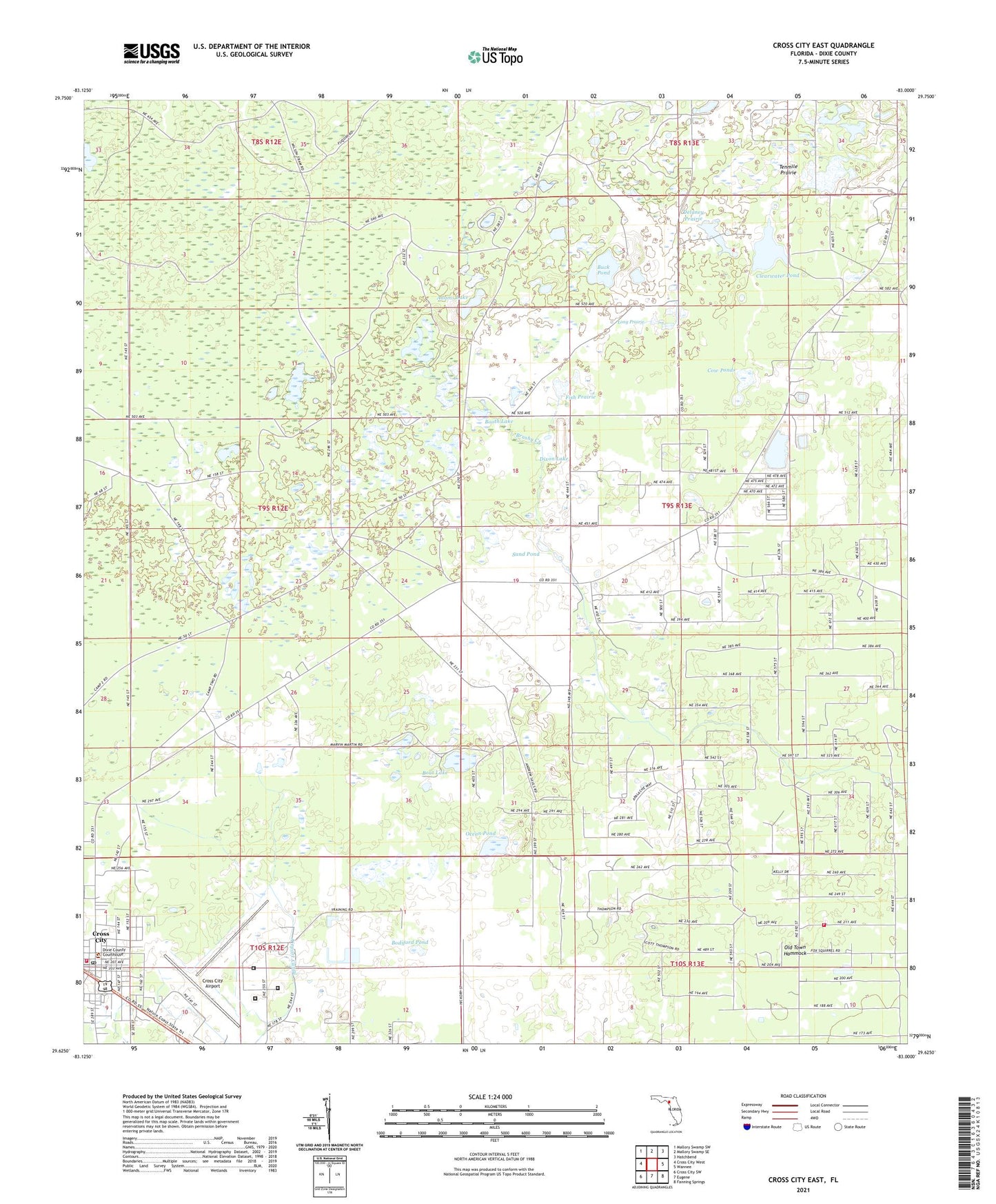
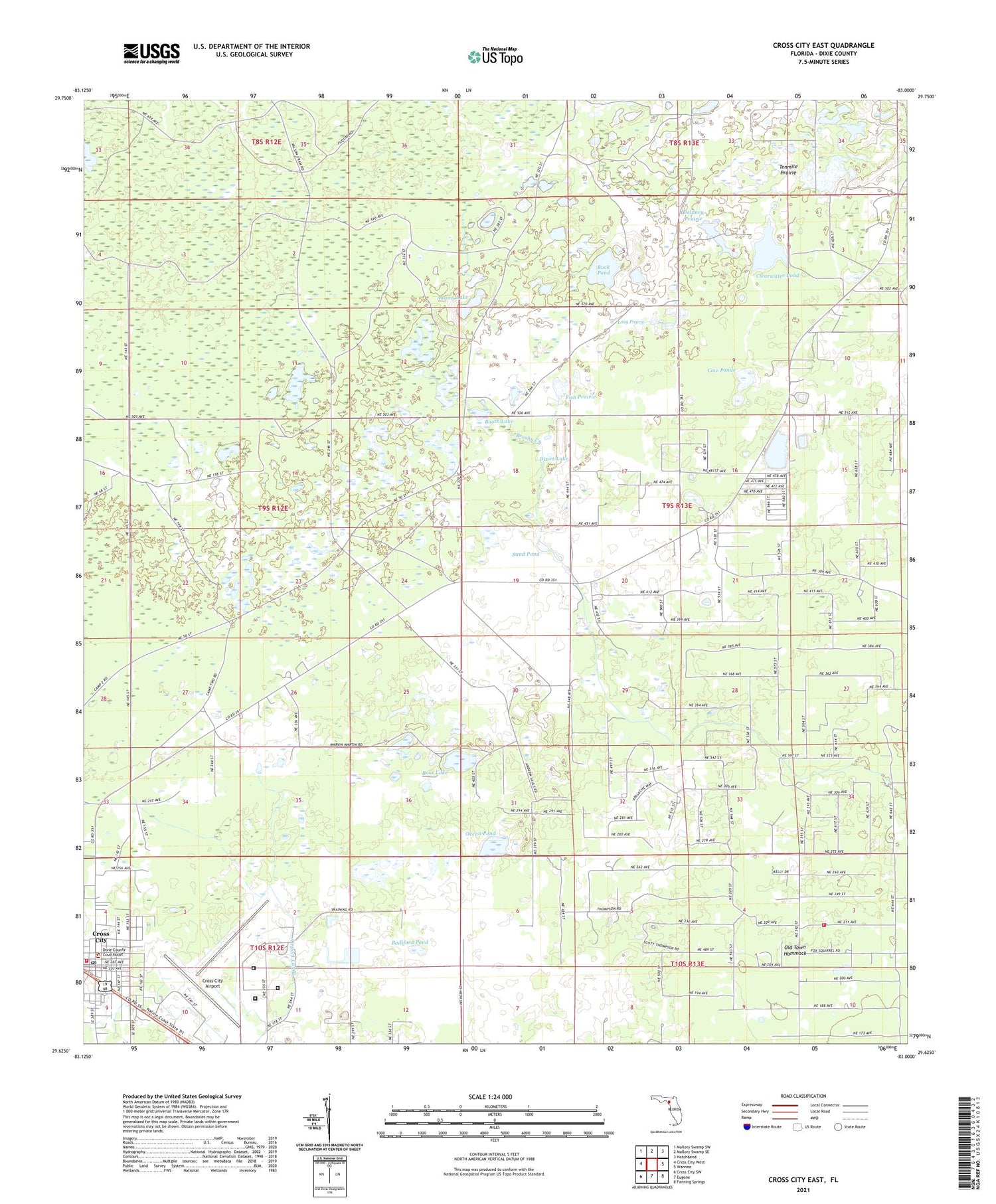
Cross City East Florida US Topo Map
Couldn't load pickup availability
2024 topographic map quadrangle Cross City East in the state of Florida. Scale: 1:24000. Based on the newly updated USGS 7.5' US Topo map series, this map is in the following counties: Dixie. The map contains contour data, water features, and other items you are used to seeing on USGS maps, but also has updated roads and other features. This is the next generation of topographic maps. Printed on high-quality waterproof paper with UV fade-resistant inks.
Quads adjacent to this one:
West: Cross City West
Northwest: Mallory Swamp SW
North: Mallory Swamp SE
Northeast: Hatchbend
East: Wannee
Southeast: Fanning Springs
South: Eugene
Southwest: Cross City SW
This map covers the same area as the classic USGS quad with code o29083f1.
Contains the following named places: Adams Lake, Boat Lake, Bodiford Pond, Booth Lake, Brushy Creek, Buck Pond, Clearwater Pond, Cow Ponds, Cross City Air Force Station, Cross City Airport, Cross City Army Air Field, Cross City Correctional Institution, Cross City Correctional Institution Library, Cross City North Division, Cross City Post Office, Delaney Prairie, Dixie County Emergency Medical Services Station 1, Dixie County Fire and Rescue Station 22, Dixie County Fire Services Station 41, Dixie County Jail, Dixie County Sheriff's Office, Dixon Lake, Fish Prairie, Holly Hill Lookout Tower, Long Prairie, Ocean Pond, Old Town Hammock, Sand Pond, Scrub Creek Church, Tenmile Prairie, Town of Cross City


