MyTopo
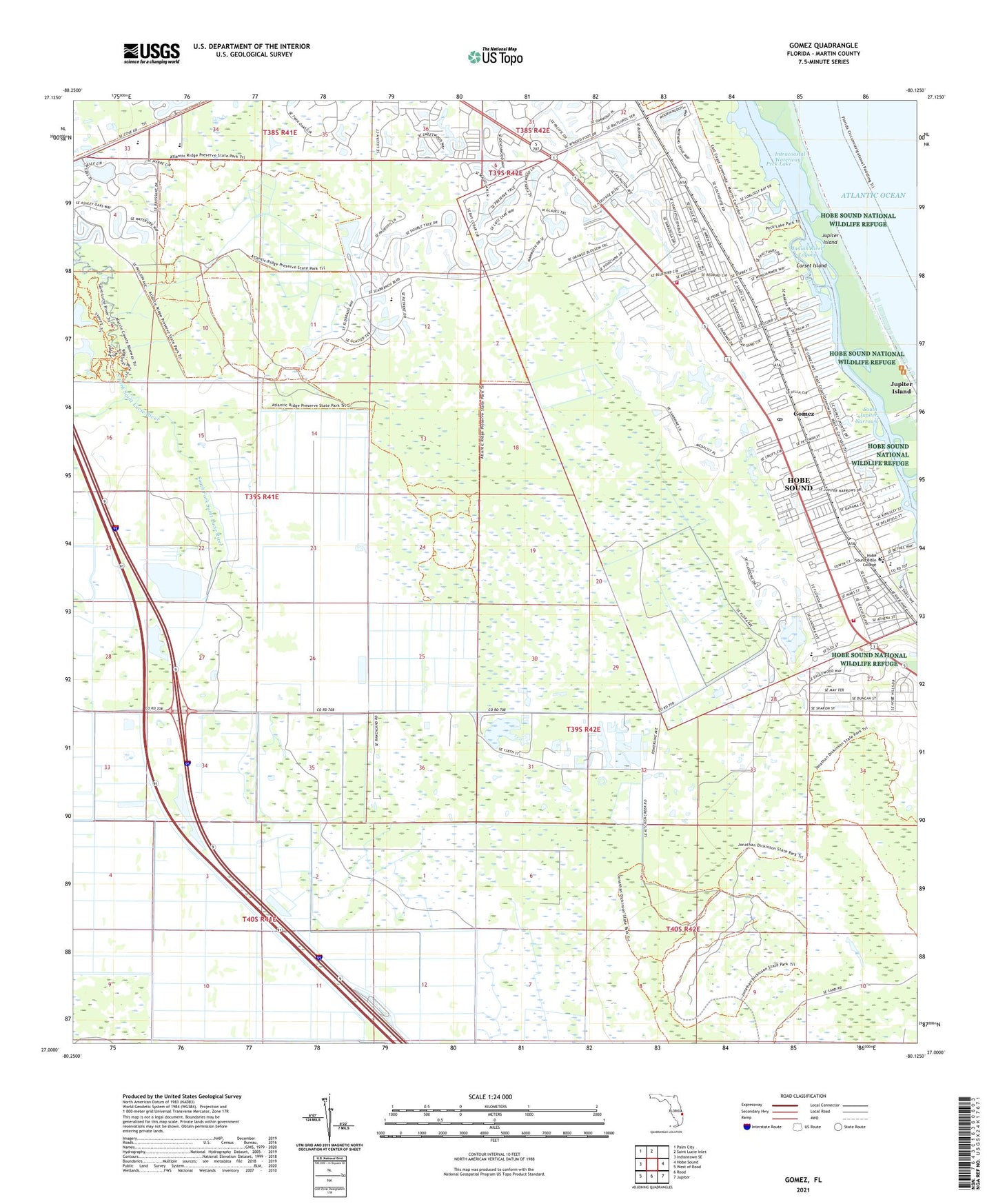
Gomez Florida US Topo Map
Couldn't load pickup availability
2024 topographic map quadrangle Gomez in the state of Florida. Scale: 1:24000. Based on the newly updated USGS 7.5' US Topo map series, this map is in the following counties: Martin. The map contains contour data, water features, and other items you are used to seeing on USGS maps, but also has updated roads and other features. This is the next generation of topographic maps. Printed on high-quality waterproof paper with UV fade-resistant inks.
Quads adjacent to this one:
West: Indiantown SE
Northwest: Palm City
North: Saint Lucie Inlet
East: Hobe Sound
Southeast: Jupiter
South: Rood
Southwest: West of Rood
This map covers the same area as the classic USGS quad with code o27080a2.
Contains the following named places: Banner Lake, Corset Island, Faith Covenant Church, First United Methodist Church of Hobe Sound, Golf Club of Amelia Island at Summer Beach, Golf Club of Jacksonville, Golf Club of Miami, Golf Club of the Everglades, Golf Hammock Country Club, Gomez, Gomez Grant, Hobe Sound, Hobe Sound Bible College, Hobe Sound Census Designated Place, Hobe Sound Church, Hobe Sound Community Presbyterian Church, Hobe Sound Elementary School, Hobe Sound Mobile Home Park, Hobe Sound National Wildlife Refuge, Hobe Sound Post Office, Hobe Village Mobile Home Park, Jonathan Dickinson State Park, Martin County Fire Rescue Station 32, Martin County Fire Rescue Station 33, Martin County Public Library System Hobe Sound Branch Library, Mount Olive Missionary Baptist Church, New Allen Temple Church, Peck Lake, Pinelake Gardens Estates, Poinciana Gardens, Port Salerno-Hobe Sound Division, Reed Wilderness Seashore Sanctuary, Saint Christophers Catholic Church, Saint Matthew Primitive Baptist Church, Seabreeze Mobile Manor, South Jupiter Narrows, The Strand Golf and Country Club, Twin Rivers Mobile Home Park, ZIP Code: 33455


