MyTopo
Holopaw SE Florida US Topo Map
Couldn't load pickup availability
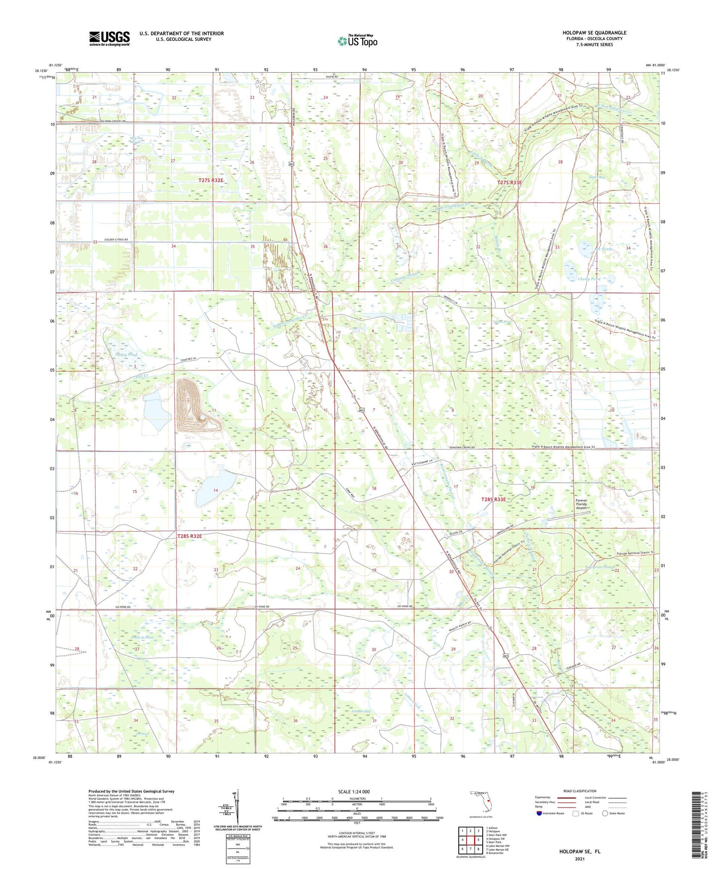
2024 topographic map quadrangle Holopaw SE in the state of Florida. Scale: 1:24000. Based on the newly updated USGS 7.5' US Topo map series, this map is in the following counties: Osceola. The map contains contour data, water features, and other items you are used to seeing on USGS maps, but also has updated roads and other features. This is the next generation of topographic maps. Printed on high-quality waterproof paper with UV fade-resistant inks.
Quads adjacent to this one:
West: Holopaw SW
Northwest: Ashton
North: Holopaw
Northeast: Deer Park NW
East: Deer Park
Southeast: Kenansville
South: Lake Marian NE
Southwest: Lake Marian NW
This map covers the same area as the classic USGS quad with code o28081a1.
Contains the following named places: Bee Ponds, Boggy Branch, Cabbage Slough, Clump Pond, Five T Ranch, Forever Florida Airport, Grape Head Pond, Hog Pen Slough, Illahaw, Island Pond, Johnson Bay, Little Creek, Little North Prong, North Ox Pond, Oakey Pond, Rattlesnake Slough, Saplin Bay, Sawgrass Slough, South and East Osceola Division, Turkey Slough