MyTopo
Johnson Hammock Florida US Topo Map
Couldn't load pickup availability
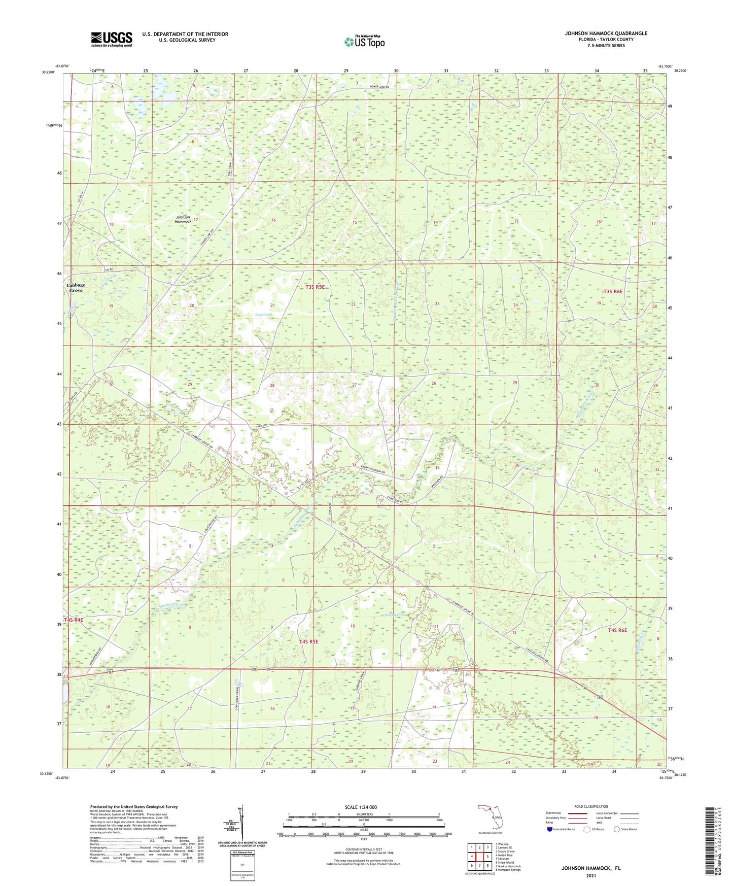
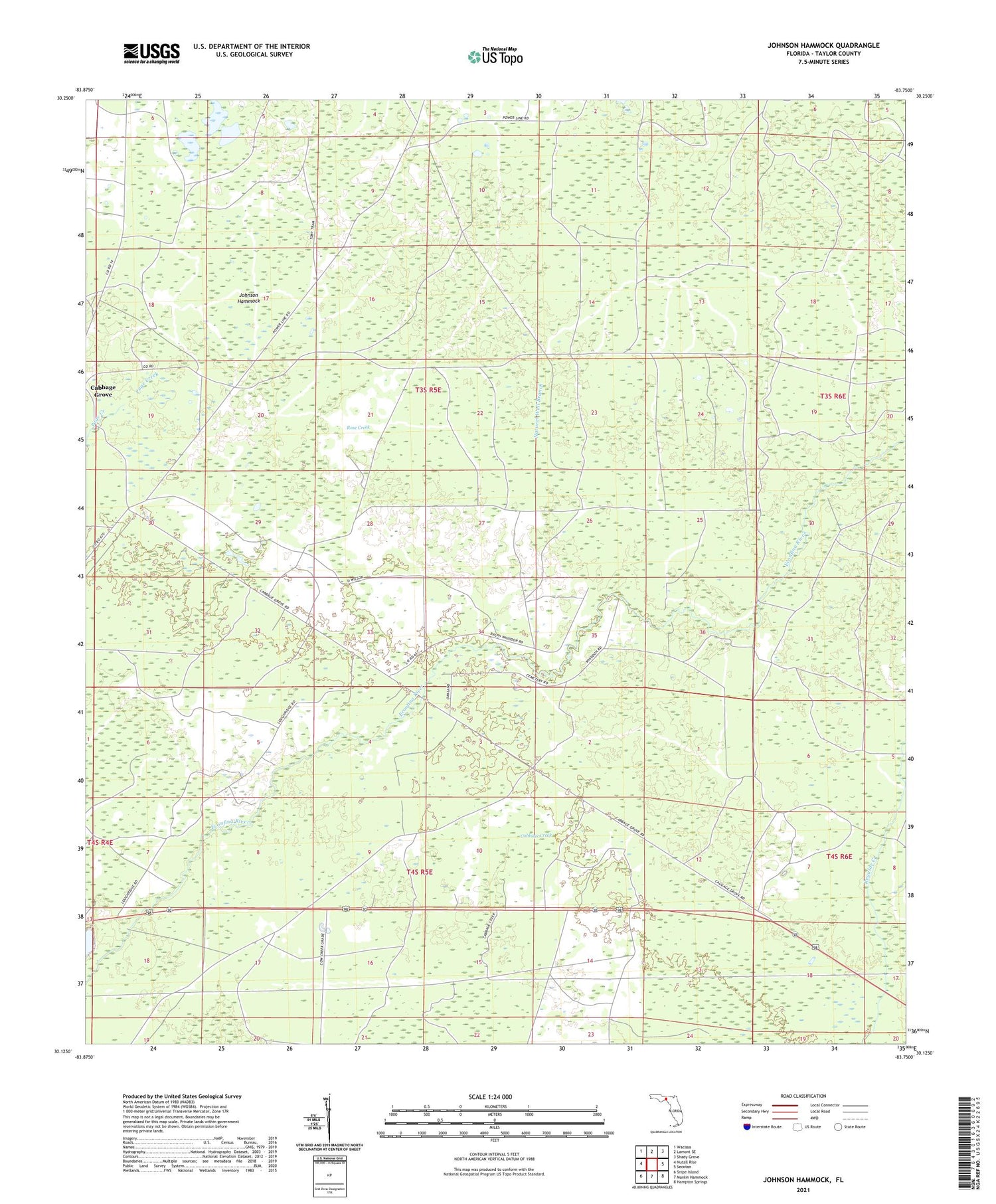
2024 topographic map quadrangle Johnson Hammock in the state of Florida. Scale: 1:24000. Based on the newly updated USGS 7.5' US Topo map series, this map is in the following counties: Taylor. The map contains contour data, water features, and other items you are used to seeing on USGS maps, but also has updated roads and other features. This is the next generation of topographic maps. Printed on high-quality waterproof paper with UV fade-resistant inks.
Quads adjacent to this one:
West: Nutall Rise
Northwest: Wacissa
North: Lamont SE
Northeast: Shady Grove
East: Secotan
Southeast: Hampton Springs
South: Manlin Hammock
Southwest: Snipe Island
This map covers the same area as the classic USGS quad with code o30083b7.
Contains the following named places: Cabbage Creek, Cabbage Grove, Econfina, Johnson Hammock, Natural Well Branch, Oakland Church, Rose Creek, Waylonzo