
MyTopo
Shady Grove Florida US Topo Map
Couldn't load pickup availability
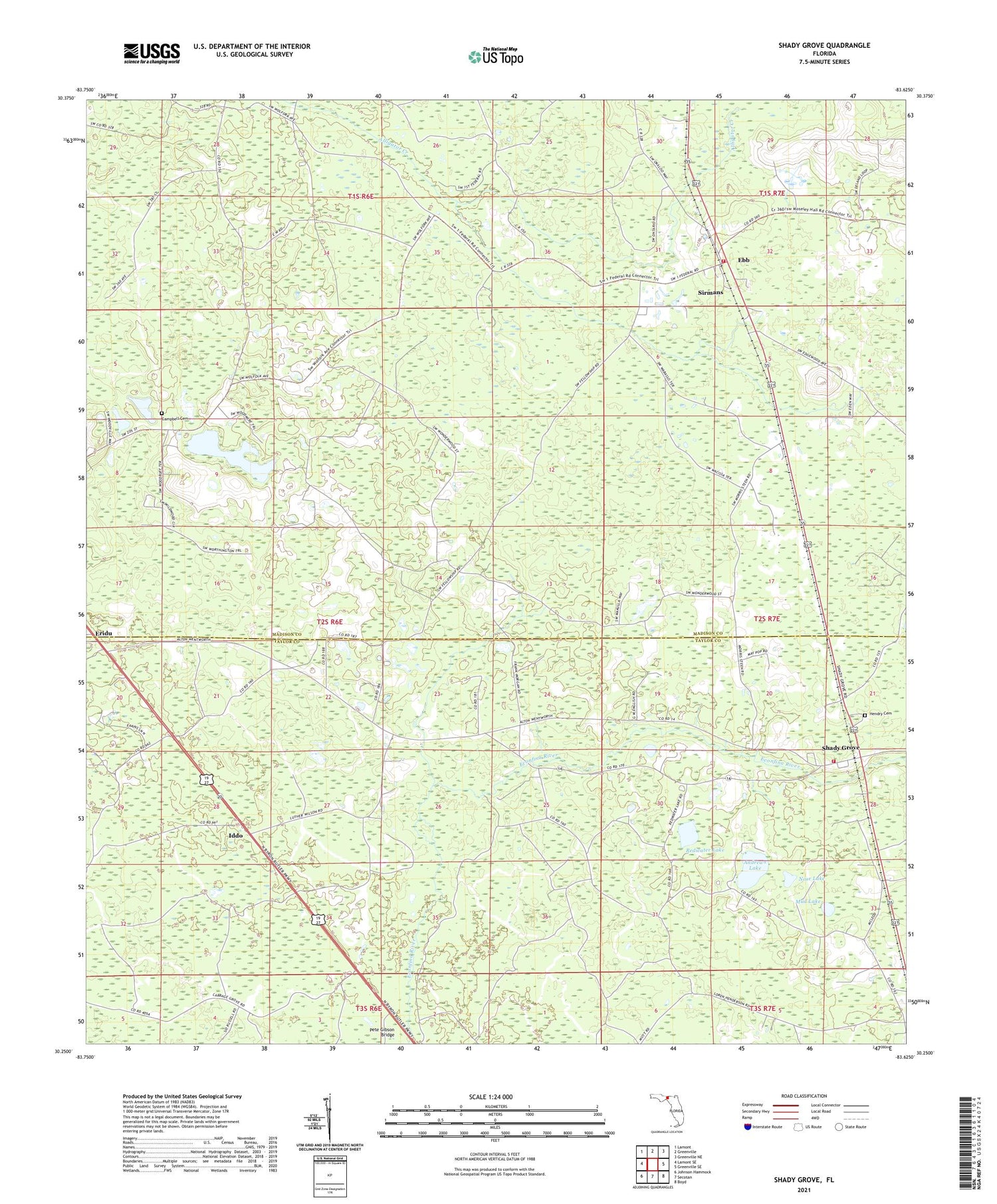
2024 topographic map quadrangle Shady Grove in the state of Florida. Scale: 1:24000. Based on the newly updated USGS 7.5' US Topo map series, this map is in the following counties: Madison, Taylor. The map contains contour data, water features, and other items you are used to seeing on USGS maps, but also has updated roads and other features. This is the next generation of topographic maps. Printed on high-quality waterproof paper with UV fade-resistant inks.
Quads adjacent to this one:
West: Lamont SE
Northwest: Lamont
North: Greenville
Northeast: Greenville NE
East: Greenville SE
Southeast: Boyd
South: Secotan
Southwest: Johnson Hammock
This map covers the same area as the classic USGS quad with code o30083c6.
Contains the following named places: Andrews Lake, Campbell Cemetery, Ebb, Eridu, Fellowship Church, Harmony Church, Hendry Cemetery, Iddo, Live Oak Baptist Church, Mud Lake, Nose Lake, Pete Gibson Bridge, Pleasant Grove Church, Redwater Lake, Shady Grove, Shady Grove School, Sirmans, Sirmans Volunteer Fire Department, Taylor County Fire and Rescue Station 8


