MyTopo
Long Key Florida US Topo Map
Couldn't load pickup availability
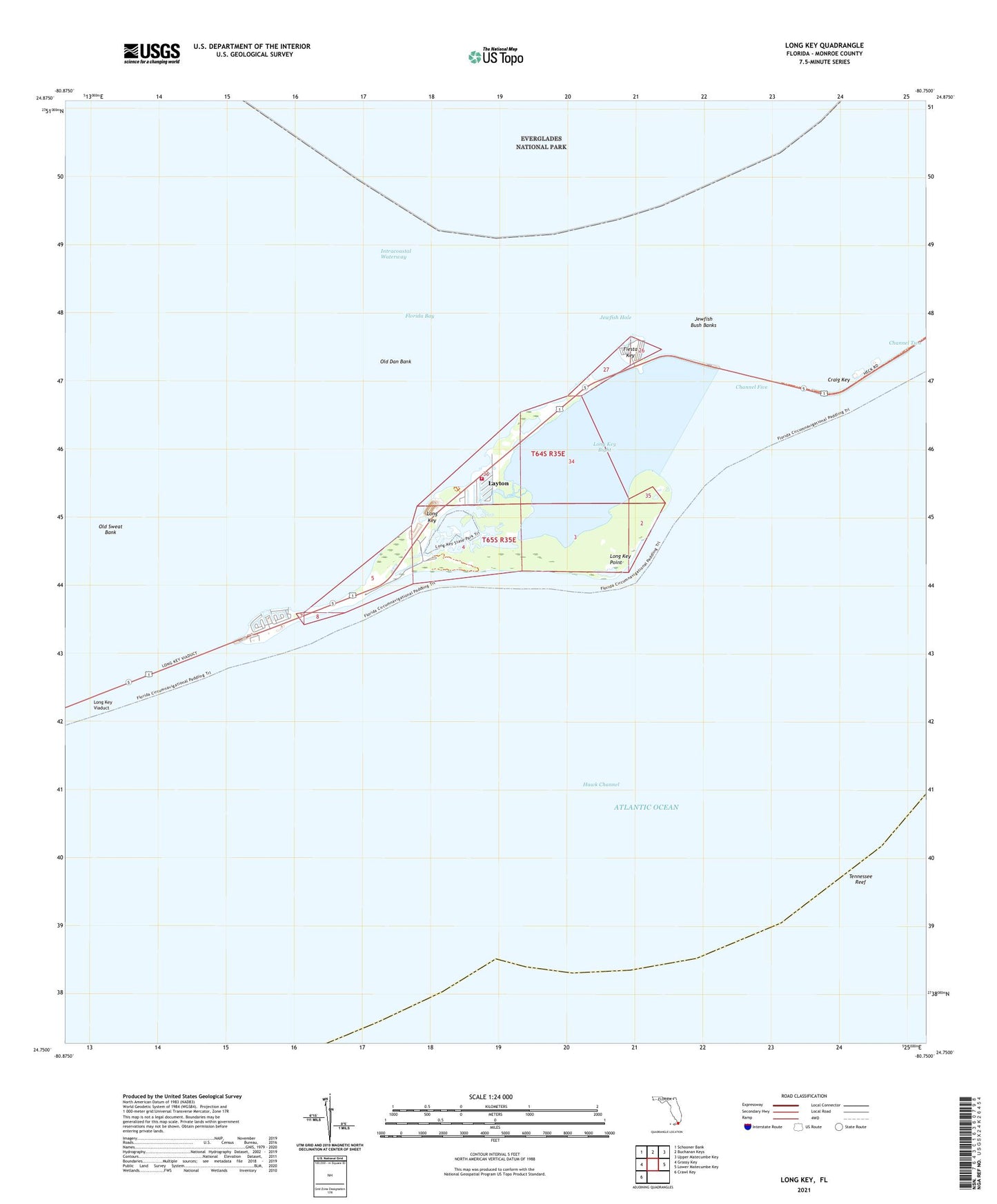
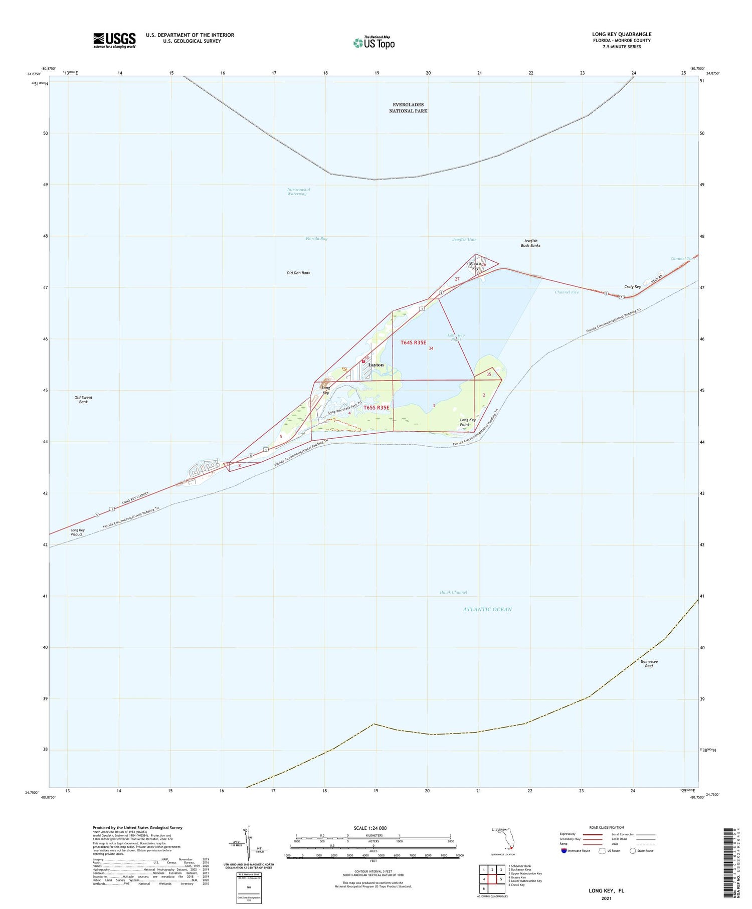
2024 topographic map quadrangle Long Key in the state of Florida. Scale: 1:24000. Based on the newly updated USGS 7.5' US Topo map series, this map is in the following counties: Monroe. The map contains contour data, water features, and other items you are used to seeing on USGS maps, but also has updated roads and other features. This is the next generation of topographic maps. Printed on high-quality waterproof paper with UV fade-resistant inks.
Quads adjacent to this one:
West: Grassy Key
Northwest: Schooner Bank
North: Buchanan Keys
Northeast: Upper Matecumbe Key
East: Lower Matecumbe Key
Southwest: Crawl Key
This map covers the same area as the classic USGS quad with code o24080g7.
Contains the following named places: Channel Five, Channel Two, City of Layton, Craig, Craig Key, Craig Post Office, Fiesta Key, Hawk Channel, Jewfish Bush Banks, Jewfish Hole, Layton, Long Key, Long Key Bight, Long Key Point, Long Key Post Office, Long Key State Park, Long Key Viaduct, Monroe County Fire Rescue - Station 18, Old Dan Bank, Old Sweat Bank, Tennessee Reef, ZIP Code: 33001