MyTopo
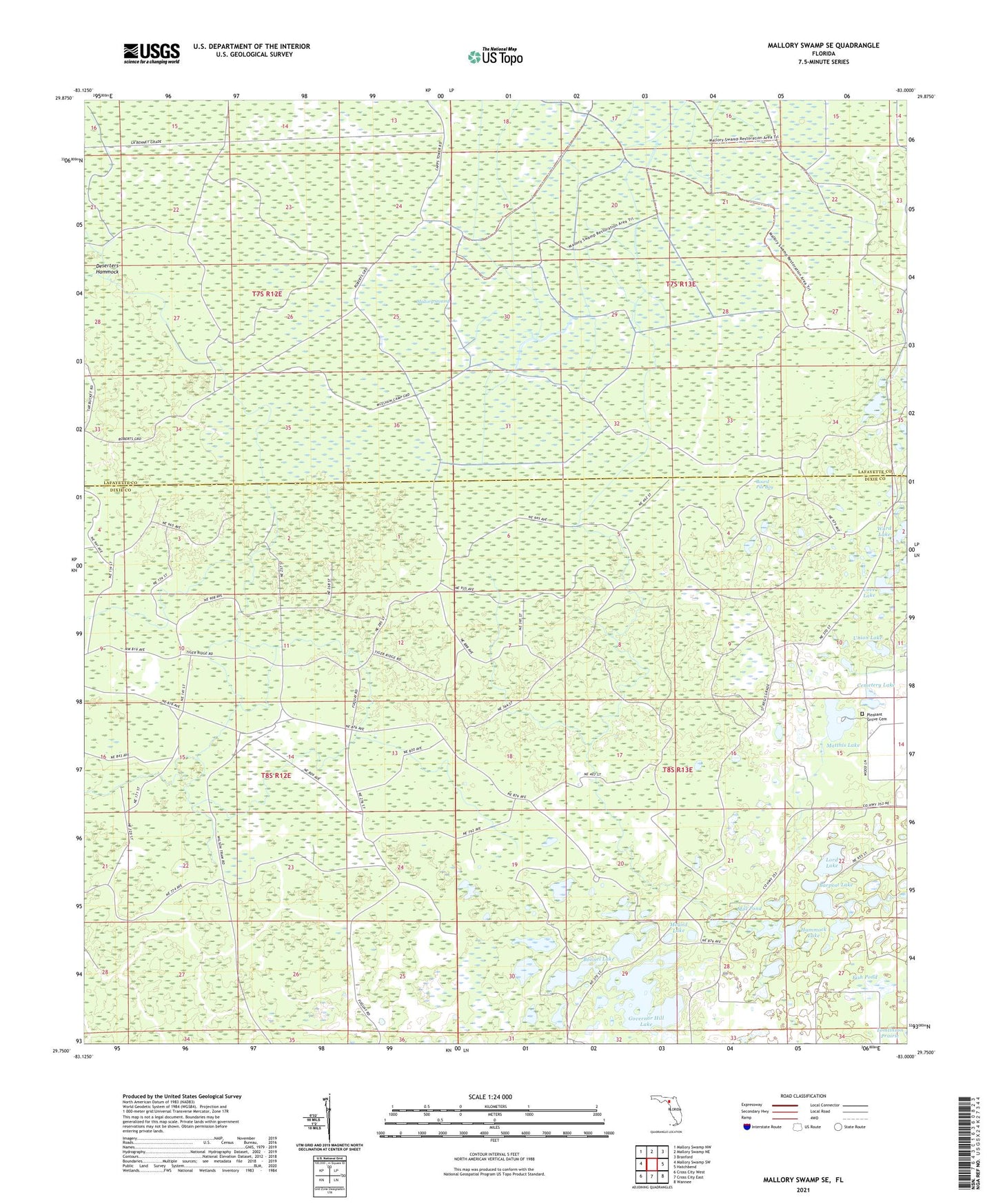
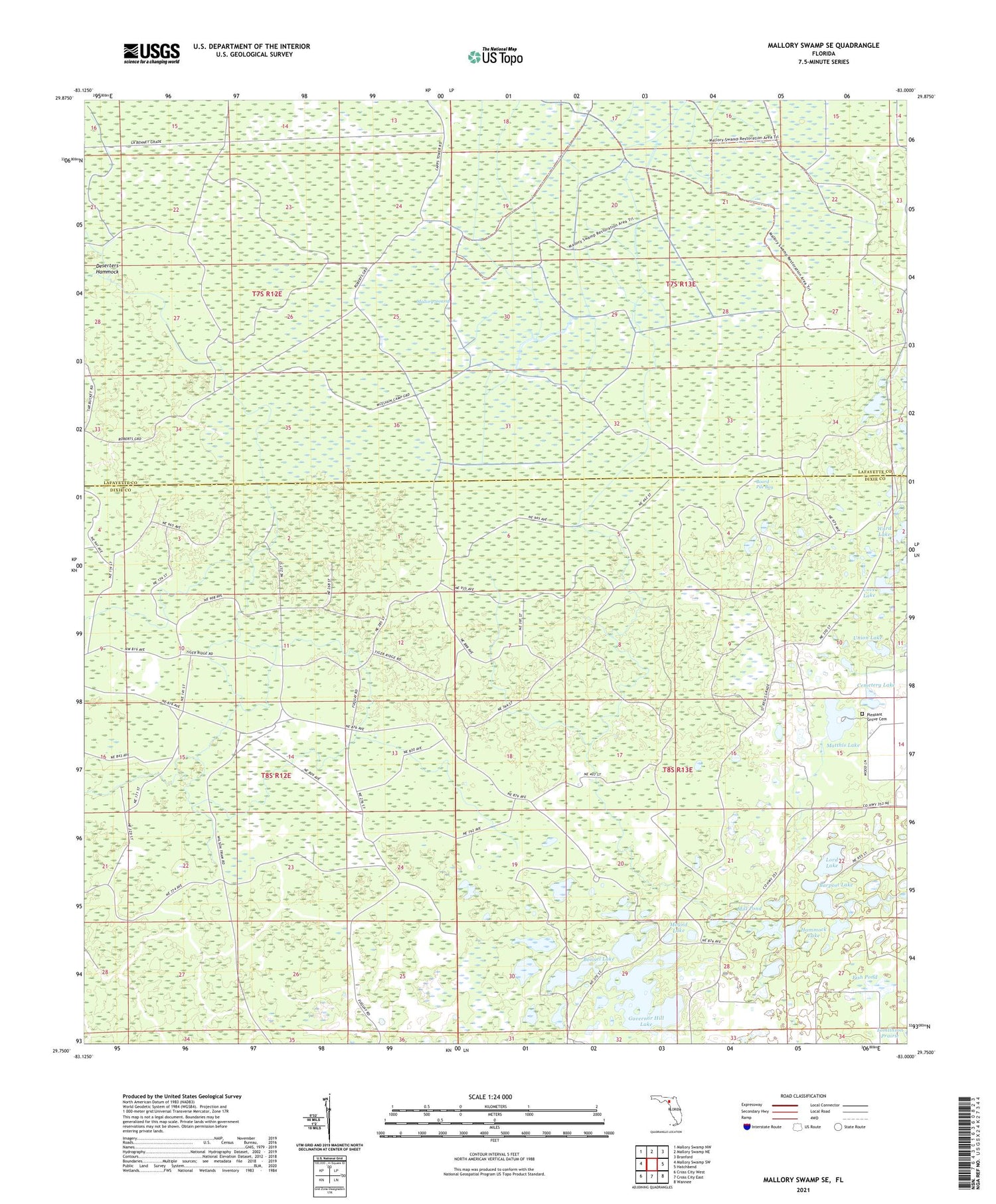
Mallory Swamp SE Florida US Topo Map
Couldn't load pickup availability
2024 topographic map quadrangle Mallory Swamp SE in the state of Florida. Scale: 1:24000. Based on the newly updated USGS 7.5' US Topo map series, this map is in the following counties: Dixie, Lafayette. The map contains contour data, water features, and other items you are used to seeing on USGS maps, but also has updated roads and other features. This is the next generation of topographic maps. Printed on high-quality waterproof paper with UV fade-resistant inks.
Quads adjacent to this one:
West: Mallory Swamp SW
Northwest: Mallory Swamp NW
North: Mallory Swamp NE
Northeast: Branford
East: Hatchbend
Southeast: Wannee
South: Cross City East
Southwest: Cross City West
This map covers the same area as the classic USGS quad with code o29083g1.
Contains the following named places: Barpost Lake, Board Pile Bay, Bonnel Lake, Cemetery Lake, Cove Lake, Cow Camp, Deserters Hammock, Fish Pond, Governor Hill Lake, Hammock Lake, Lord Lake, Mallory Swamp, Matthis Lake, McElvain Camp, Mill Pond, Mound Lake, Pleasant Grove Cemetery, Union Lake, Ward Lake