MyTopo
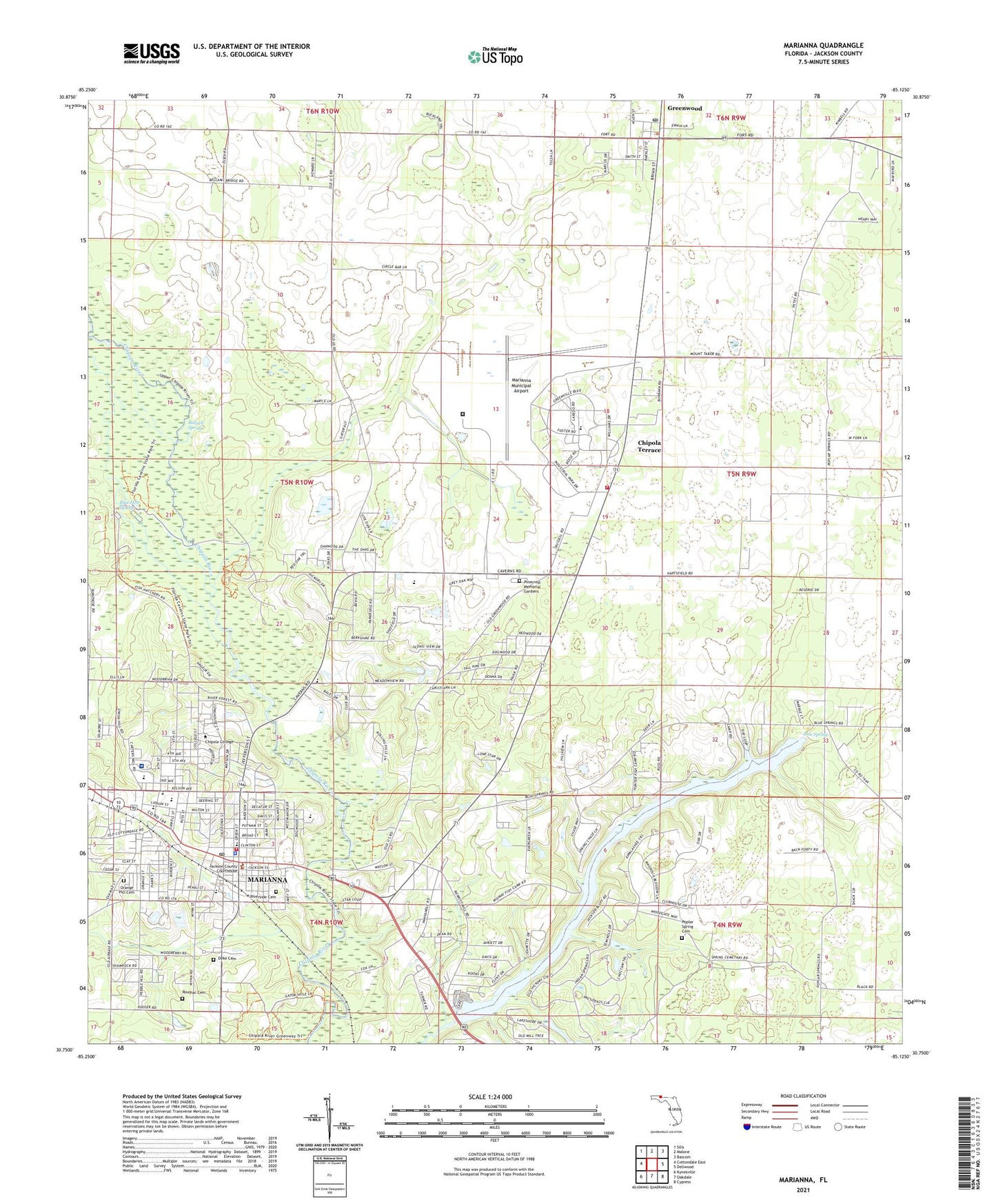
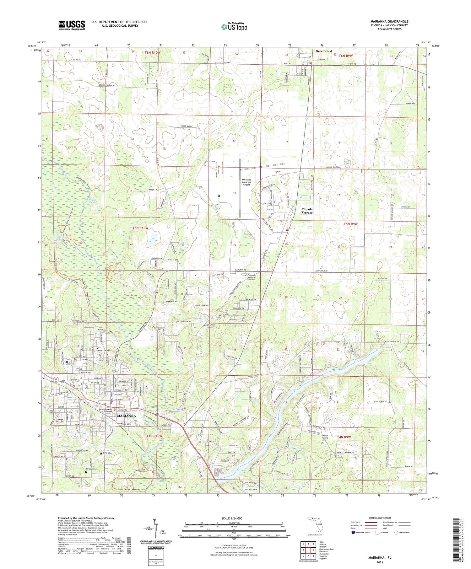
Marianna Florida US Topo Map
Couldn't load pickup availability
2024 topographic map quadrangle Marianna in the state of Florida. Scale: 1:24000. Based on the newly updated USGS 7.5' US Topo map series, this map is in the following counties: Jackson. The map contains contour data, water features, and other items you are used to seeing on USGS maps, but also has updated roads and other features. This is the next generation of topographic maps. Printed on high-quality waterproof paper with UV fade-resistant inks.
Quads adjacent to this one:
West: Cottondale East
Northwest: Sills
North: Malone
Northeast: Bascom
East: Dellwood
Southeast: Cypress
South: Oakdale
Southwest: Kynesville
This map covers the same area as the classic USGS quad with code o30085g2.
Contains the following named places: Baltzell Spring, Blue Hole Spring, Blue Spring, Buckhorn School, Carol Plaza, Chipola Junior College, Chipola Terrace, City of Marianna, County Training School, Dyke Cemetery, Federal Correctional Institution Marianna, Florida Caverns State Park, Frank M Golson Elementary School, Friendship Church, Greenwood, Greenwood Chapel, Greenwood Post Office, Jackson County, Jackson County Adult Education Division, Jackson County Fire and Rescue Unit Station 1, Jackson County Hospital Heliport, Jackson Hospital, Lafayette Plaza, Mallory Heights, Marianna, Marianna Army Air Field, Marianna Division, Marianna Fire and Rescue Department Station 15, Marianna High School, Marianna Middle School, Marianna Municipal Airport, Marianna Police Department, Marianna Post Office, Marianna Square Shopping Center, Merritts Mill Pond, Mordes Academy, Mount Tabor School, Northwest Florida State Hospital, Orange Hill Cemetery, Pebble Hill Church, Pinecrest Memorial Gardens, Pope School, Poplar Spring Cemetery, Poplar Spring School, River Gate Plaza, Riverside Cemetery, Riverside Elementary School, Roulhac Cemetery, Saint Mark Church, Sunland Hospital Unit, Sunland Mariana Cox Medical Services Center, Town of Greenwood, Union Hill Church, WJNF-FM (Marianna), WTYS-AM (Marianna), ZIP Code: 32446


