MyTopo
Oakdale Florida US Topo Map
Couldn't load pickup availability
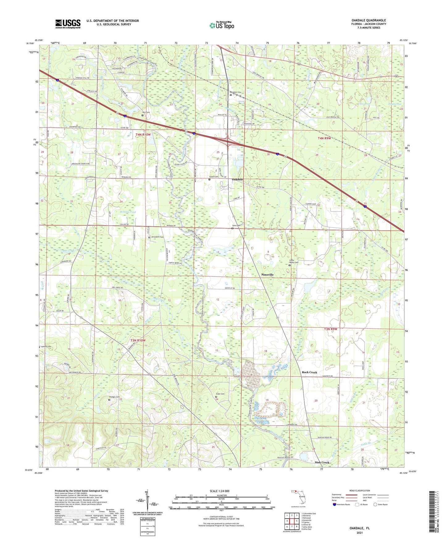
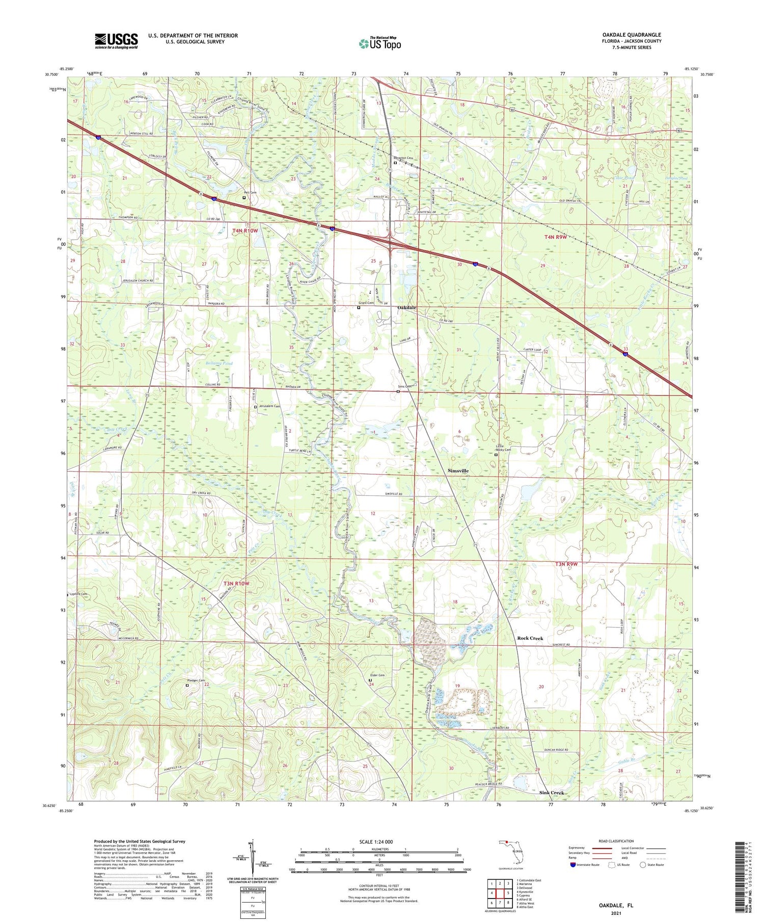
2024 topographic map quadrangle Oakdale in the state of Florida. Scale: 1:24000. Based on the newly updated USGS 7.5' US Topo map series, this map is in the following counties: Jackson. The map contains contour data, water features, and other items you are used to seeing on USGS maps, but also has updated roads and other features. This is the next generation of topographic maps. Printed on high-quality waterproof paper with UV fade-resistant inks.
Quads adjacent to this one:
West: Kynesville
Northwest: Cottondale East
North: Marianna
Northeast: Dellwood
East: Cypress
Southeast: Altha East
South: Altha West
Southwest: Alford SE
This map covers the same area as the classic USGS quad with code o30085f2.
Contains the following named places: Bellamy Pond, Braxton Cemetery, Bridge Creek, Buck Pelt Branch, Clair Pond, Douglas Pond, Dry Creek, Elder Cemetery, Gable Branch, Grant Cemetery, Holly Grove Church, Hope School, Jerusalem Cemetery, Little Rocky Cemetery, Little Rocky Creek, Little Rocky Creek Church, Little Rocky Creek School, Long Branch, Long Branch School, Maddox Slough, Magnolia School, Mills Church, Mount Cello Church, New Union Church, Oakdale, Pelt Cemetery, Pelt Creek, Pittman Hill Church, Pledger Cemetery, Rock Creek, Rocky Creek, Sesa, Sims Cemetery, Simsville, Spring Creek, Star, Union City, United Church, ZIP Code: 32448