MyTopo
Cottondale East Florida US Topo Map
Couldn't load pickup availability
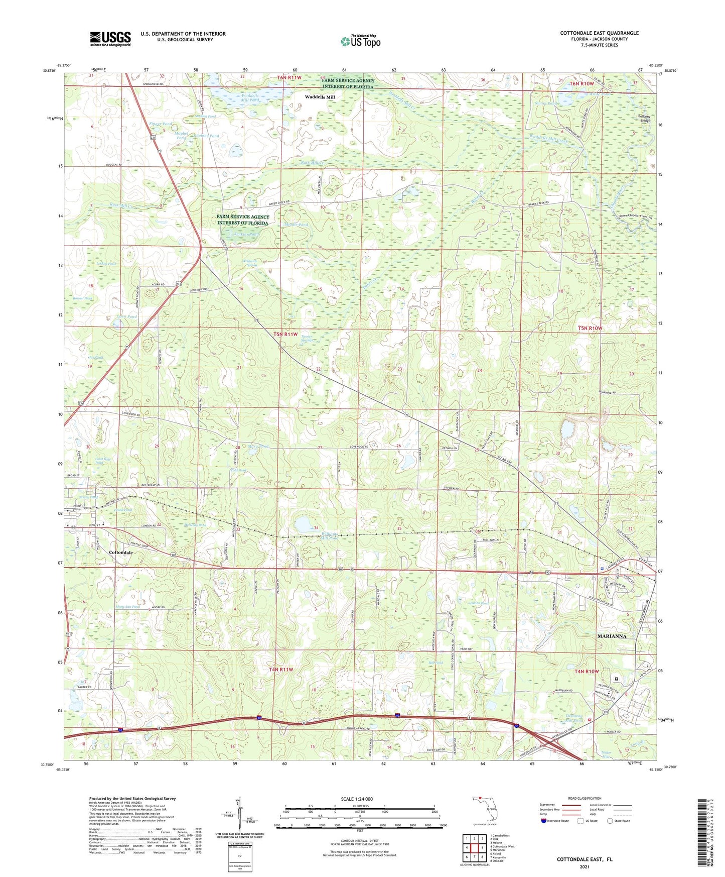
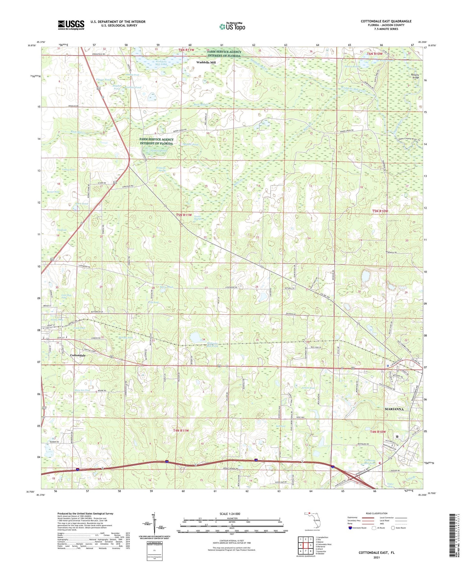
2024 topographic map quadrangle Cottondale East in the state of Florida. Scale: 1:24000. Based on the newly updated USGS 7.5' US Topo map series, this map is in the following counties: Jackson. The map contains contour data, water features, and other items you are used to seeing on USGS maps, but also has updated roads and other features. This is the next generation of topographic maps. Printed on high-quality waterproof paper with UV fade-resistant inks.
Quads adjacent to this one:
West: Cottondale West
Northwest: Campbellton
North: Sills
Northeast: Malone
East: Marianna
Southeast: Oakdale
South: Kynesville
Southwest: Alford
This map covers the same area as the classic USGS quad with code o30085g3.
Contains the following named places: Aero-Custom Airport, Antioch Church, Baker Creek, Bell Pond, Bellamy Bridge, Bethlehem School, Bonnet Pond, Caney Pond, Caraway Mill Pond, Cold Pond, Cottondale Elementary School, Cottondale High School, Dozier Training School, Finger Pond, Frank Pond, Gnat Hole Pond, Guy Pond, Jackson County Correctional Facility, Jackson County Sheriff's Office, Jenkins Pond, Lockey Pond, Longview School, Magnolia Church, Marianna Fire Control Headquarters Fire Tower, Marianna Fire Department Station 16, Mary Ann Pond, Mary Pond, Maybet Pond, McNealy Pond, Middle Pond, Mount Ararat Church, New Hope Church, Open Pond, Red Pond, Roulac Pond, Roulhac Pond, Russ Mill Creek, Saint Johns School, School Number 2, Snelling Pond, Springfield School, Swain Pond, Tanner Springs, Town of Cottondale, Waddells Mill, Waddells Mill Creek, Waddells Mill Pond, Webbville Spring, White Pond, Williams Mill Pond, WJAQ-FM (Marianna), WTOT-AM (Marianna), ZIP Code: 32447


