
MyTopo
Mayo NE Florida US Topo Map
Couldn't load pickup availability
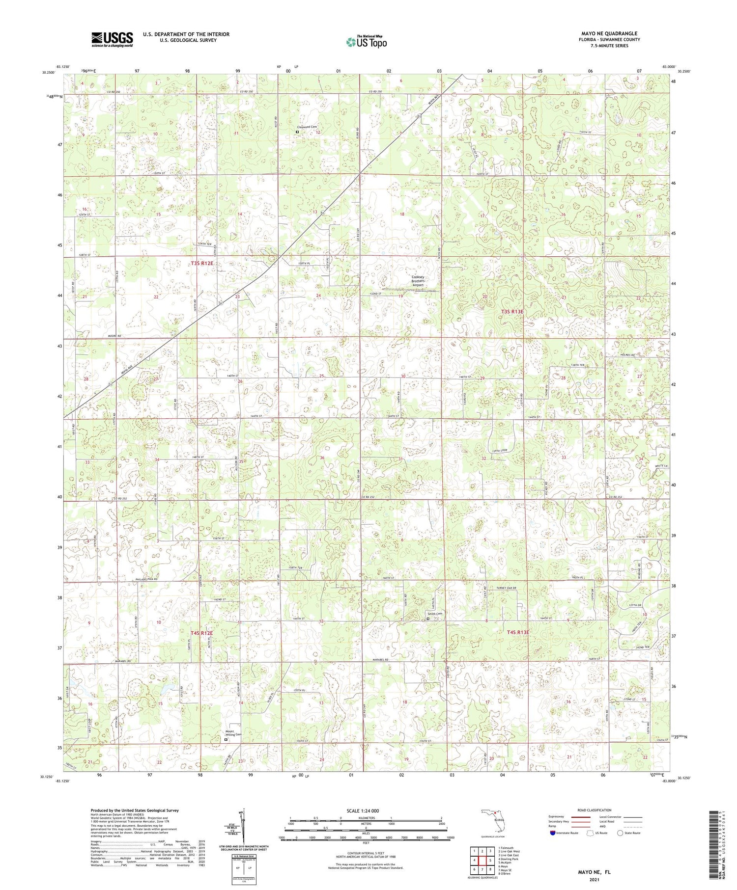
2024 topographic map quadrangle Mayo NE in the state of Florida. Scale: 1:24000. Based on the newly updated USGS 7.5' US Topo map series, this map is in the following counties: Suwannee. The map contains contour data, water features, and other items you are used to seeing on USGS maps, but also has updated roads and other features. This is the next generation of topographic maps. Printed on high-quality waterproof paper with UV fade-resistant inks.
Quads adjacent to this one:
West: Dowling Park
Northwest: Falmouth
North: Live Oak West
Northeast: Live Oak East
East: McAlpin
South: Mayo SE
Southwest: Mayo
This map covers the same area as the classic USGS quad with code o30083b1.
Contains the following named places: Claywood Cemetery, Claywood Church, Cooksey Brothers Airport, Friendship Church, Mount Willing Cemetery, New Zion Church, Philadelphia Church, Queens Chapel, Saint James School, San Pedro Poturiba, Shiloh School, Smith Cemetery


