MyTopo
Ozello Florida US Topo Map
Couldn't load pickup availability
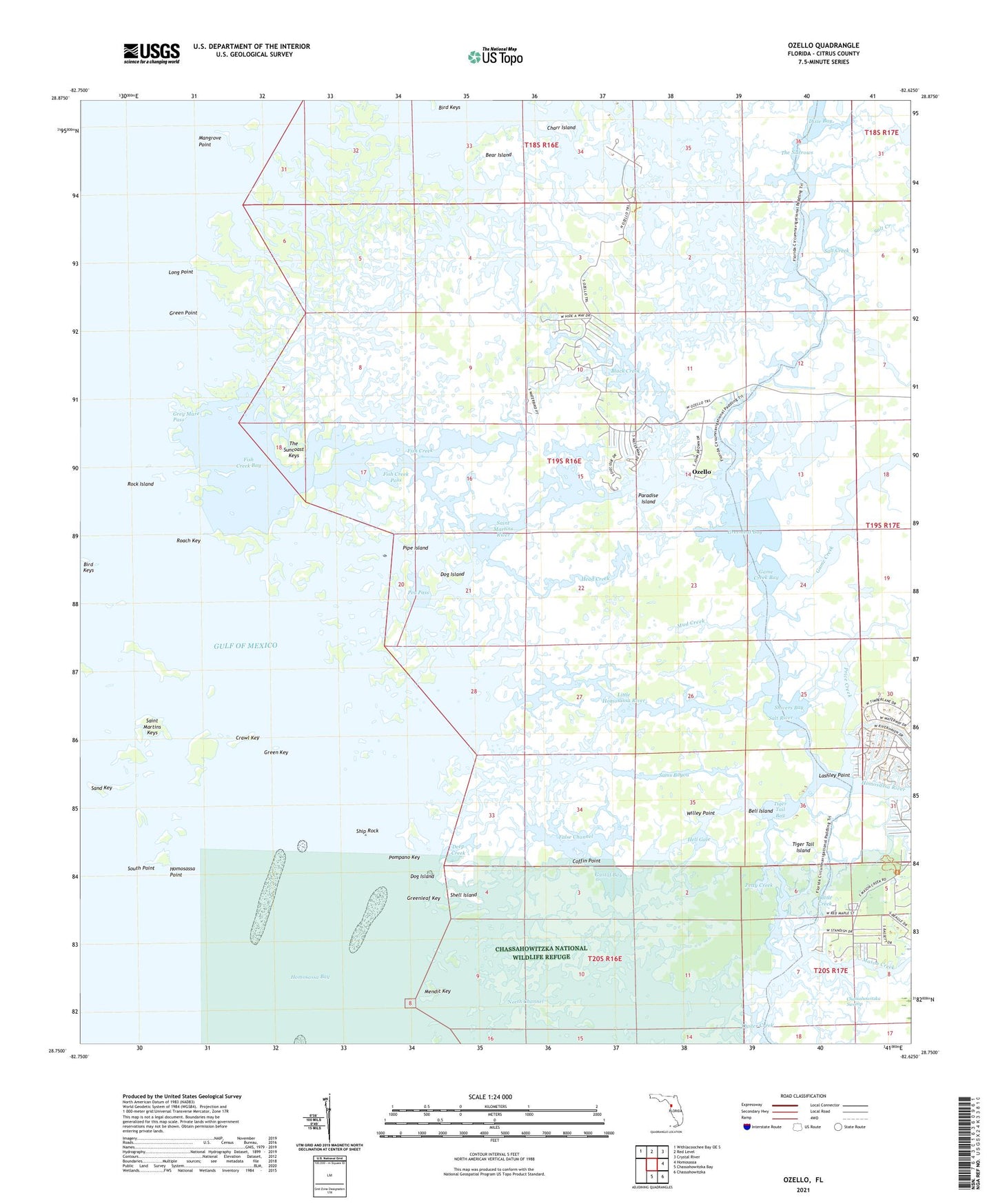
2025 topographic map quadrangle Ozello in the state of Florida. Scale: 1:24000. Based on the newly updated USGS 7.5' US Topo map series, this map is in the following counties: Citrus. The map contains contour data, water features, and other items you are used to seeing on USGS maps, but also has updated roads and other features. This is the next generation of topographic maps. Printed on high-quality waterproof paper with UV fade-resistant inks.
Quads adjacent to this one:
Northwest: Withlacoochee Bay OE S
North: Red Level
Northeast: Crystal River
East: Homosassa
Southeast: Chassahowitzka
South: Chassahowitzka Bay
This map covers the same area as the classic USGS quad with code o28082g6.
Contains the following named places: Battle Creek, Bear Island, Beli Island, Bird Keys, Black Creek, Charr Island, Citrus County Fire Rescue Station 11, Coffin Point, Crawl Key, Crystal River Division, Deep Creek, Dog Island, False Channel, Fish Creek, Fish Creek Bay, Fish Creek Pass, Game Creek, Game Creek Bay, Green Key, Green Point, Greenleaf Bay, Greenleaf Key, Grey Mare Pass, Gustaf Bay, Head Creek, Hell Gate, Homosassa Point, Homosassa River, Lashley Point, Little Homosassa River, Long Point, Mangrove Point, Mason Creek, Mendit Key, Mud Creek, North Channel, Ozello, Paradise Island, Pea Pass, Petty Creek, Pipe Island, Pompano Key, Port Richey Shopping Village, Price Creek, Roach Key, Rock Island, Saint Martins Keys, Saint Martins Marsh Aquatic Preserve, Saint Martins River, Salt Creek, Salt River, Sams Bayou, Sand Key, Shell Island, Ship Rock, Shivers Bay, South Point, The Narrows, The Suncoast Keys, Tiger Tail Bay, Tiger Tail Island, Willey Point, ZIP Codes: 34429, 34448


