MyTopo
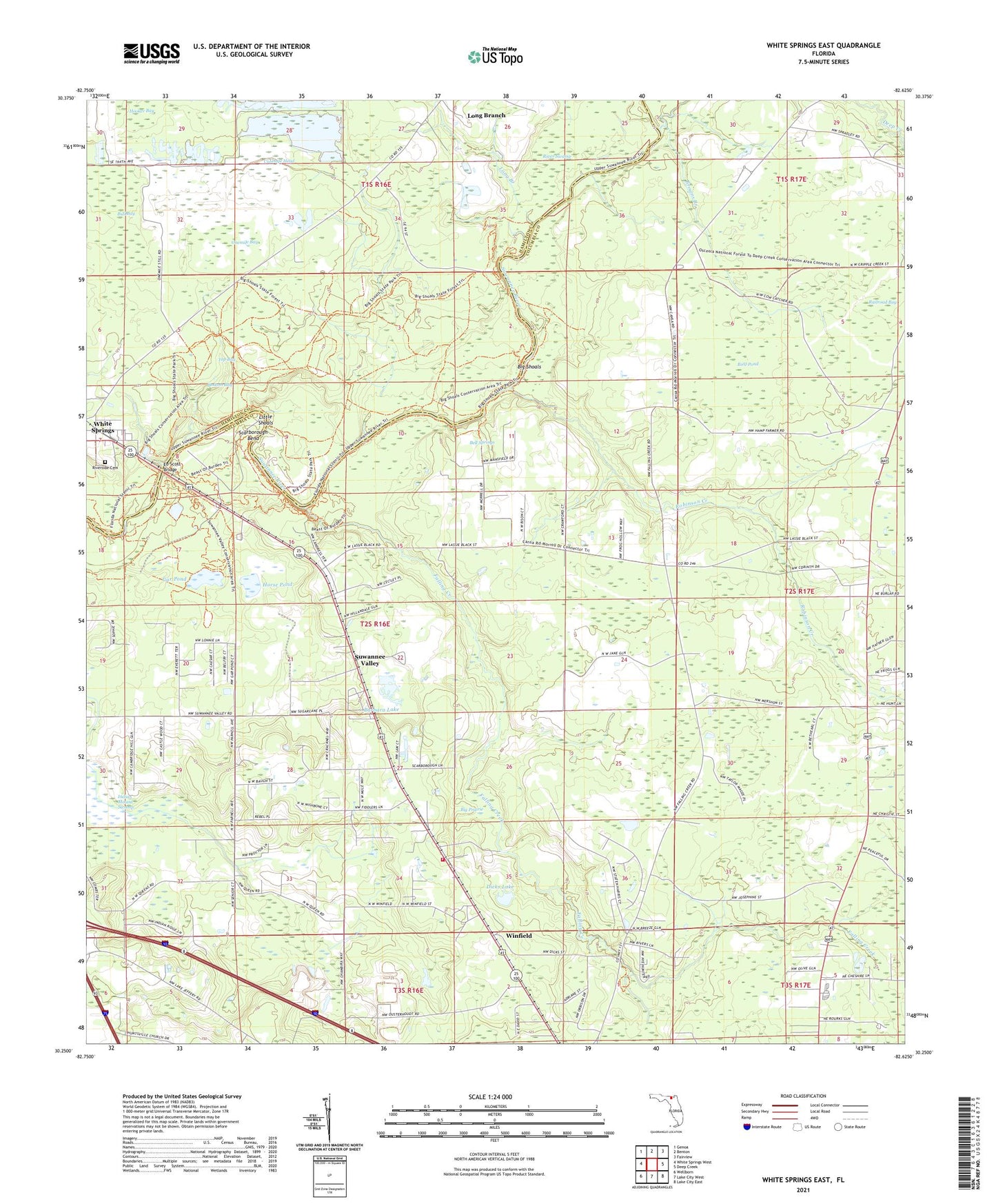
White Springs East Florida US Topo Map
Couldn't load pickup availability
Also explore the White Springs East Forest Service Topo of this same quad for updated USFS data
2024 topographic map quadrangle White Springs East in the state of Florida. Scale: 1:24000. Based on the newly updated USGS 7.5' US Topo map series, this map is in the following counties: Columbia, Hamilton. The map contains contour data, water features, and other items you are used to seeing on USGS maps, but also has updated roads and other features. This is the next generation of topographic maps. Printed on high-quality waterproof paper with UV fade-resistant inks.
Quads adjacent to this one:
West: White Springs West
Northwest: Genoa
North: Benton
Northeast: Fairview
East: Deep Creek
Southeast: Lake City East
South: Lake City West
Southwest: Wellborn
This map covers the same area as the classic USGS quad with code o30082c6.
Contains the following named places: Barbara Lake, Bell Springs, Big Prairie, Big Shoals, Big Shoals State Park, Bird Pond, Bottom Bay, Browns Branch, Browns Landing, Bull Bay, Cabbage Head, Carver High School, Corinth Church, Deep Creek, Deep Creek Church, Dicks Lake, Ed Scott Bridge, Falling Creek, Falling Creek Church, Four Mile Branch, Gar Pond, Horse Pond, Indian Mound Swamp, Little Shoals, Long Branch, McAlpin Landing, New Hope Church, New Hope School, New Mount Zion Church, Onemile Bay, Railroad Bay, River Swamp, Riverside Cemetery, Robinson Creek, Saint James Church, Saint Paul Missionary Baptist Church, Saint Pauls Church, Scarborough Bend, Suwannee Valley, Suwannee Valley Volunteer Fire Department Station 42, Top Bay, Union Church, Waldron Landing, Winfield


