MyTopo
Butler West Georgia US Topo Map
Couldn't load pickup availability
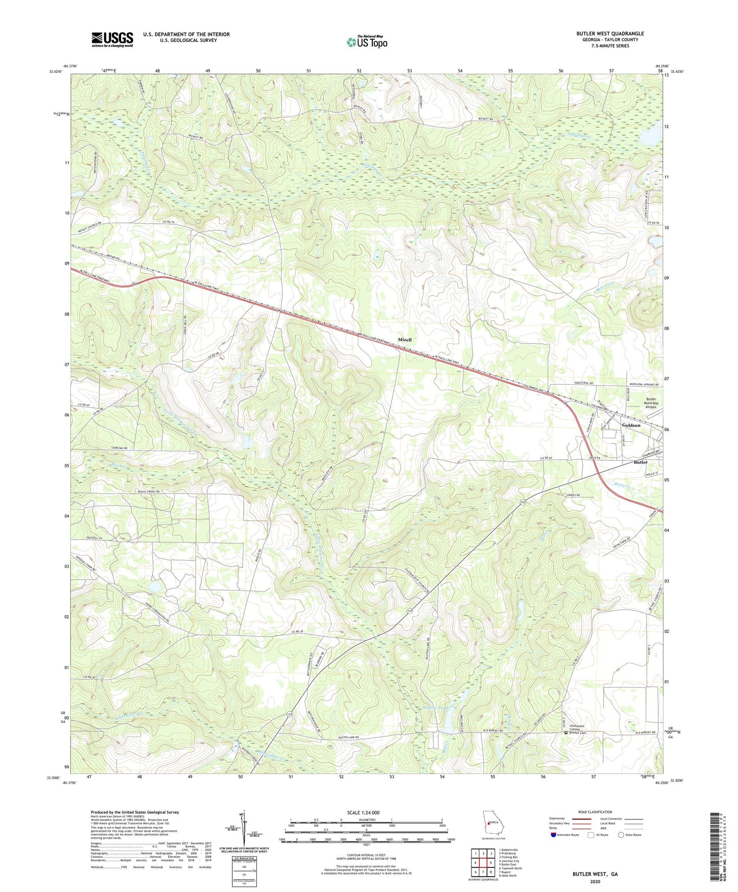
2024 topographic map quadrangle Butler West in the state of Georgia. Scale: 1:24000. Based on the newly updated USGS 7.5' US Topo map series, this map is in the following counties: Taylor. The map contains contour data, water features, and other items you are used to seeing on USGS maps, but also has updated roads and other features. This is the next generation of topographic maps. Printed on high-quality waterproof paper with UV fade-resistant inks.
Quads adjacent to this one:
West: Junction City
Northwest: Baldwinville
North: Prattsburg
Northeast: Fickling Mill
East: Butler East
Southeast: Ideal North
South: Rupert
Southwest: Tazewell North
This map covers the same area as the classic USGS quad with code o32084e3.
Contains the following named places: Beulahland Church, Black Creek, Butler-Rupert Division, Goldson, Lieutenant Colonel Brewer Cemetery, Mill Creek, Mizell, Pilgrim Rest Church, Rustins Pond, Rustins Pond Dam, Taylor County, Western Pre-Release Center, ZIP Code: 31006