MyTopo
Cedar Grove Georgia US Topo Map
Couldn't load pickup availability
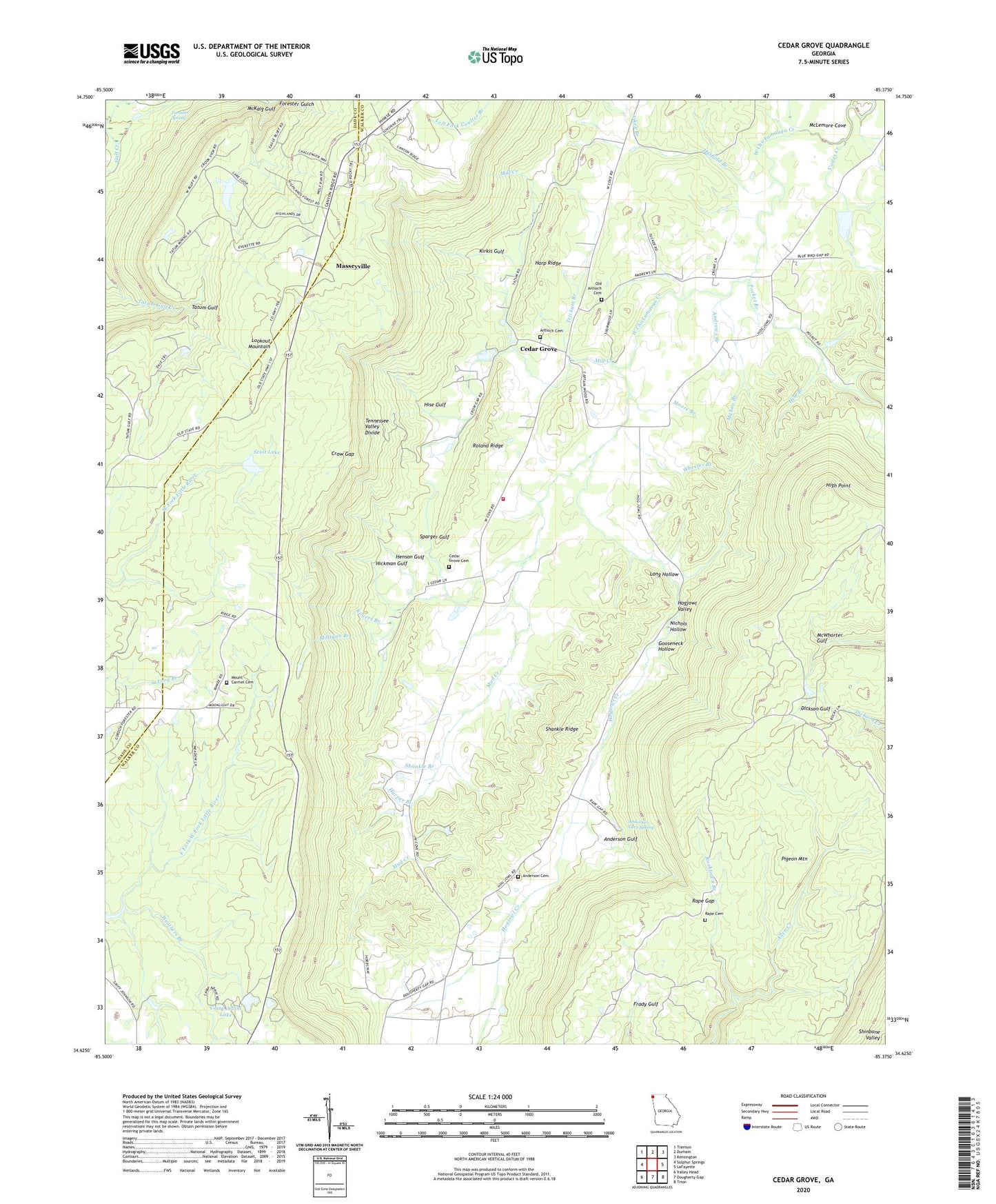
2024 topographic map quadrangle Cedar Grove in the state of Georgia. Scale: 1:24000. Based on the newly updated USGS 7.5' US Topo map series, this map is in the following counties: Walker, Dade. The map contains contour data, water features, and other items you are used to seeing on USGS maps, but also has updated roads and other features. This is the next generation of topographic maps. Printed on high-quality waterproof paper with UV fade-resistant inks.
Quads adjacent to this one:
West: Sulphur Springs
Northwest: Trenton
North: Durham
Northeast: Kensington
East: LaFayette
Southeast: Trion
South: Dougherty Gap
Southwest: Valley Head
This map covers the same area as the classic USGS quad with code o34085f4.
Contains the following named places: Aiken Branch, Anderson Cave Spring, Anderson Cemetery, Anderson Gulf, Andrews Branch, Antioch Cemetery, Antioch Church, Camp Adahi, Camp Adahi Lake, Camp Adahi Lake Dam, Cedar Grove, Cedar Grove Camp Ground, Cedar Grove Cemetery, Cedar Grove Church, Cedar Grove School, Cloudland Canyon State Park, Crow Gap, Forester Spring, Gooseneck Hollow, Harp Ridge, Harper Branch, Hatfield Branch, Henson Gulf, Hickman Gulf, High Point, Hise Branch, Hise Gulf, Hogjowl Creek, Hogjowl Valley, Kensington Division, Kirkis Gulf, Long Hollow, Lookout Mountain Division, Mahan, Mahan Branch, Masseyville, McCutchen, McKaig Gulf, McLemore Cove, Mill Creek, Milligan Branch, Moore Branch, Mount Carmel Cemetery, Mount Carmel Church, Mount Cove Airport, Mount Hermon Church, Mountain Cove Farms, Mountain View Farms, Mud Creek, Nichols Hollow, Old Antioch Cemetery, Pigeon Mountain, Pocket Branch, Rape Cemetery, Rape Gap, Rocktown Branch, Rogers Branch, Roland Ridge, Saint Marys Institute, Scott Lake, Shankle Branch, Shankle Ridge, Sparger Gulf, Tennessee Valley Divide, Trickum Branch, Voiles Creek, Walker County Emergency Services Fire Station 12, Weathers Branch, Webb Creek, Wheeler Branch


