MyTopo
Sulphur Springs Alabama US Topo Map
Couldn't load pickup availability
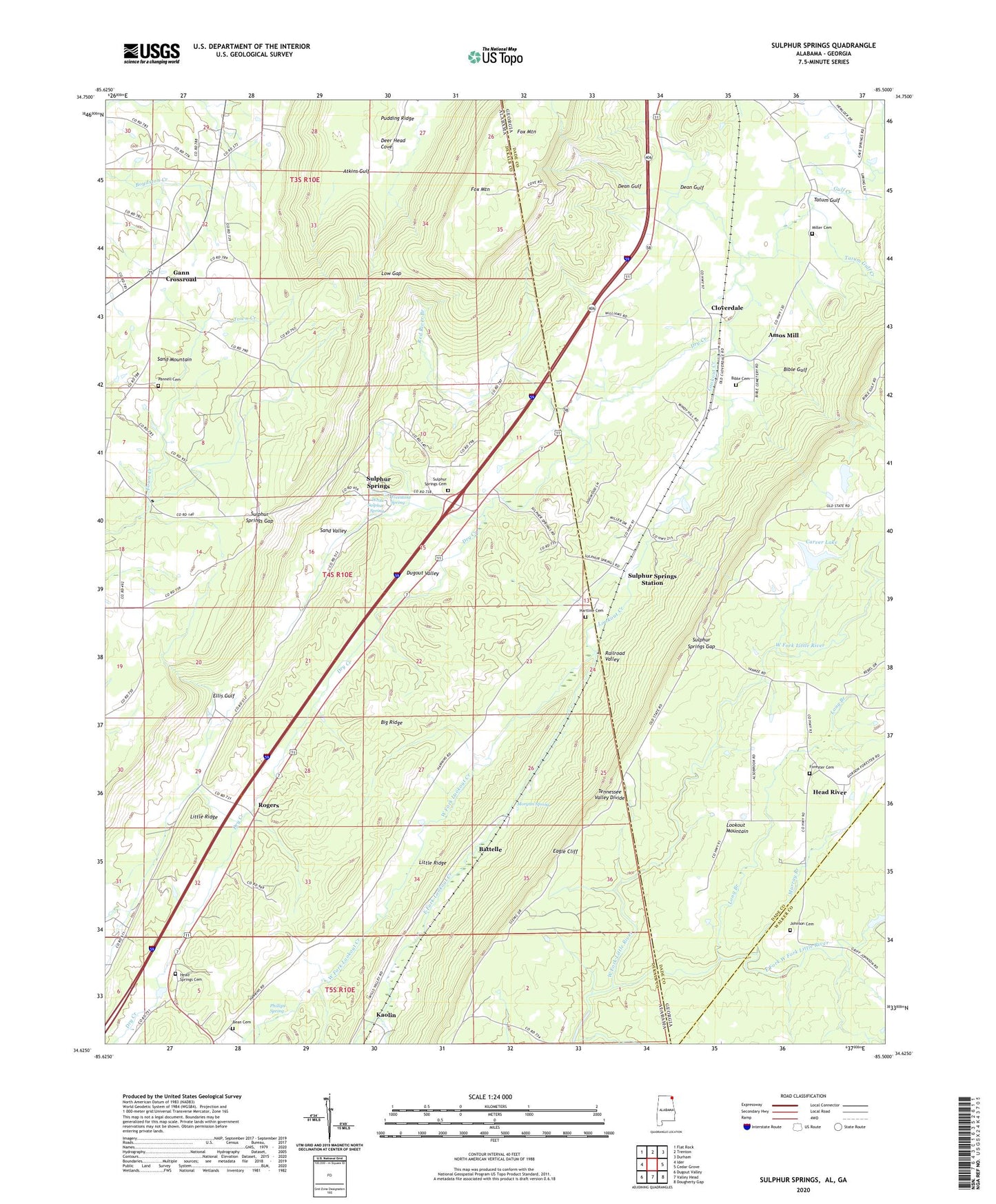
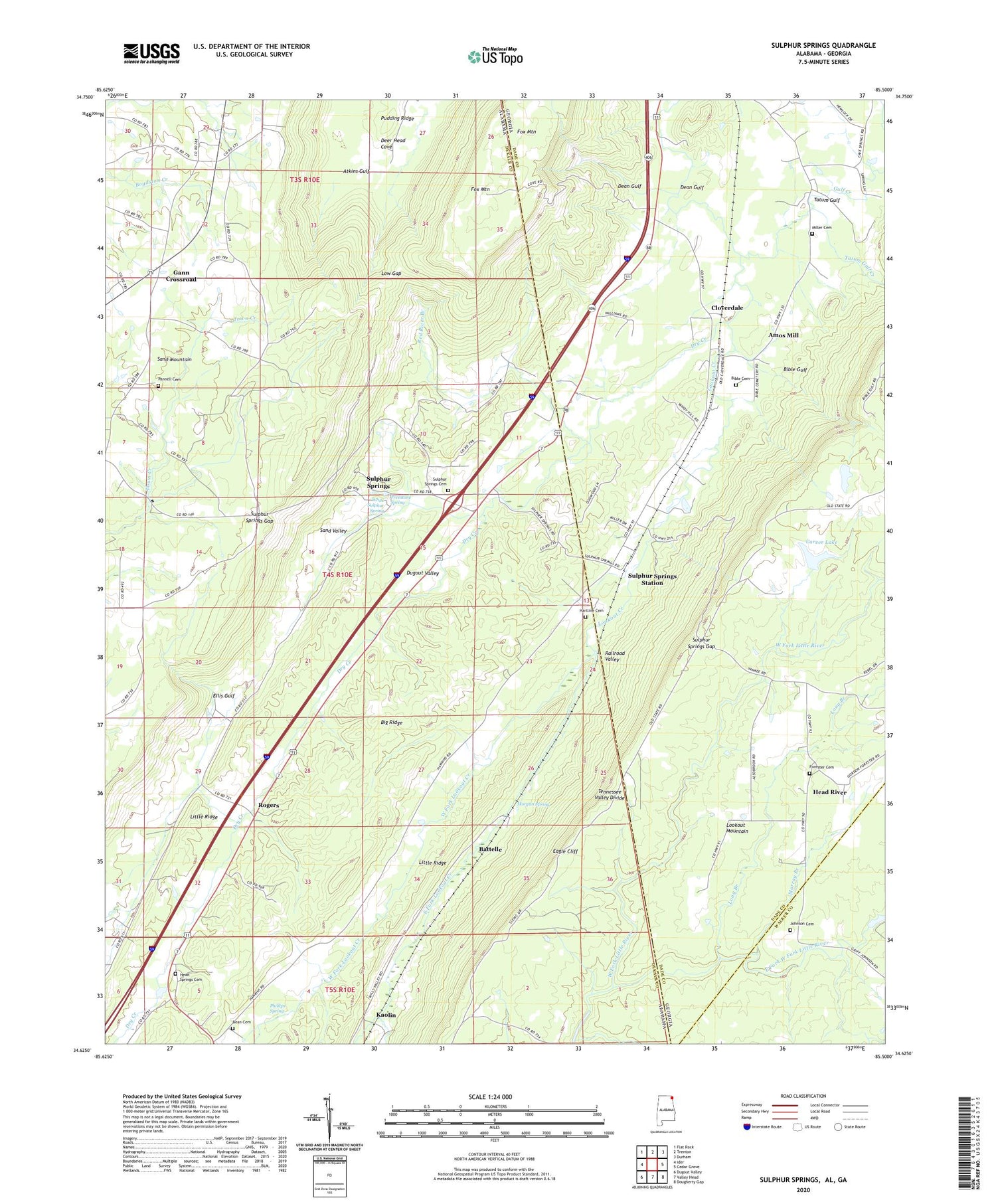
2024 topographic map quadrangle Sulphur Springs in the states of Alabama, Georgia. Scale: 1:24000. Based on the newly updated USGS 7.5' US Topo map series, this map is in the following counties: DeKalb, Dade, Walker. The map contains contour data, water features, and other items you are used to seeing on USGS maps, but also has updated roads and other features. This is the next generation of topographic maps. Printed on high-quality waterproof paper with UV fade-resistant inks.
Quads adjacent to this one:
West: Ider
Northwest: Flat Rock
North: Trenton
Northeast: Durham
East: Cedar Grove
Southeast: Dougherty Gap
South: Valley Head
Southwest: Dugout Valley
Contains the following named places: Amos Mill, Annawaka Post Office, Atkins Gulf, Battelle, Battelle Mines, Bean Cemetery, Bethlehem Church, Bible Cemetery, Bible Gulf, Calvary Church, Camp Elizabeth Lupton, Carver Lake, Carver Lake Dam, Cloverdale, Cloverdale Baptist Church, Dean Gulf, Dry Creek, Dugout Valley, Eagle Cliff, East Fork Lookout Creek, East Fork West Fork Little River, Ellis Gulf, Forester Cemetery, Fox Mountain, Freestone Spring, Gann Crossroad, Green Pond, Gulf Creek, Harmony Grove Church, Hartline Cemetery, Head River, Head River Baptist Church, Head River School, Head Springs Cemetery, Head Springs Church, Ider Church, Johnson Cemetery, Kaolin, Little Ridge, Long Branch, Lookout Chapel, Lookout Chapel School, Low Gap, Miller Cemetery, Morgan Spring, Murray Branch, Pannell Cemetery, Phillips Spring, Ponderosa Bible Camp, Red River Branch, Rogers, Seventh Day Adventist Church, Smith Chapel, State Line Church, Sulphur Springs, Sulphur Springs Academy, Sulphur Springs Cemetery, Sulphur Springs Church, Sulphur Springs Gap, Sulphur Springs Post Office, Sulphur Springs Station, Tatum Gulf, Tatum Gulf Creek, West Fork Lookout Creek, White Sulphur Spring


