MyTopo
Cleveland Georgia US Topo Map
Couldn't load pickup availability
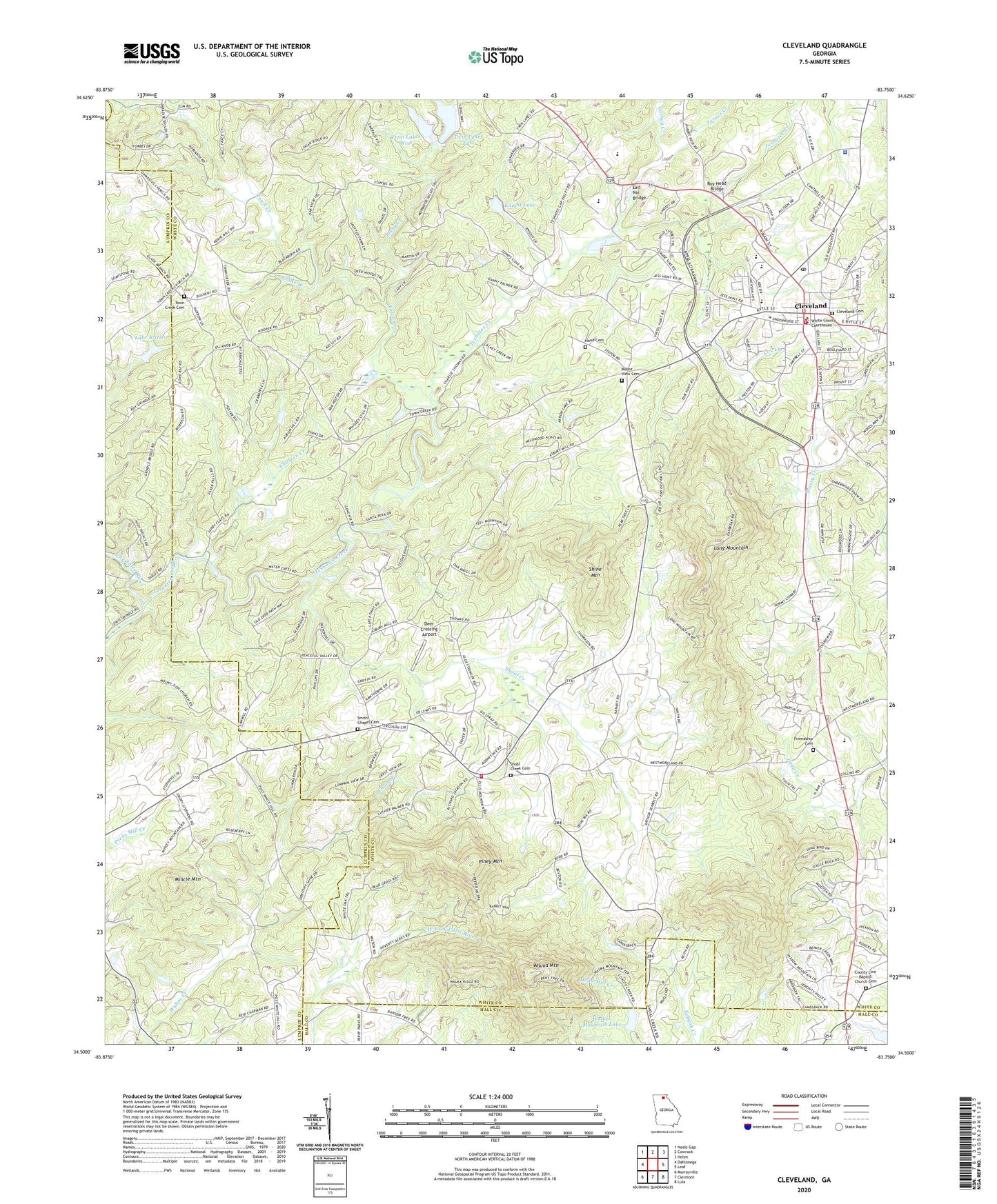
2024 topographic map quadrangle Cleveland in the state of Georgia. Scale: 1:24000. Based on the newly updated USGS 7.5' US Topo map series, this map is in the following counties: White, Lumpkin, Hall. The map contains contour data, water features, and other items you are used to seeing on USGS maps, but also has updated roads and other features. This is the next generation of topographic maps. Printed on high-quality waterproof paper with UV fade-resistant inks.
Quads adjacent to this one:
West: Dahlonega
Northwest: Neels Gap
North: Cowrock
Northeast: Helen
East: Leaf
Southeast: Lula
South: Clermont
Southwest: Murrayville
This map covers the same area as the classic USGS quad with code o34083e7.
Contains the following named places: Black Lake, Black Lake Dam, Bolton Lake, Bolton Lake Dam, Camp Barney Medintz, Cathey Creek, Chateen Creek, City of Cleveland, Cleveland, Cleveland Cemetery, Cleveland City Hall, Cleveland Division, Cleveland Fire Department, Cleveland Police Department, Cleveland Post Office, Colonial Shopping Center, County Line Baptist Church Cemetery, County Line Church, Cox Creek, Deer Crossing Airport, Earl Nix Bridge, Emmanuel Gospel Church, Friendship Cemetery, Friendship Church, Gateway Shopping Center, Glade Branch, Grace, Grace School, Hills Lake, Hills Lake Dam, Hood Cemetery, Jack P Nix Primary School, Jenny Creek, Knight Lake, Knight Lake Dam, Lake Arthur, Lake Arthur Dam, Long Mountain, Mincle Mountain, Mossy Creek Elementary School, Mount View Cemetery, Mount View Church, Oculus, Piney Mountain, Pleasant Retreat, Roy Head Bridge, Shine Mountain, Shoal Creek, Shoal Creek Cemetery, Shoal Creek Church, Shoal Creek School, Smith Lake, Smith Lake Dam, Smiths Chapel, Smiths Chapel Cemetery, Tesnatee, Tesnatee Creek, Town Creek, Town Creek Cemetery, Town Creek Church, Turner Creek, Twin Lakes, Twin Lakes East, Twin Lakes East Dam, Twin Lakes West, Twin Lakes West Dam, Village Shopping Center, Walker Mountain Lake, Walker Mountain Lake Dam, Wauka Mountain, White County Courthouse, White County Fire Department Station 1, White County Fire Department Station 5, White County High School, White County Intermediate School, White County Jail, White County Library, White County Middle School, White County Ninth Grade Academy, White County Sheriff's Department, WRWH-AM (Cleveland), Zion Church, ZIP Code: 30528


