MyTopo
Clermont Georgia US Topo Map
Couldn't load pickup availability
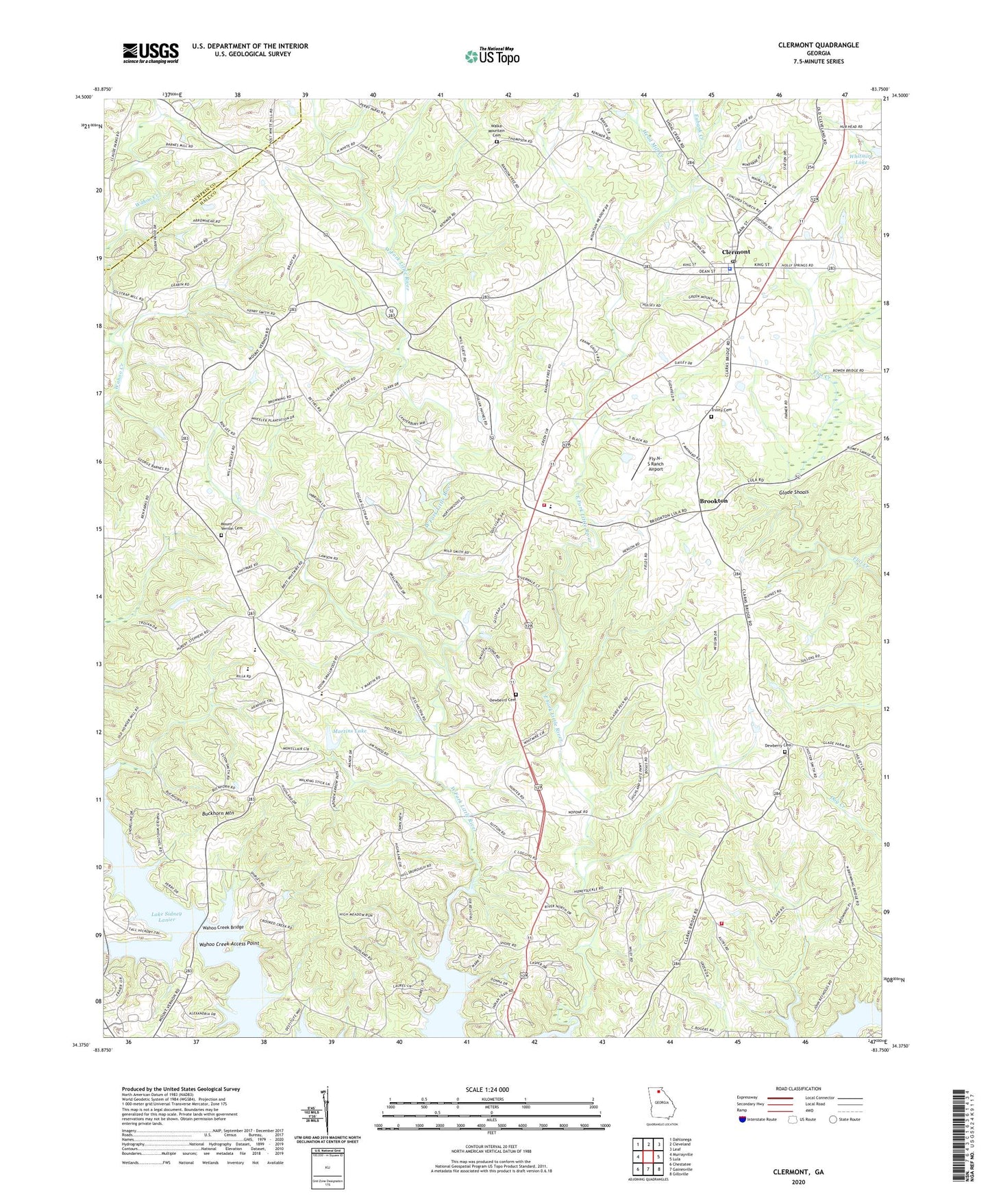
2024 topographic map quadrangle Clermont in the state of Georgia. Scale: 1:24000. Based on the newly updated USGS 7.5' US Topo map series, this map is in the following counties: Hall, Lumpkin. The map contains contour data, water features, and other items you are used to seeing on USGS maps, but also has updated roads and other features. This is the next generation of topographic maps. Printed on high-quality waterproof paper with UV fade-resistant inks.
Quads adjacent to this one:
West: Murrayville
Northwest: Dahlonega
North: Cleveland
Northeast: Leaf
East: Lula
Southeast: Gillsville
South: Gainesville
Southwest: Chestatee
This map covers the same area as the classic USGS quad with code o34083d7.
Contains the following named places: Bear Creek, Beaver Pond, Bethel Church, Brookton, Brookwood, Buckhorn Mountain, Chattahoochee Christian School, Cherokee Gun Club Range, Christian Church, Christian Hall Church, Clarks Bridge Place, Clermont, Clermont Division, Clermont Post Office, Clermont Residential Historic District, Concord Cemetery, Cross Road Church, Destitute Acres, Devane, Dewberry Cemetery, Dewberry Church Number 1, Dewberry Church Number 2, Eubank Creek, Fly-N-S Ranch Airport, Full Gospel Tabernacle, Glade Shoals, Gospel Assembly Church, Hall County Fire Station 15, Hall County Fire Station 2, Hall County Sheriff's Office, Hargrove, Harkins Mill, Head Mill Creek, Heather Heights, Hidden Acres, Lake Haven, Lake Watch, Land, Lawson Highlands, Martins Lake, Martins Lake Dam, McCrary, Mount Vernon Cemetery, Mount Vernon Church, Mount Vernon Elementary School, Mount Vernon School, Nopone Lookout Tower, North Hall High School, North Hall Middle School, North Hall School, Oak Harbor, River Run, Squirrel Creek, Straightway Church, Town of Clermont, Trinity Cemetery, Trinity Church, Wahoo Church, Wahoo Creek Access Point, Wahoo Creek Bridge, Wahoo School, Walden Woods, Walka Mountain Cemetery, Walka Mountain Church, Wauka Mountain Elementary School, Whelchel, Whitmire, Whitmire Lake, ZIP Code: 30527


