MyTopo
Cumming Georgia US Topo Map
Couldn't load pickup availability
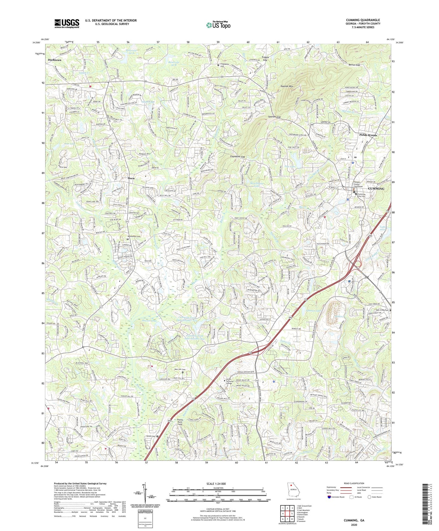
2024 topographic map quadrangle Cumming in the state of Georgia. Scale: 1:24000. Based on the newly updated USGS 7.5' US Topo map series, this map is in the following counties: Forsyth. The map contains contour data, water features, and other items you are used to seeing on USGS maps, but also has updated roads and other features. This is the next generation of topographic maps. Printed on high-quality waterproof paper with UV fade-resistant inks.
Quads adjacent to this one:
West: Birmingham
Northwest: Ball Ground East
North: Matt
Northeast: Coal Mountain
East: Buford Dam
Southeast: Suwanee
South: Duluth
Southwest: Roswell
This map covers the same area as the classic USGS quad with code o34084b2.
Contains the following named places: Abundant Life Assembly Church, Bennett Business Park, Bentley Creek, Bethelview Church, Bethlehem Cemetery, Bethlehem Church, Bettes Gap, Brandywine Baptist Church, Brandywine Community House, Castleberry Road Baptist Church, Chamblee Gap, Cheatam Creek, Church of God, City of Cumming, Cobb Creek, Common People Baptist Church, Congregational Holiness Church, Creekside United Methodist Church, Cumming, Cumming 400 Shopping Center, Cumming City Cemetery, Cumming City Hall, Cumming City Jail, Cumming City Park, Cumming Division, Cumming Elementary School, Cumming First Methodist Church, Cumming Forsyth Chamber of Commerce, Cumming Industrial Park, Cumming Marketplace Shopping Center, Cumming Police Department, Cumming Post Office, Cumming School, Cumming Senior Center, Cumming Twin Lake Number One, Cumming Twin Lake Number One Dam, Cumming Twin Lake Number Two, Cumming Twin Lake Number Two Dam, Cumming Twin Lakes, Cummings Fire Station, Daves Creek Church, Daves Creek Elementary School, Drew, Ducktown, Ducktown School, Dunn, Fields of the Woods Church, First Baptist Church, First Christian Church, Forsyth Academy, Forsyth Central High School, Forsyth County, Forsyth County Administration Building, Forsyth County Courthouse, Forsyth County Detention Center, Forsyth County Fire Department Station 1, Forsyth County Fire Department Station 13, Forsyth County Fire Department Station 14, Forsyth County Fire Department Station 2, Forsyth County Fire Department Station 4, Forsyth County Fire Department Station 6, Forsyth County Library, Forsyth County Sheriff Department Headquarters, Forsyth County Sheriff Precinct Number 1, Forsyth County Sheriff Precinct Number 2, Forsyth County Sheriff's Office - Detention Center, Forsyth Industrial Park, Friendship Cemetery, Friendship Church, Friendship School, George W Whitlow Elementary School, Greens Corners Shopping Center, Harris Creek, Haw Creek Cemetery, Haw Creek Church, Ivy League Montessori School, Johnsen Dam, Johnsen Lake, Kelley Mill Branch, Kingdom Hall Church, Kingdom Hall of Jehovahs WItnesses, Lake Alice, Lakeland Plaza Shopping Center, Lakeside Community Hospital, Lanier Crossing Shopping Center, Lanier Technical College Forsyth Campus, Lanier Village Shopping Center, Longstreet Church, Longstreet Fish Hatchery, Mars Hill Cemetery, Mars Hill Crossroads, McFarland Four Hundred Industrial Park, Mcwilliams Lake, Mcwilliams Lake Dam, Meadow Walk Shopping Center, Merchants Square Shopping Center, Midway Church, Midway Elementary School, Midway Park, Montessori School of Cumming, New Light Church, North Calvary Chapel, North Cumming Corners Shopping Center, North Cumming Shopping Center, North Four Hundred Industrial Park, North Lanier Baptist Church, Northgate Four Hundred Industrial Park, Northside Hospital Forsyth Campus, Odum Lake, Otwell Middle School, Pendley Industrial Park, Pilgrim Mill Square Shopping Center, Pine Crest Baptist Church, Pine Lake, Pine Lake Dam, Pinecrest Academy, Piney Grove Middle School, Pirkle Woods, Pleasant View Church, Presbyterian Church, Reservoir 30-A, Reservoir 30-B, Sawmill Branch, Sawnee Elementary School, Sawnee Gap, Sawnee Lake, Sawnee Lake Dam, Sawnee Mountain, Sawnee Primary School, Sawnee View Church, Settingdown Creek Structure 30-A Dam, Settingdown Creek Structure 30-B Dam, Shiloh Cemetery, Shiloh Church, Shiloh Point Elementary School, South Forsyth High School, Stoney Point Field, The Polo Fields, Tribble Gap, Tri-County Plaza Shopping Center, Trotters Creek Industrial Park, Twenty West Industrial Park, Vickery Creek Elementary School, Vickery Creek Middle School, West Forsyth High School, WHNE-AM (Cumming), Wilkie, Wilkie Dam, WWEV-FM (Cumming), ZIP Code: 30040


