MyTopo
Dalton North Georgia US Topo Map
Couldn't load pickup availability
Also explore the Dalton North Forest Service Topo of this same quad for updated USFS data
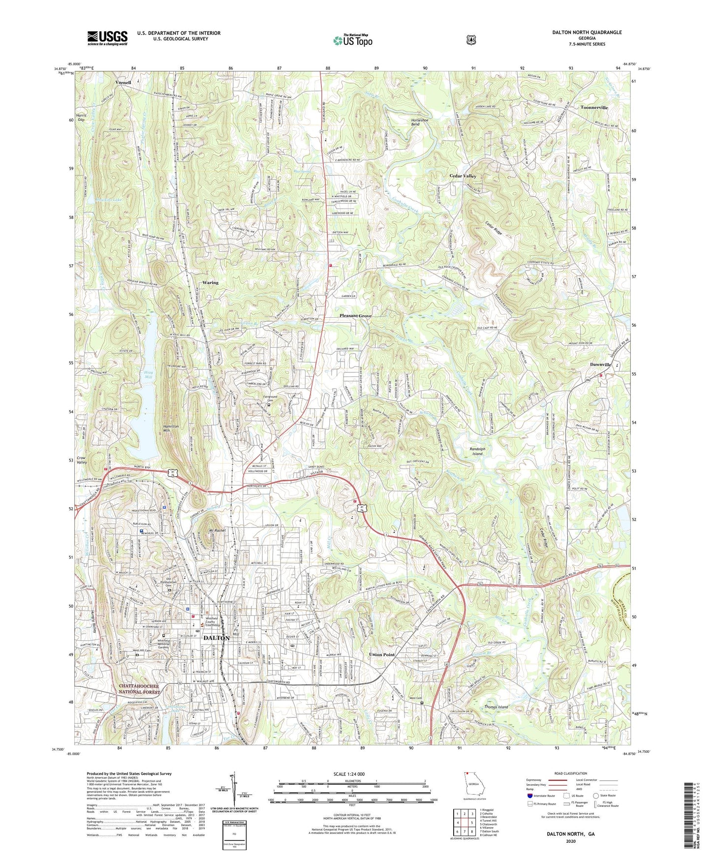
2024 topographic map quadrangle Dalton North in the state of Georgia. Scale: 1:24000. Based on the newly updated USGS 7.5' US Topo map series, this map is in the following counties: Whitfield, Murray. The map contains contour data, water features, and other items you are used to seeing on USGS maps, but also has updated roads and other features. This is the next generation of topographic maps. Printed on high-quality waterproof paper with UV fade-resistant inks.
Quads adjacent to this one:
West: Tunnel Hill
Northwest: Ringgold
North: Cohutta
Northeast: Beaverdale
East: Chatsworth
Southeast: Calhoun NE
South: Dalton South
Southwest: Villanow
This map covers the same area as the classic USGS quad with code o34084g8.
Contains the following named places: Alts Mill, Atcooga Presbyterian Church, Atcooga School, Bates Branch, Bethel African Methodist Episcopal Church, Bethel Church, Blue Ridge Elementary School, Blue Spring, Boylston Crown School, Brookwood Elementary School, Brymans Plaza Shopping Center, Calvary Church, Cannon Heights, Cedar Ridge, Cedar Valley, Cedar Valley Christian Academy, Cedar Valley Church, Central Church of Christ, Cherokee Boys Camp, Christian Heritage School, Church of Christ, Church of God, Church of the Nazarene, City of Dalton, City Park Elementary School, City Park School, Crawford High School, Crow Valley, Crow Valley Creek, Crown School, Crown View Baptist Church, Dalton, Dalton City Hall, Dalton Civic Park, Dalton Commercial Historic District, Dalton Division, Dalton Fire Department Station 1, Dalton Fire Department Station 2, Dalton Fire Department Station 3, Dalton Grade School, Dalton High School, Dalton Middle School, Dalton Police Department, Dalton Post Office, Dalton Public Library, Dalton Quarry, Dalton Rock Products Lake, Dalton Rock Products Lake Dam, Dalton Shopping Center, Dawn Rest Cemetery, Dawnville, Dawnville Cemetery, Dawnville Elementary School, Dawnville Methodist Church, East Side Post Office, Eastside Baptist Church, Eastside Elementary School, Eleventh Avenue Baptist Church, Emory Street High School, Emory Street Public School, Fairground Cemetery, Fairground Church, Farrar Branch, Fillmore, First Baptist Church of Dalton, First Methodist Church, First Presbyterian Church, Folsom Branch, Fort Hill, Fort Hill Elementary School, Fort Hill Junior High School, Fort Hill School, Freedom Baptist Church, Friendship Church, Glenwood Shopping Center, Good Samaritan Church, Green Street Baptist Church, Grove Level Church, Haig Mill Creek, Haig Mill Dam, Haig Mill Lake, Hamilton Medical Center, Hamilton Medical Center Heliport, Hamilton Mountain, Hamilton Street Methodist Episcopal Church South, Hammond Creek, Harmon Field, Harmony Church, Harmony Grove Church, Hawkins Lake, Hiag Mill, Hopewell Church, Horseshoe Bend, Hungry Valley, Kenyon Creek, Ketchum Branch, Lake Shore Park, Lakeshores Lake, Lakeshores Lake Dam, Learning Tree Elementary School, Liberty Baptist Church, Liberty Church, Logan Branch, Macedomia Church, Macedonia Church, Maddox Chapel, Maple Grove Church, McLellan Creek, Mill Creek, Mill Creek Watershed Dam Number Nine, Mill Creek Watershed Dam Number Two, Millers Mill, Morris Street Methodist Episcopal Church, Morris Street School, Mount Rachel, Mount Rachel Baptist Church, Mount Ridge Missionary Baptist Church, New Hope Elementary School, North Dalton Public School, North Hills Shopping Center, North Whitfield Middle School, Old Presbyterian Cemetery, Overcoming Church of God, Park Creek Elementary School, Pathway Christian Academy, Phoenix High School, Pleasant Grove, Pleasant Grove Elementary School, Pleasant Grove Methodist Church, Poplar Spring Church, Poplar Spring Creek, Randolph Island, Roan Elementary School, Rock Hill School, Saint Josephs Catholic Church, Saint Marks Church, Sapp Branch, Schwab Branch, South Dalton Baptist Church, Temple Bethel, The Ninetyseven Springs, Thomas Island, Threadmill Lake Dam, Toonnerville, Union Point, Union Point School, Walnut Crossing Shopping Center, Walnut Square Shopping Center, Waring, WBLJ Radio Tower, WBLJ-AM (Dalton), Welch Memorial Church, Welcome Hill Church, West Cemetery, West Hill Cemetery, Westwood School, Whitfield Career Academy, Whitfield County, Whitfield County Courthouse, Whitfield County Crossroads Academy, Whitfield County Fire Department Station 1, Whitfield County Fire Department Station 3, Whitfield County Jail, Whitfield County Sheriff's Office, Whitfield Memorial Gardens, Whitfield Square Shopping Center, WLSQ-AM (Dalton), ZIP Code: 30721


