MyTopo
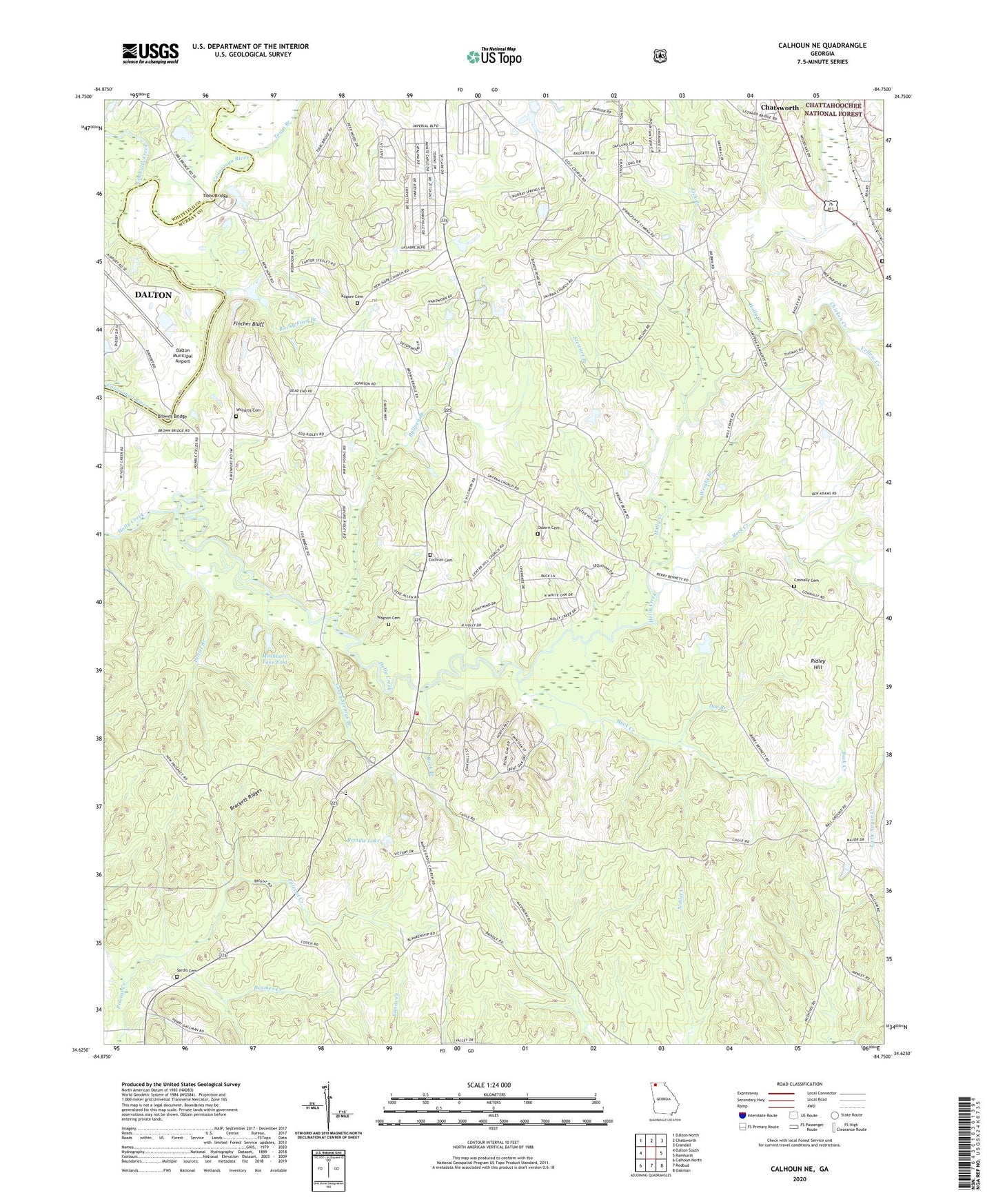
Calhoun NE Georgia US Topo Map
Couldn't load pickup availability
Also explore the Calhoun NE Forest Service Topo of this same quad for updated USFS data
2024 topographic map quadrangle Calhoun NE in the state of Georgia. Scale: 1:24000. Based on the newly updated USGS 7.5' US Topo map series, this map is in the following counties: Murray, Whitfield. The map contains contour data, water features, and other items you are used to seeing on USGS maps, but also has updated roads and other features. This is the next generation of topographic maps. Printed on high-quality waterproof paper with UV fade-resistant inks.
Quads adjacent to this one:
West: Dalton South
Northwest: Dalton North
North: Chatsworth
Northeast: Crandall
East: Ramhurst
Southeast: Oakman
South: Redbud
Southwest: Calhoun North
This map covers the same area as the classic USGS quad with code o34084f7.
Contains the following named places: Ball Ground, Ball Ground Church, Beamer Creek, Brindle Lake, Brindle Lake Dam, Browns Bridge, Buck Creek, Bullpen Branch, Casey Springs Branch, Casey Springs Church, Casey Springs Division, Casey Springs School, Center Hill Church, Center Hill School, Chatsworth Christian Academy, Chicken Creek, Coahulla Creek, Cochran Cemetery, Connally Cemetery, Dalton Municipal Airport, Doe Branch, Fincher Bluff, Holley, Hooker School, Kanaanland Christian School, Kilgore Cemetery, Lick Branch, Lower Oak Grove School, Macedonia Church, Maranatha Church, Mashburn Lake East, Mashburn Lake East Dam, Mashburn Lake West, Mount Zion Cemetery, Murray County Fire Department Station 5, Nashburn Lake West Dam, New Hope Church, New Prospect Baptist Church Cemetery, New Prospect Church, Oakland School, Old Fashion Baptist Church, Osborn Cemetery, Pettiet Branch, Ridley Hill, Rock Branch, Rock Creek, Rocky Ford Branch, Sardis Cemetery, Sardis Church, Smoke Ford, Smyrna Church, Stewart Branch, Sugar Creek School, Tibbs Bridge, Timms Chapel, Town Branch, Wagnon Cemetery, Wells, Williams Cemetery, Wright Branch, Yellow Creek