MyTopo
Dawsonville Georgia US Topo Map
Couldn't load pickup availability
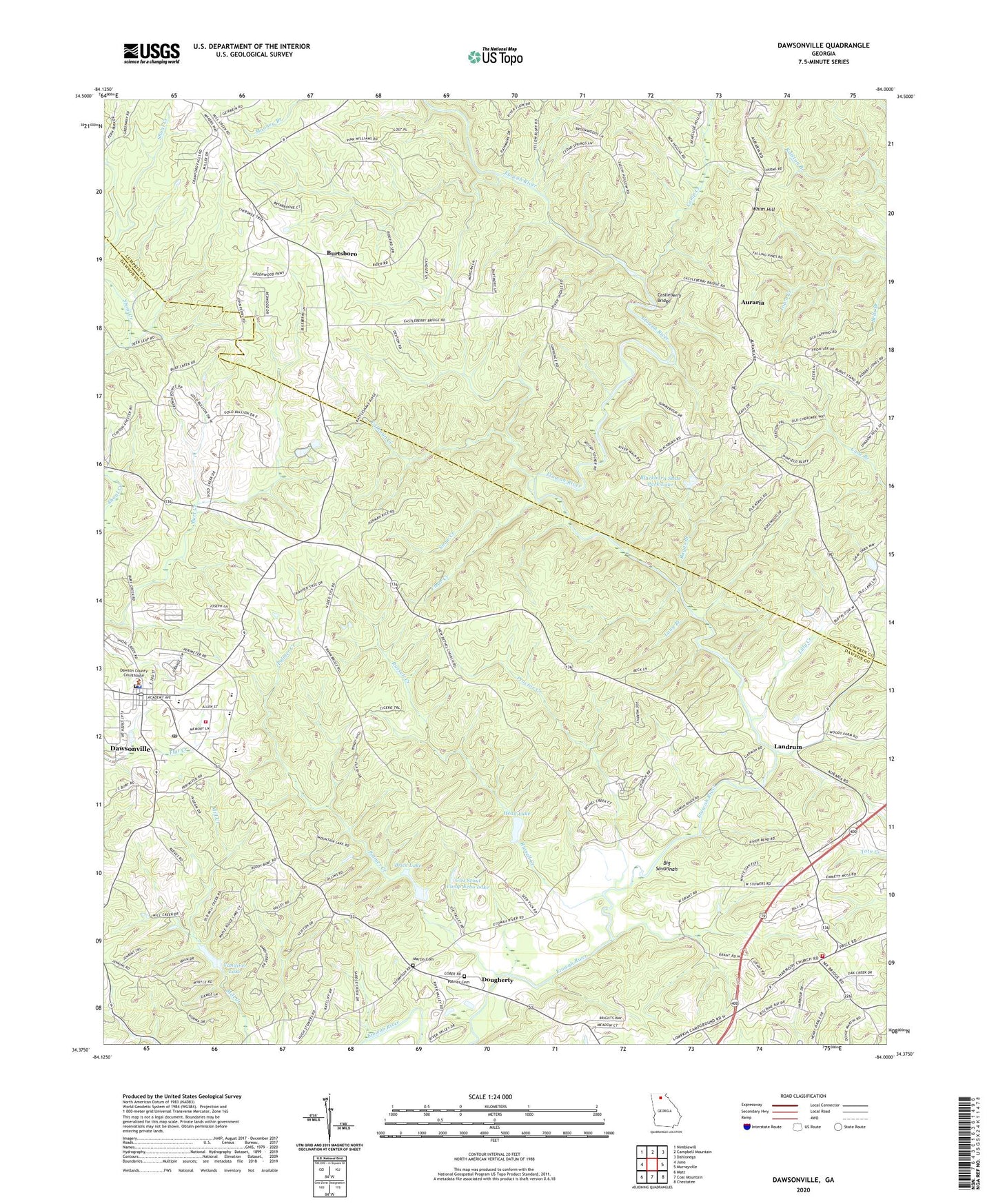
2024 topographic map quadrangle Dawsonville in the state of Georgia. Scale: 1:24000. Based on the newly updated USGS 7.5' US Topo map series, this map is in the following counties: Dawson, Lumpkin. The map contains contour data, water features, and other items you are used to seeing on USGS maps, but also has updated roads and other features. This is the next generation of topographic maps. Printed on high-quality waterproof paper with UV fade-resistant inks.
Quads adjacent to this one:
West: Juno
Northwest: Nimblewill
North: Campbell Mountain
Northeast: Dahlonega
East: Murrayville
Southeast: Chestatee
South: Coal Mountain
Southwest: Matt
This map covers the same area as the classic USGS quad with code o34084d1.
Contains the following named places: Antioch Church, Auraria, Auraria Church, Baggs Branch, Bainbridge Shaft, Barlow Cuts, Battle Branch Mine, Betz Mine, Blackburn Elementary School, Blackburn State Park Lake, Blackburn State Park Lake Dam, Blacks Mill Division, Blackwell Shaft, Brice Lake, Burtsboro, Calhoun Creek, Camp Creek, Castleberry Bridge, Church of God, City of Dawsonville, Clear Creek, Dawson County Courthouse, Dawson County Crossroads School, Dawson County Detention Center, Dawson County Elementary School, Dawson County Fire Department Station 1, Dawson County Fire Department Station 3, Dawson County High School, Dawson County Middle School, Dawson County Sheriff's Office, Dawsonville, Dawsonville Church of God, Dawsonville Post Office, Dougherty, Etowah, Etowah Church, Etowah Mine, Etowah River Watershed Dam Number 10, Etowah River Watershed Dam Number 12, Etowah River Watershed Dam Number 13, Etowah River Watershed Structure Number 12 Dam, Forest School, Gayden Shaft, Girl Scout Camp Echo Lake, Gold Hill Mine, Gordon Cut, Harmony Church, Head Lake, Hedwig-Chicago Mine, Hightower State Nursery, Hutcheson Mill, Josephine-Topabri Mine, Landrum, Lilly Creek, Long Branch, Martin Cemetery, Palmer Cemetery, Palmer Creek, Pine Grove Montessori School, Pleasant Hill Church, Pollard Tunnel, Proctor Creek, Ralston Mine, Robinson Elementary School, Rogers Shaft, Russell Creek, Snow Creek, Vandiver Lake, Whim Hill, Whim Hill Mine, Zion Hill Church