MyTopo
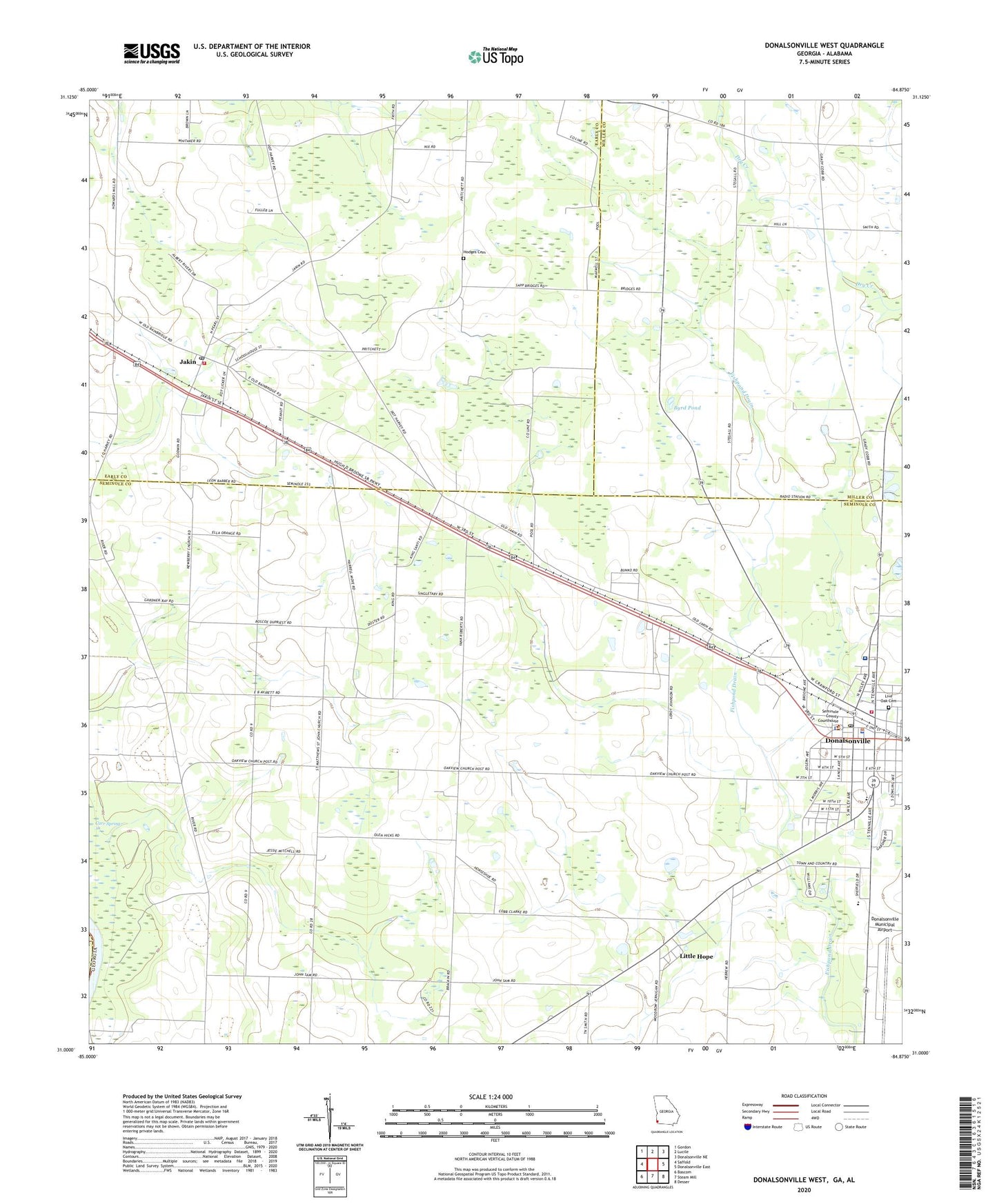
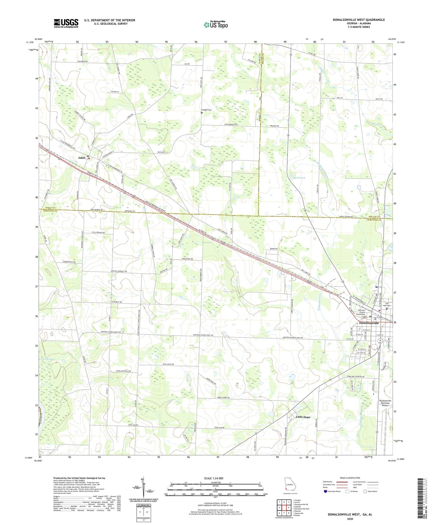
Donalsonville West Georgia US Topo Map
Couldn't load pickup availability
2024 topographic map quadrangle Donalsonville West in the state of Georgia. Scale: 1:24000. Based on the newly updated USGS 7.5' US Topo map series, this map is in the following counties: Seminole, Early, Miller, Houston. The map contains contour data, water features, and other items you are used to seeing on USGS maps, but also has updated roads and other features. This is the next generation of topographic maps. Printed on high-quality waterproof paper with UV fade-resistant inks.
Quads adjacent to this one:
West: Saffold
Northwest: Gordon
North: Lucile
Northeast: Donalsonville NE
East: Donalsonville East
Southeast: Desser
South: Steam Mill
Southwest: Bascom
This map covers the same area as the classic USGS quad with code o31084a8.
Contains the following named places: Byrd Pond, Carr Spring, Church of God, City of Donalsonville, City of Jakin, Davis Park, Donalsonville, Donalsonville City Hall, Donalsonville Fire Department, Donalsonville Free Will Baptist Church, Donalsonville Hospital, Donalsonville Municipal Airport, Donalsonville Police Department, Donalsonville Post Office, Early County Fire Department Jakin Station, First Assembly of God Church, First Baptist Church, First Church of the Nazarene, First Presbyterian Church, Friendship United Methodist Church, Hicks Landing Strip, Hodges Cemetery, Hopewell Church, Jakin, Jakin Church of God, Jakin City Cemetery, Jakin Fire Department, Jakin Post Office, Jakin United Methodist Church, Little Hope, Live Oak African Methodist Episcopal Church, Live Oak Cemetery, Macedonia Baptist Church, McCormick School, Midtown Shopping Center, Midway Church, Midway School, Newberry Church, Oak View Church, Oakview Church of God Cemetery, Rocky Ridge Church, Saint Matthews Church, Seminole County Courthouse, Seminole County Elementary School, Seminole County Jail, Seminole County Library, Seminole County Middle - High School, Seminole County Sheriff's Office, Southeastern Holiness Institute, Town and Country Estates, United States Highway 84 Shopping Center, WGMK-FM (Donalsonville), WSEM-AM (Donalsonville)


