MyTopo
Double Lakes Georgia US Topo Map
Couldn't load pickup availability
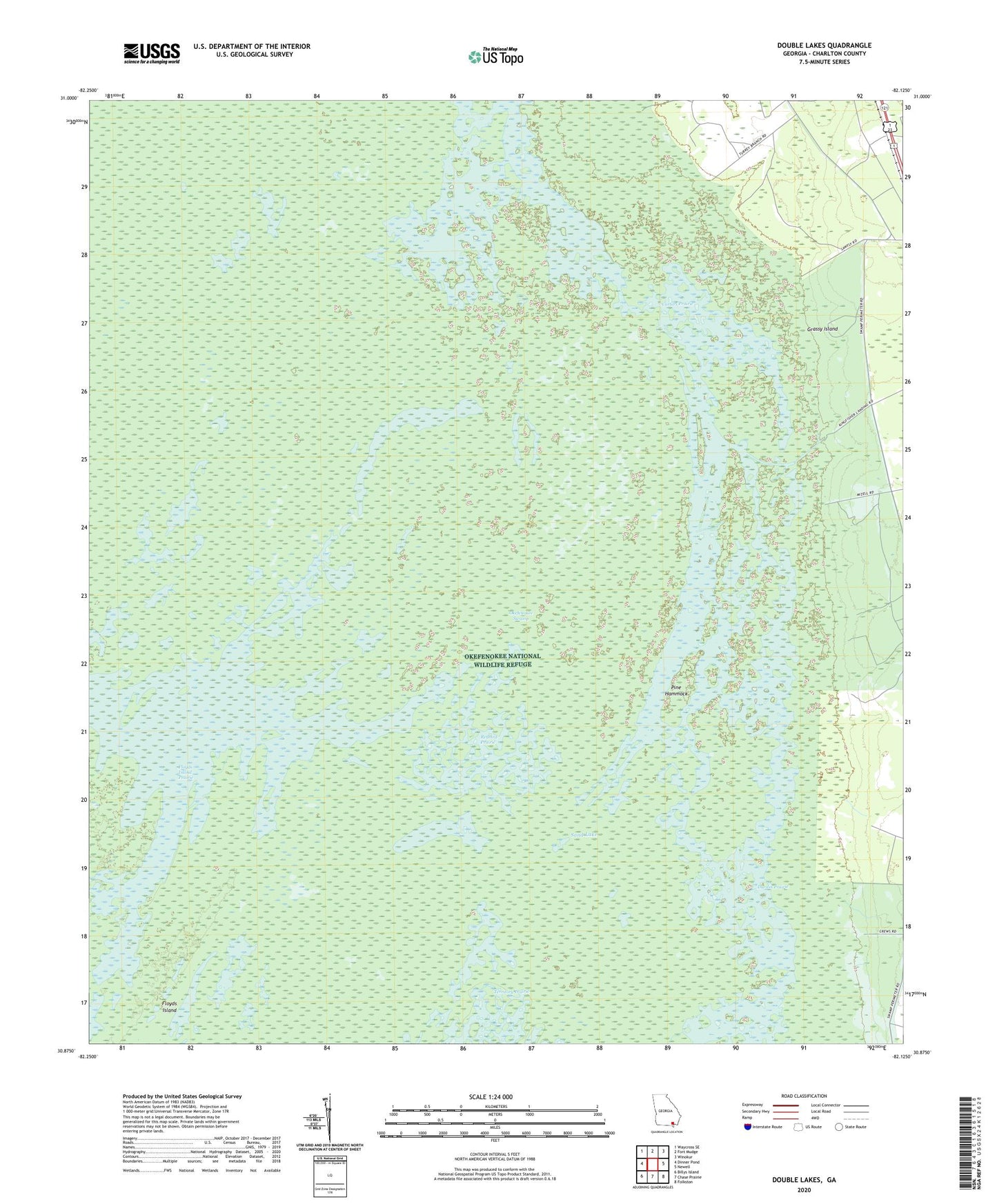
2024 topographic map quadrangle Double Lakes in the state of Georgia. Scale: 1:24000. Based on the newly updated USGS 7.5' US Topo map series, this map is in the following counties: Charlton. The map contains contour data, water features, and other items you are used to seeing on USGS maps, but also has updated roads and other features. This is the next generation of topographic maps. Printed on high-quality waterproof paper with UV fade-resistant inks.
Quads adjacent to this one:
West: Dinner Pond
Northwest: Waycross SE
North: Fort Mudge
Northeast: Winokur
East: Newell
Southeast: Folkston
South: Chase Prairie
Southwest: Billys Island
This map covers the same area as the classic USGS quad with code o30082h2.
Contains the following named places: Bear Lake, Bluff Lake, Carters Prairie, Cypress Lake, Double Lakes, Duck Lake, Durdin Lake, Durdin Prairie, Elder Lake, Flag Lake, Folkston Division, Grassy Island, Grassy Lake, Hannom Lake, Kingfisher Landing, Log Lake, Long Lake, Mose Lake, Mud Lake, North Lake, Perch Lake, Pine Hammock, Redbird Prairie, Sand Lake, South Lake, Square Lake, Trout Lake