MyTopo
Newell Georgia US Topo Map
Couldn't load pickup availability
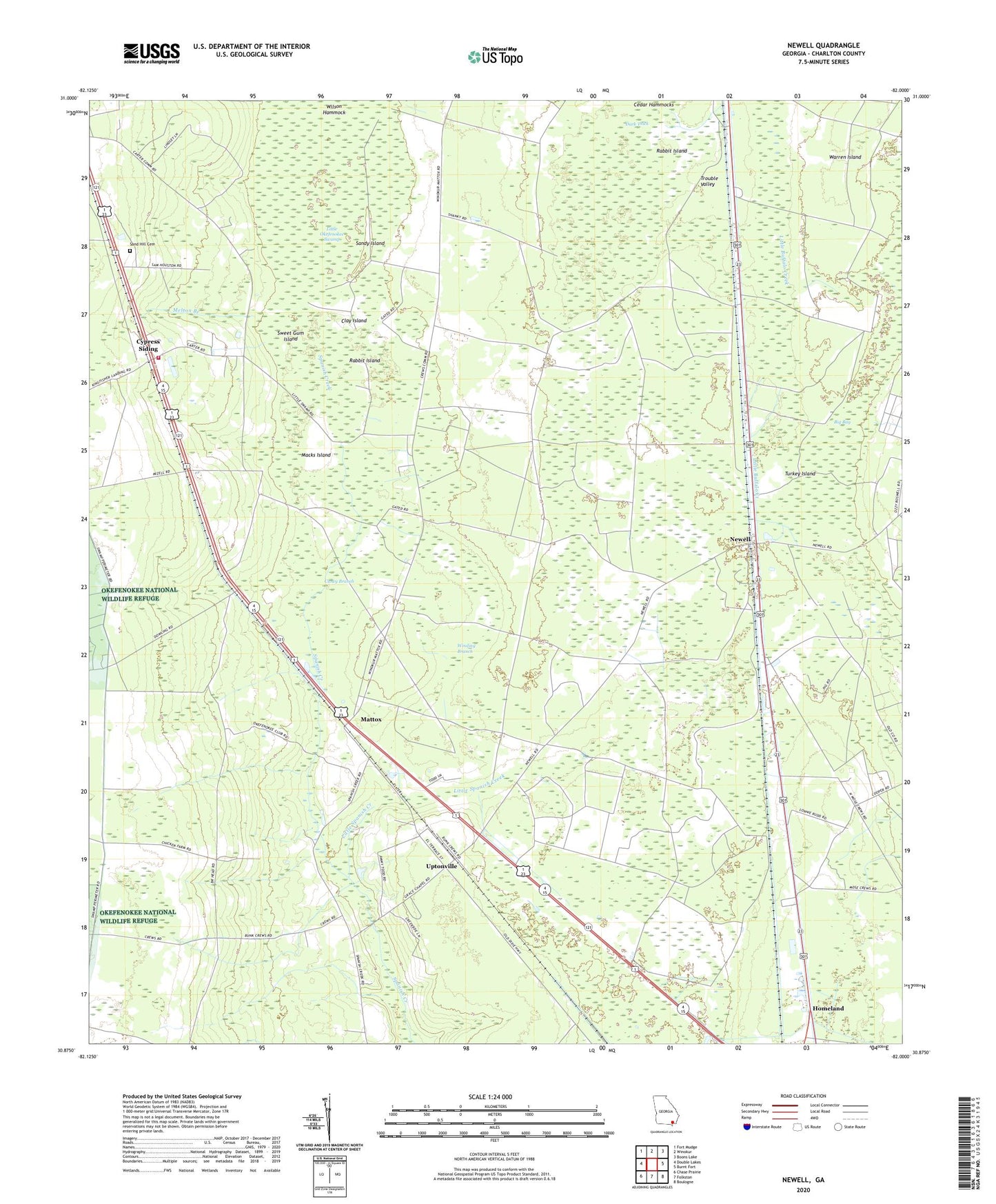
2024 topographic map quadrangle Newell in the state of Georgia. Scale: 1:24000. Based on the newly updated USGS 7.5' US Topo map series, this map is in the following counties: Charlton. The map contains contour data, water features, and other items you are used to seeing on USGS maps, but also has updated roads and other features. This is the next generation of topographic maps. Printed on high-quality waterproof paper with UV fade-resistant inks.
Quads adjacent to this one:
West: Double Lakes
Northwest: Fort Mudge
North: Winokur
Northeast: Boons Lake
East: Burnt Fort
Southeast: Boulogne
South: Folkston
Southwest: Chase Prairie
This map covers the same area as the classic USGS quad with code o30082h1.
Contains the following named places: Burch Siding, Caney Branch, Cedar Hammocks, Charlton County Fire Department Station 3, Clay Island, Cypress Siding, Dark Thick, Grace Chapel, Little Spanish Creek, Macks Island, Mattox, Mays Bluff Branch, Melton Branch, Newell, Petersons, Petty School, Rabbit Island, Racepond Church, Sand Hill Cemetery, Sand Hill Church, Sandy Island, Sweet Gum Island, Trouble Valley, Turkey Island, Uptonville, Warren Island, Wilson Hammock, Winding Branch, Winokur Lookout Tower, ZIP Code: 31537