
MyTopo
Farrar Georgia US Topo Map
Couldn't load pickup availability
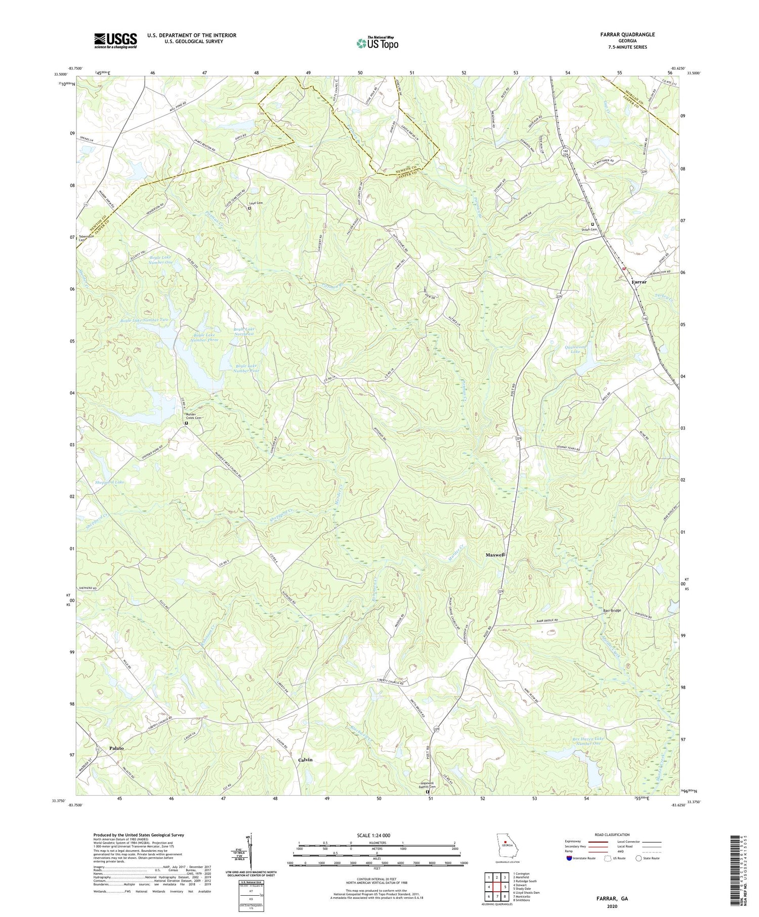
2024 topographic map quadrangle Farrar in the state of Georgia. Scale: 1:24000. Based on the newly updated USGS 7.5' US Topo map series, this map is in the following counties: Jasper, Newton, Morgan. The map contains contour data, water features, and other items you are used to seeing on USGS maps, but also has updated roads and other features. This is the next generation of topographic maps. Printed on high-quality waterproof paper with UV fade-resistant inks.
Quads adjacent to this one:
West: Stewart
Northwest: Covington
North: Mansfield
Northeast: Rutledge South
East: Shady Dale
Southeast: Smithboro
South: Monticello
Southwest: Lloyd Shoals Dam
This map covers the same area as the classic USGS quad with code o33083d6.
Contains the following named places: Barr Bridge, Boyle Lake Dam Number Five, Boyle Lake Dam Number One, Boyle Lake Dam Number Three, Boyle Lake Dam Number Two, Boyle Lake Northeast, Boyle Lake Northeast Dam, Boyle Lake Number Five, Boyle Lake Number Four, Boyle Lake Number Four Dam, Boyle Lake Number One, Boyle Lake Number Three, Boyle Lake Number Two, Boyle Murder Lake, Boyle Murder Lake Dam, Calvin, Eudora Division, Farrar, Hopewell Baptist Cemetery, Hopewell Baptist Church, Jasper County Emergency Services Station 7 Farrar, Lake Celeste, Lake Celeste Dam, Liberty Church, Loyd Cemetery, Maxwell, Murder Creek Cemetery, Murder Creek Church, Murder Creek Lake, Murder Creek Lake Dam, Palalto Airport, Palato, Pittman Branch, Pittman Creek, Pitts Chapel, Quailwood Lake, Quailwood Lake Dam, Rex Haven Lake Number One, Rex Haven Lake Number One Dam, Rex Haven Lake Number Two, Rex Haven Lake Number Two Dam, Rex Haven Lakes, Robinson Creek, Rock Hill School, Shady Grove Church, Sheppard Creek, Sheppard Lake, Sheppard Lake Dam, Shiloh Cemetery, Shiloh Church, ZIP Codes: 30055, 31085


