MyTopo
Fort Valley West Georgia US Topo Map
Couldn't load pickup availability
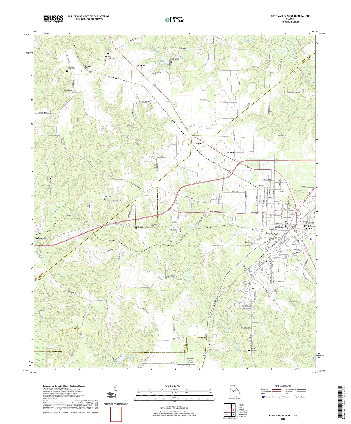
2024 topographic map quadrangle Fort Valley West in the state of Georgia. Scale: 1:24000. Based on the newly updated USGS 7.5' US Topo map series, this map is in the following counties: Crawford, Peach, Macon. The map contains contour data, water features, and other items you are used to seeing on USGS maps, but also has updated roads and other features. This is the next generation of topographic maps. Printed on high-quality waterproof paper with UV fade-resistant inks.
Quads adjacent to this one:
West: Reynolds
Northwest: Roberta
North: Knoxville
Northeast: Byron
East: Fort Valley East
Southeast: Perry West
South: Marshallville
Southwest: Garden Valley
This map covers the same area as the classic USGS quad with code o32083e8.
Contains the following named places: Beckley Farms Airport, Benevolence Church, Burney's Greenhouse, Chamlee Church, Church of God, City of Fort Valley, Congregational Methodist Church, Cool Spring Church, Cool Spring Church Cemetery, Crawford County Fire Department Station 7, First Baptist Church of Fort Valley, First Methodist Church, Fort Valley, Fort Valley Church, Fort Valley City Hall, Fort Valley Female College, Fort Valley Female Seminary, Fort Valley Fire Department Station 1, Fort Valley Fire Department Station 2, Fort Valley High School, Fort Valley Male Academy, Fort Valley Middle School, Fort Valley Police Department, Fort Valley Post Office, Fort Valley Primary School, Fort Valley Shopping Center, Fort Valley State University, Fort Valley State University Police Department, Gassick Cemetery, Grady Institute, Grogan, Harris Chapel, Harris Chapel Cemetery, Hartley, Hebron Church, Hunnicutt Lake, Hunnicutt Lake Dam, Hunt Elementary School, Hunt School, Indian Creek, Indian Oaks, Jones Cemetery, Kingdom Hall Church, Lee Pope, Matthews School, Mount Olive Methodist Episcopal Church, Mount Zion Cemetery, Mount Zion Church, Oak Lawn Cemetery, Oak Lawn Church, Peach County Courthouse, Peach County Fire Department Station 3, Peach County Fire Station 6, Peach County High School, Peach County Jail, Peach County Sheriff's Department, Peach County Training School, Peach Valley, Pierceson Lake, Pierceson Lake Dam, Ponderosa Lake, Rose Chapel, Ross Chapel, Ross Chapel Cemetery, Royal C Peabody Trade School, Saint Andrews Episcopal Church, Saint Juliana Church, Stallworth Trailer Park, State College, Taylors Pond, Thomas Public Library, Trinity Baptist Church, Union Baptist Church, Union Church, Ushers Temple, Valley Pines, Washington Square, Webb and Shepard Farm Airport, Williams Cemetery, Willow Lake, Willow Lake Cemetery, WKXK-FM (Fort Valley), WXKO-AM (Fort Valley), Zenith, Zenith Road Church Cemetery, ZIP Code: 31030


