MyTopo
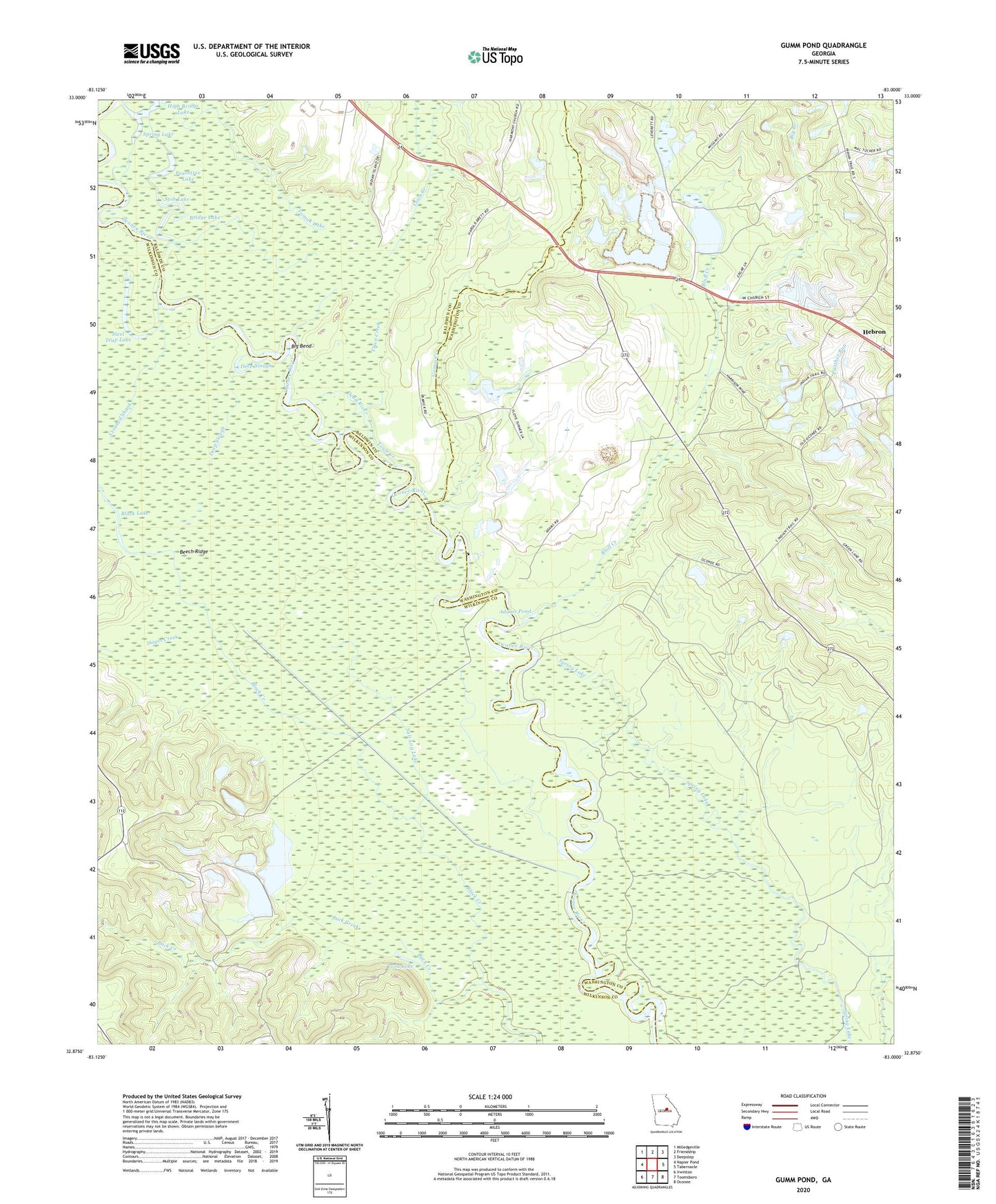
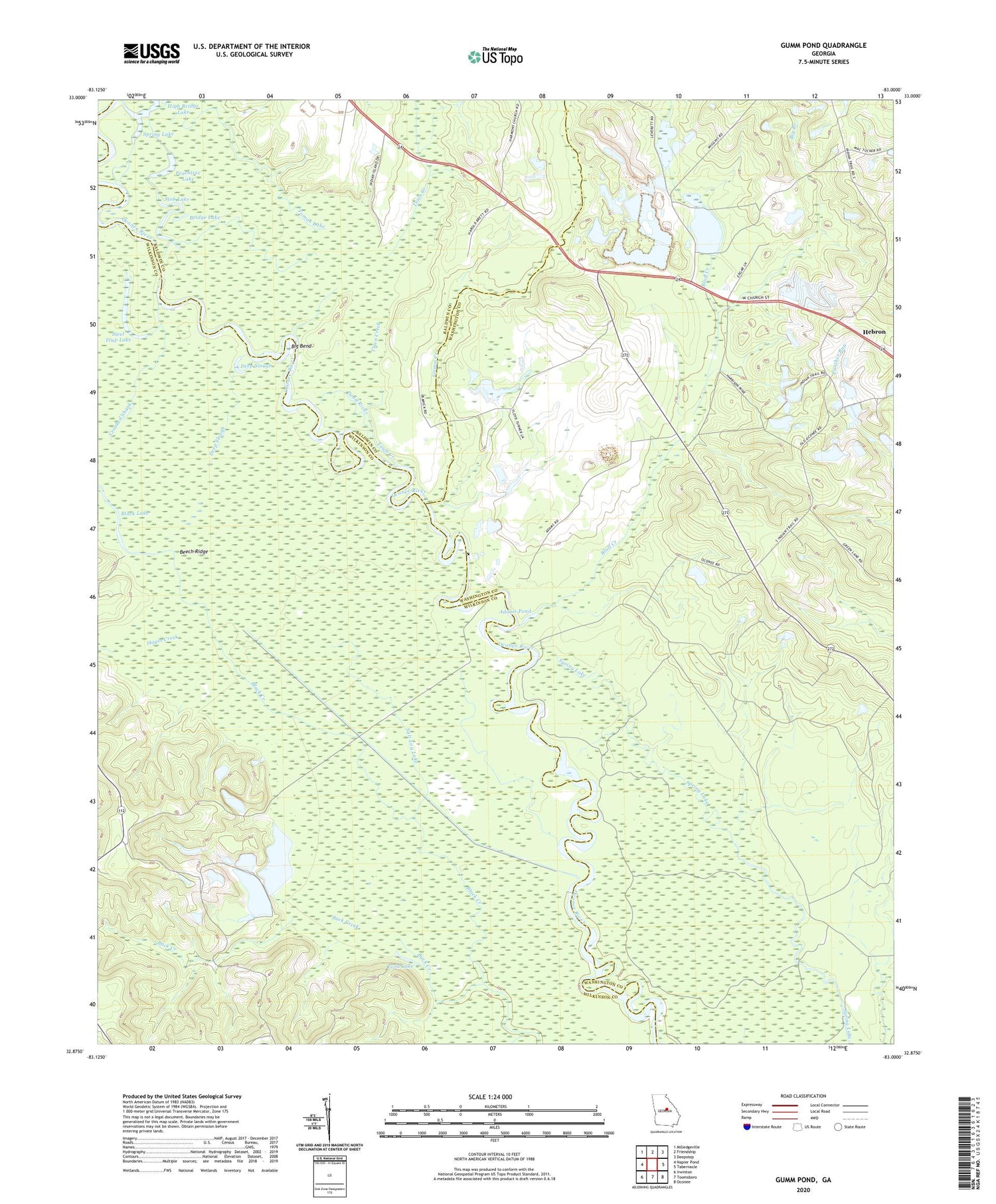
Gumm Pond Georgia US Topo Map
Couldn't load pickup availability
2024 topographic map quadrangle Gumm Pond in the state of Georgia. Scale: 1:24000. Based on the newly updated USGS 7.5' US Topo map series, this map is in the following counties: Washington, Wilkinson, Baldwin. The map contains contour data, water features, and other items you are used to seeing on USGS maps, but also has updated roads and other features. This is the next generation of topographic maps. Printed on high-quality waterproof paper with UV fade-resistant inks.
Quads adjacent to this one:
West: Napier Pond
Northwest: Milledgeville
North: Friendship
Northeast: Deepstep
East: Tabernacle
Southeast: Oconee
South: Toomsboro
Southwest: Irwinton
This map covers the same area as the classic USGS quad with code o32083h1.
Contains the following named places: Adams Pond, Beech Ridge, Big Bend, Big Branch, Black Creek, Black Lake, Bluff Creek, Bridge Lake, Buck Creek, Cabin Hill Church, Centerville School, Cox School, Crooked Shank, Dead River, Deep Slough, Fowlers Store, Gumm Creek, Gumm Hill Church, Gumm Pond, Hayes Creek, Hazeltine School, High Bridge Lake, June Hill School, Lord Lake, Peachtree Lake, Poplar School, Poplar Springs Baptist Church, Poplar Springs Christian Church, Ramage Branch, Salt Log Lake, Spring Lake, Steel Trap Lake, Stob Lake, Stubbs Store, Tomas Lake, Town Creek